TorontoOntario · 36 tours
 Niagara FallsOntario · 25 tours
 New York CityNew York · 30 tours
 Las VegasNevada · 8 tours
 San FranciscoCalifornia · 16 tours
 VancouverBritish Columbia · 17 tours
 DubaiUAE · 54 tours
 Abu DhabiUAE · 5 tours
 Buenos AiresArgentina · 23 tours
 AthensGreece · 31 tours
 AucklandNew Zealand · 38 tours
 CancunMexico · 54 tours
No destinations match “”. Try searching all tours instead — that search understands full questions, not just place names.
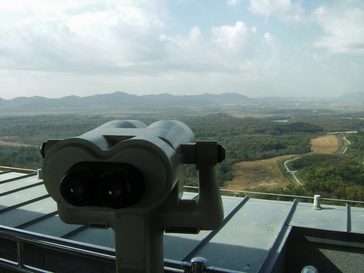
The heavily fortified buffer zone between North and South Korea, visited via Imjingak Park, the Bridge of Freedom, an infiltration tunnel, and the Dora Observatory looking north across the border.
Visitor guide
The Korean Demilitarized Zone, or DMZ, is a strip of land about 4 kilometres wide that runs across the Korean Peninsula near the 38th parallel, separating North and South Korea. Imjingak is a park on the Imjin River near Paju that is a common starting point for visits from the South. Together they offer a view into the division of Korea and into an unusually undisturbed natural area.
The Korean War began on 25 June 1950 and ended in 1953 near the 38th parallel. The Armistice Agreement of 27 July 1953 created the DMZ, with each side pulling its troops back 2,000 metres from the front line to form a 4-kilometre buffer. The Military Demarcation Line runs through the centre. Wikipedia gives the length as about 250 kilometres in its text and 238 kilometres in its infobox. At Panmunjom, near the western coast, the Joint Security Area is the only place where the two Koreas negotiate.
Imjingak is a park on the banks of the Imjin River, along the tracks of the former Gyeongui Line. It was built in 1972 to console people from both sides of the peninsula who cannot return to their hometowns because of the division, and it receives about 1.2 million visitors a year. Its facilities include Korean War monuments, an observation deck and a pool shaped like the peninsula.
The Bridge of Freedom is a former railroad bridge over the Imjin River used by repatriated prisoners of war. A memorial called Mangbaedan allows displaced people to bow toward family in the North during festivals such as New Year and Chuseok. A steam locomotive stands rusted and riddled with bullet and shell marks. It was carrying supplies to UN forces in 1950 and was destroyed on 31 December of that year to keep it from falling into North Korean hands. It was registered as a Cultural Heritage item in 2004.
South Korea has discovered four tunnels dug by North Korea under the DMZ since 1974, and visitors from the South can tour the second, third and fourth. The Third Tunnel was discovered on 10 June 1978, according to the Paju city DMZ guide. It gives the length as 1,635 metres and the distance from Seoul as 52 kilometres; Wikipedia gives a depth of about 73 metres below ground and a distance of 44 kilometres from Seoul, so figures differ by source. Photography is forbidden inside.
Dora Observatory stands on Dorasan in Paju and offers views across the DMZ. Through binoculars, visitors can see North Korean territory, including the city of Kaesong and the propaganda village of Kijong-dong. Dorasan Station nearby is designed to connect the North and South railroads if they are ever reconnected.
The lack of human activity has made the DMZ one of the best-preserved temperate habitats in the world, with over 6,000 species of plants and animals reported, including the red-crowned crane, the white-naped crane, the Korean fox and the Asiatic black bear. Ecologists have identified about 2,900 plant species, 70 mammal types and 320 bird types in the buffer zone.
Access to the DMZ and the Civilian Control Zone is restricted and rules change with security conditions, so most visits are arranged in advance through guided tours. A private guide and driver can handle the checkpoints and explain the history at each stop.
See every tour and attraction we cover in South Korea.