TorontoOntario · 36 tours
 Niagara FallsOntario · 25 tours
 New York CityNew York · 30 tours
 Las VegasNevada · 8 tours
 San FranciscoCalifornia · 16 tours
 VancouverBritish Columbia · 17 tours
 DubaiUAE · 54 tours
 Abu DhabiUAE · 5 tours
 Buenos AiresArgentina · 23 tours
 AthensGreece · 31 tours
 AucklandNew Zealand · 38 tours
 CancunMexico · 54 tours
No destinations match “”. Try searching all tours instead — that search understands full questions, not just place names.
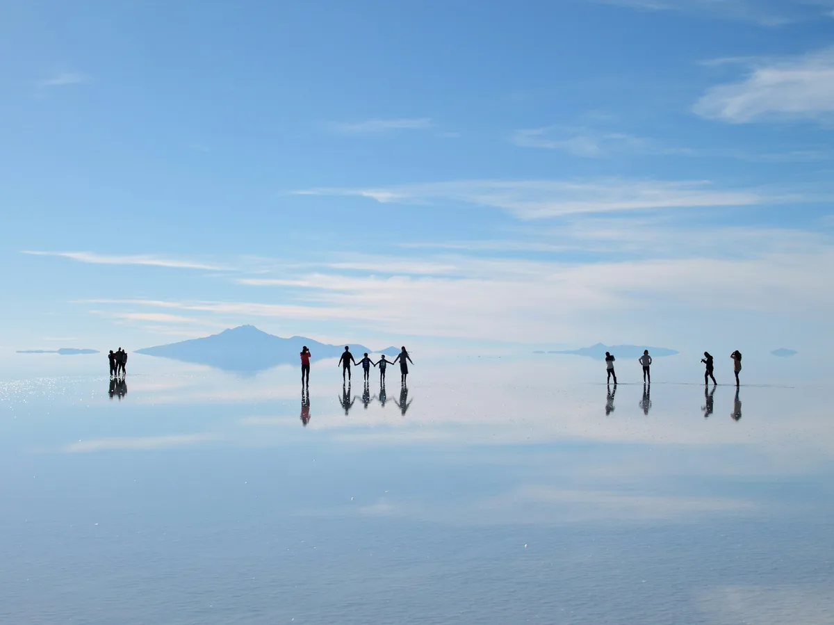
The world's largest salt flat, a blinding-white expanse of over 10,000 square kilometers in the Bolivian Altiplano that turns into a giant mirror during the rainy season.
 Multi-Day Tours
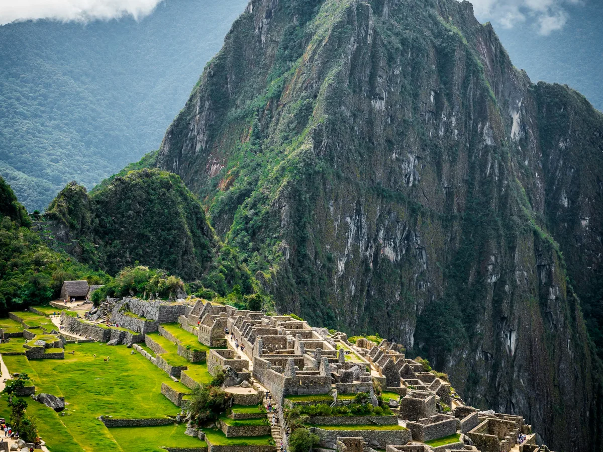
Ten days linking Peru's Inca heartland with Bolivia's surreal salt flats: explore Cusco, the Sacred Valley and Machu Picchu, hike Rainbow Mountain, then cross into La Paz and drive out across the Uyuni salt flats for sunset and stars.
 Multi-Day Tours Popular Pick
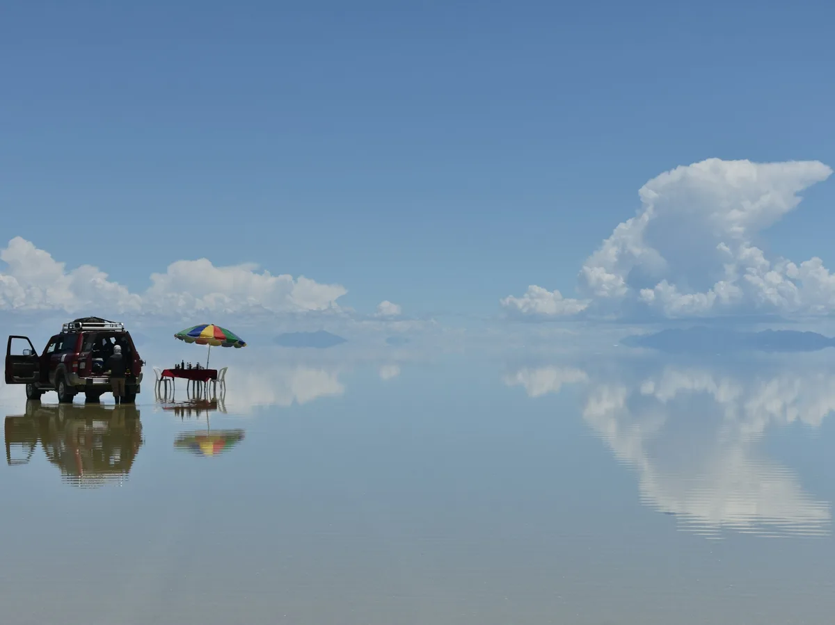
A week through Bolivia's most iconic landscapes — La Paz's historic center and cable cars, the ruins of Tiwanaku, a hike along Lake Titicaca's Isla del Sol, and a finale on the blinding-white Uyuni salt flats.
 Multi-Day Tours
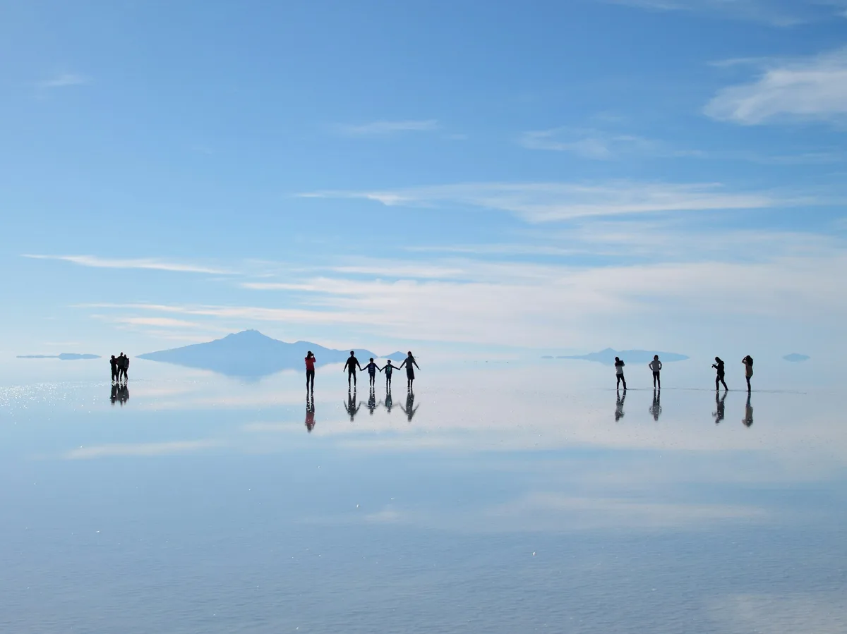
Eight days from La Paz through Bolivia's dramatic south — the Uyuni salt flats, a hike up Tunupa Volcano, otherworldly desert lagoons, and hot spring soaks before returning to the capital.
Visitor guide
The Salar de Uyuni is a vast salt flat in southwestern Bolivia, in the Daniel Campos Province of the Potosi Department near the crest of the Andes. Covering about 10,582 square kilometres at an elevation of roughly 3,650 metres, it is described by Wikipedia as the largest salt flat in the world.
The salar developed from a series of ancient lakes on the Altiplano, the high plateau formed as the Andes rose. Between roughly 30,000 and 42,000 years ago the area was part of Lake Minchin, which later gave way to Paleo Lake Tauca, which reached a maximum depth of about 140 metres. The youngest prehistoric lake, Coipasa, dried roughly 11,500 to 13,400 years ago and left behind the Salar de Coipasa, the larger Salar de Uyuni and the modern lakes Poopo and Uru Uru.
The salt crust sits above lake mud and brine, and the surface is extremely flat, with an average elevation that varies by less than one metre across the whole area. The brine is a saturated solution of sodium chloride, lithium chloride and magnesium chloride, which is why the salar sits within the so-called Lithium Triangle. Bolivia holds about 22 percent of the world's known lithium resources according to the article, most of them in the Salar de Uyuni, and extraction has been controversial.
From December to April rainfall can leave a thin layer of still water across the flat, which turns it into what Wikipedia calls the world's largest mirror, reflecting the sky for around 129 kilometres. Temperatures are fairly stable, peaking near 21 degrees Celsius in the warmer months, but nights are cold year-round and humidity is low. January is the wettest month and rainfall is minimal for most of the year.
Because of its size, brightness, flatness and clear skies, the salar is used to calibrate Earth-observation satellites, including missions such as ICESat-2 and Copernicus Sentinel-3B.
The centre of the salar holds a few islands that are remnants of volcanoes submerged during the Lake Minchin era. They feature fragile coral-like structures and fossil-rich deposits. Incahuasi Island is notable for its giant cacti and colonies of viscachas. The cacti grow about one centimetre per year and can reach around 12 metres.
The salar is otherwise largely devoid of wildlife and vegetation. Each November it becomes a breeding ground for three South American flamingo species: the Chilean, Andean and James's flamingos. About 80 other bird species are also present in the area.
Uyuni is the main gateway to the salar and was historically a distribution hub for minerals bound for Pacific ports. About three kilometres outside the town lies an antique train cemetery. Rail lines built by British engineers between 1888 and 1892 served the mining industry, and after mining declined in the 1940s many trains were abandoned there. Miners in the nearby village of Colchani work the salt through a local cooperative.
Salt hotels have been built from blocks of salt. The original Palacio de Sal, built in the mid-1990s, was dismantled in 2002 over sanitation and pollution concerns, and a new one was built around 2007 about 25 kilometres from Uyuni.
Salar means salt flat in Spanish and Uyuni comes from the Aymara word for an enclosure. Many locals prefer the name Salar de Tunupa. An Aymara legend says the surrounding mountains were giants and that a mother's tears mixed with her milk formed the salar, which should be read as legend, not geology. A private guided visit suits the salar, whose appearance changes with the season.
See every tour and attraction we cover in Bolivia.