TorontoOntario · 36 tours
 Niagara FallsOntario · 25 tours
 New York CityNew York · 30 tours
 Las VegasNevada · 8 tours
 San FranciscoCalifornia · 16 tours
 VancouverBritish Columbia · 17 tours
 DubaiUAE · 54 tours
 Abu DhabiUAE · 5 tours
 Buenos AiresArgentina · 23 tours
 AthensGreece · 31 tours
 AucklandNew Zealand · 38 tours
 CancunMexico · 54 tours
No destinations match “”. Try searching all tours instead — that search understands full questions, not just place names.
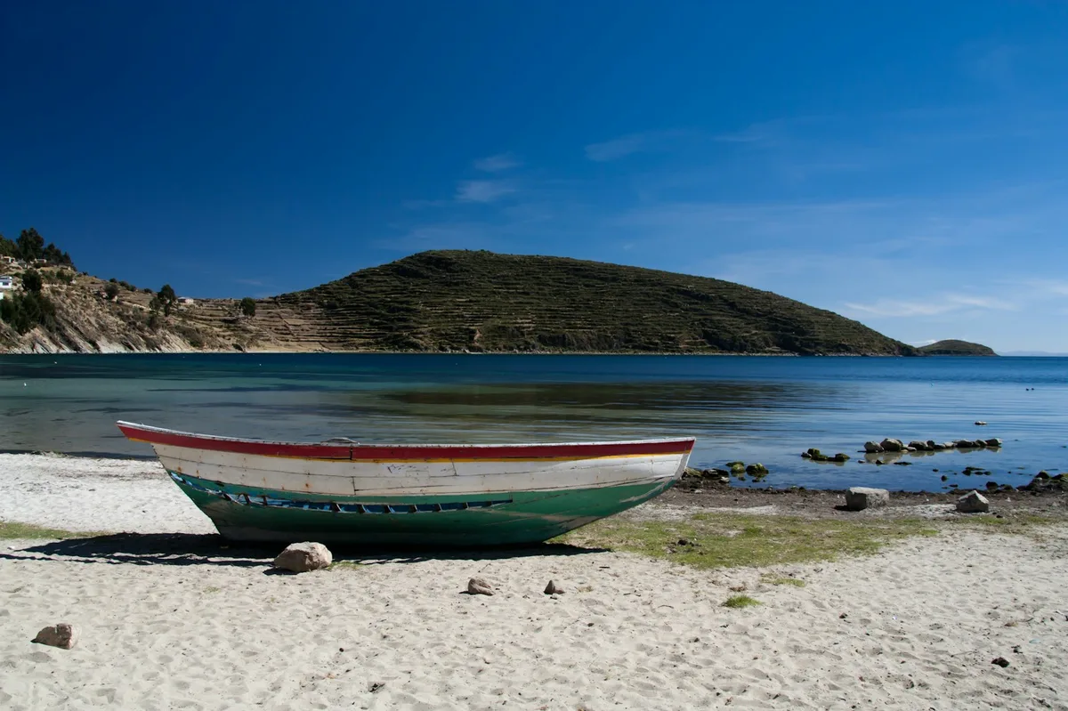
The highest navigable lake in the world, shared between Bolivia and Peru, ringed by Andean peaks and home to the sacred Isla del Sol with its Inca-era terraces and ruins.
 Multi-Day Tours Popular Pick
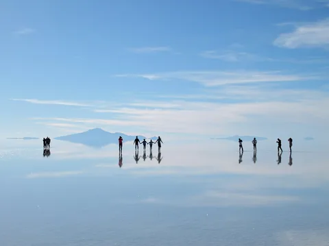
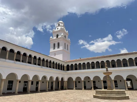
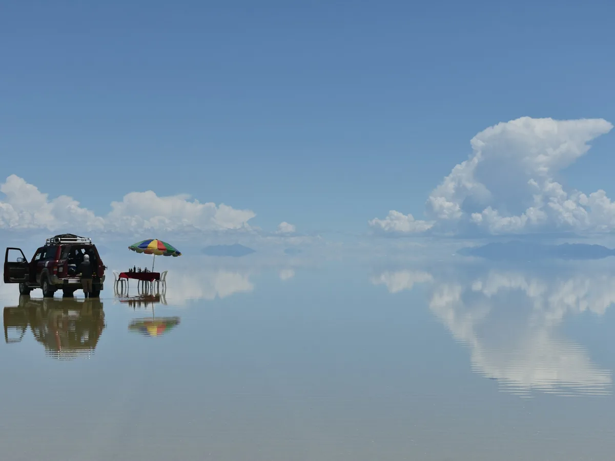
A week through Bolivia's most iconic landscapes — La Paz's historic center and cable cars, the ruins of Tiwanaku, a hike along Lake Titicaca's Isla del Sol, and a finale on the blinding-white Uyuni salt flats.
 Multi-Day Tours
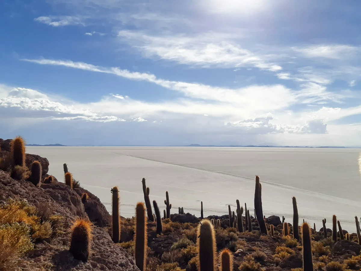
A week covering Bolivia's two most famous landscapes — Lake Titicaca's Isla del Sol and the blinding-white Uyuni salt flats — bookended by time exploring La Paz and the ancient ruins of Tiwanaku.
 Multi-Day Tours
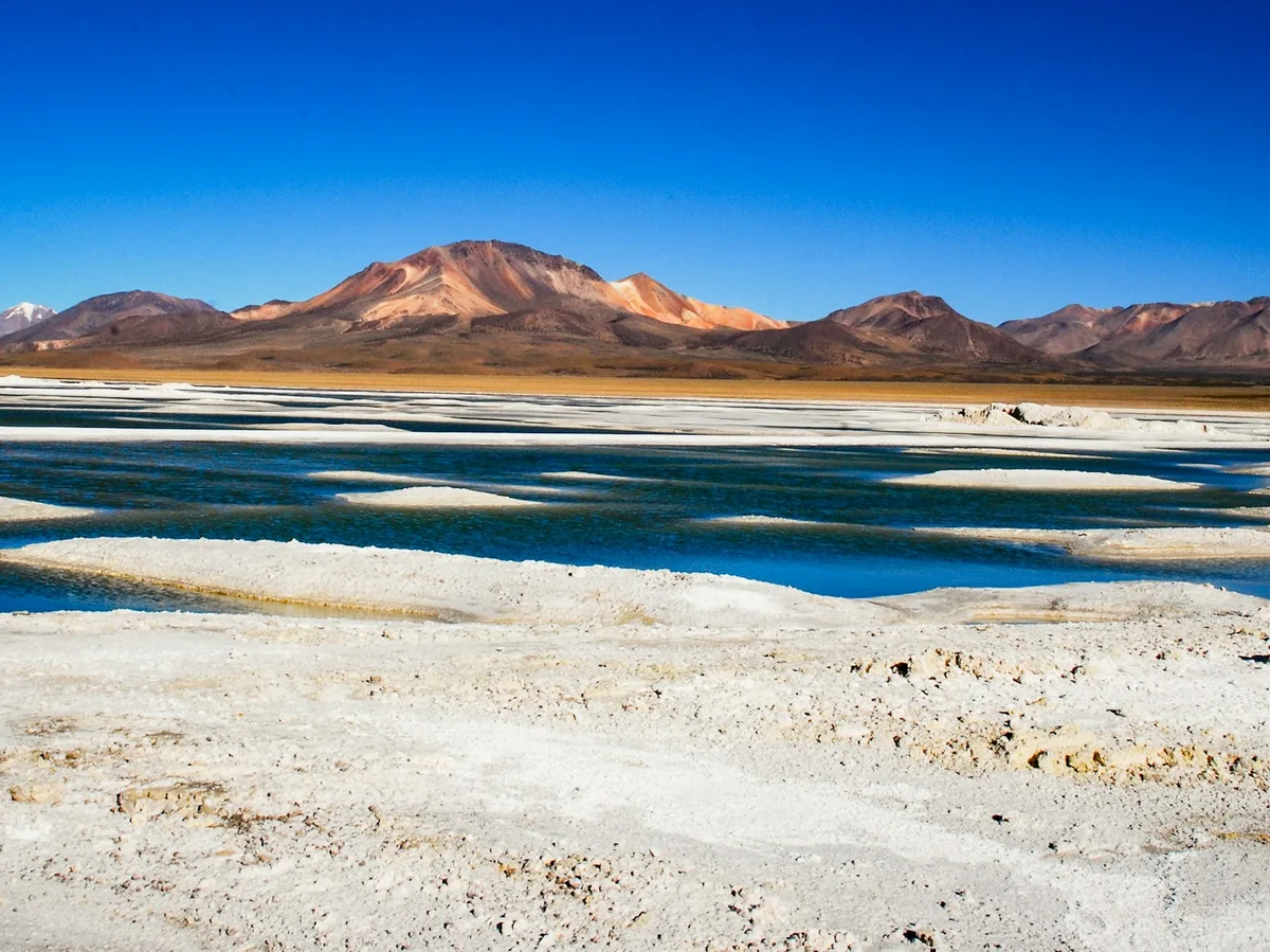
An eight-day sweep through Bolivia's natural highlights — La Paz's city sights, a night on Lake Titicaca's Isla del Sol, and sunset at the Uyuni salt flats before crossing the otherworldly Siloli Desert and Dali Desert.
Visitor guide
Lake Titicaca lies high in the Andes on the border between Peru and Bolivia, at the northern end of the Altiplano basin. It is the largest lake in South America by surface area and volume, with a surface elevation of about 3,812 metres, and is often called the highest navigable lake in the world.
The lake has a surface area of about 8,372 square kilometres, a maximum length of 190 kilometres and an average depth of about 107 metres, with a maximum depth given as 281 metres in the infobox and 284 metres in the text. Two subbasins are joined by the Strait of Tiquina, which is 800 metres across at its narrowest point. The smaller south-eastern subbasin, Winaymarka, is shallow, averaging about 9 metres deep.
Wikipedia points out that the highest navigable lake description generally refers to commercial craft and that smaller lakes sit higher. Twenty-seven rivers feed Titicaca, and its only outflow is the Desaguadero River, which carries only a small share of its water balance (sources give roughly 5 to 10 percent), with evaporation accounting for the rest. The water is slightly brackish.
The western shore is in Peru's Puno Region and the eastern in Bolivia's La Paz Department. Puno is the largest urban settlement on the lake, and Copacabana in Bolivia has regular boat links to Isla del Sol. Isla del Sol has no motor vehicles or paved roads and more than 180 ruins by one count in the article, most from the Inca period around the 15th century. Wikipedia says the Inca sun god was believed to have been born there. Isla de la Luna, to its east, has a temple built by Tiwanaku peoples that the Inca later built over.
On the Peruvian side, Amantani is a Quechua-speaking island with no cars or hotels, known for home stays and traditional dance. Taquile is known for its textile art, which UNESCO named a Masterpiece of the Oral and Intangible Heritage of Humanity, and its people follow a community-controlled model of tourism. The Uros floating islands are built from layers of totora reeds, and about 1,200 Uros lived on roughly 60 islands as of 2011, mostly near Puno.
The lake hosts more than 530 aquatic species, and about 90 percent of the basin's fish are endemic, including 23 Orestias species found only in the lake. The large Titicaca water frog and the flightless Titicaca grebe are both threatened and largely restricted to the lake. The Titicaca orestias is likely extinct, last seen in 1938, after competition and predation from introduced rainbow trout and silverside. Totora sedges grow in water shallower than about three metres.
The lake has a cold subtropical highland climate, with annual precipitation of about 610 millimetres, mostly from summer thunderstorms. Surface temperatures average 10 to 14 degrees Celsius, while deeper water stays between 10 and 11 degrees. Nights on the surrounding Altiplano can be cold, so visitors pack warm layers regardless of the season. A private guided visit suits the lake and its shore towns.
See every tour and attraction we cover in Bolivia.