TorontoOntario · 36 tours
 Niagara FallsOntario · 25 tours
 New York CityNew York · 30 tours
 Las VegasNevada · 8 tours
 San FranciscoCalifornia · 16 tours
 VancouverBritish Columbia · 17 tours
 DubaiUAE · 54 tours
 Abu DhabiUAE · 5 tours
 Buenos AiresArgentina · 23 tours
 AthensGreece · 31 tours
 AucklandNew Zealand · 38 tours
 CancunMexico · 54 tours
No destinations match “”. Try searching all tours instead — that search understands full questions, not just place names.
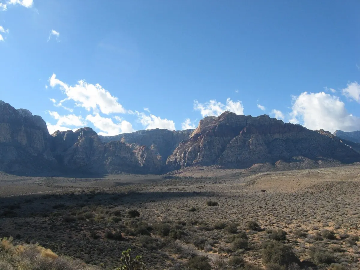
A dramatic red-sandstone conservation area with a scenic loop drive, just west of the city.
 Private Tours Popular Pick
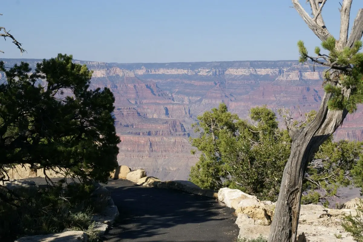
A private, full-day tour from Las Vegas to the Grand Canyon's West Rim, with a Hoover Dam photo stop along the way — in your own vehicle, at your own pace.
 Private Tours
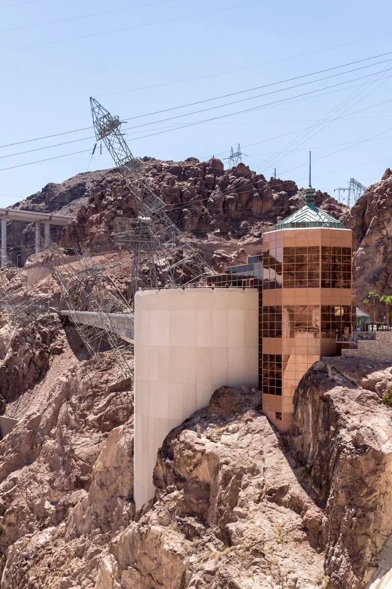
A private tour from Las Vegas to Hoover Dam — the visitor center, the dam overlook, and the Colorado River below — without the longer Grand Canyon excursion.
 Private Tours
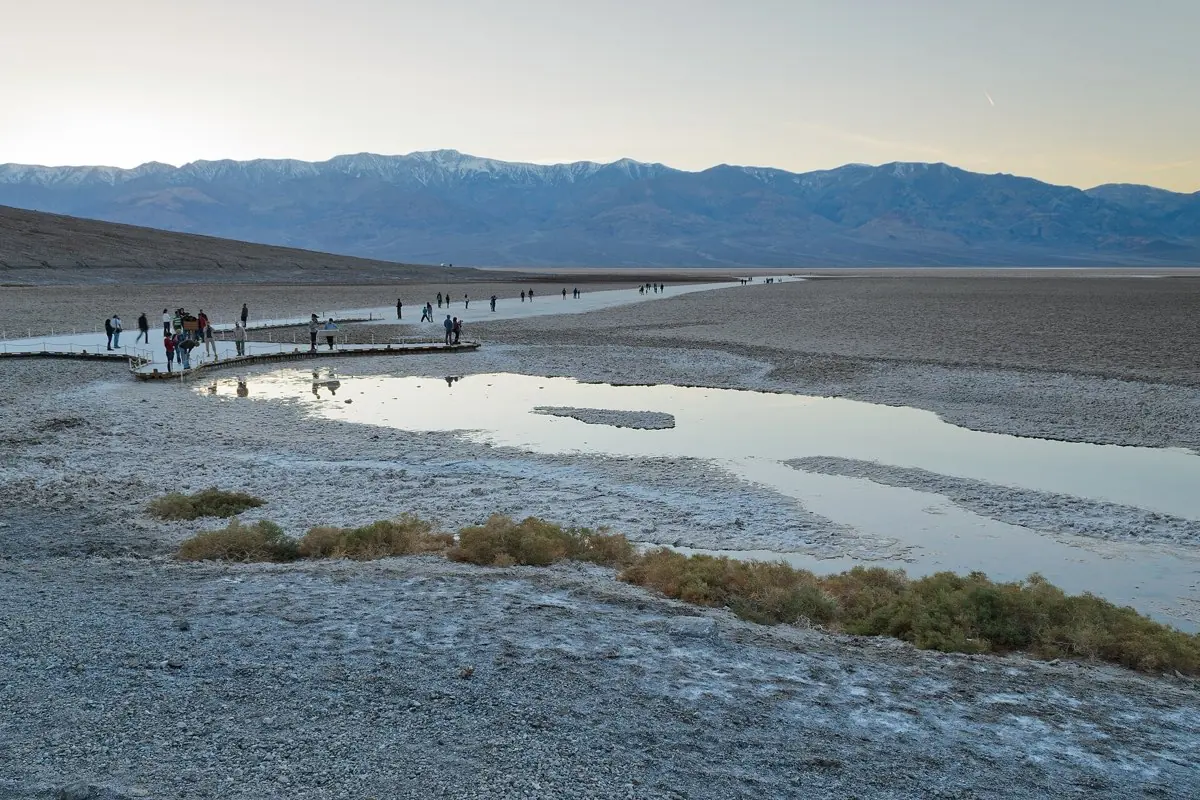
A private full-day tour from Las Vegas into Death Valley National Park — Badwater Basin, Zabriskie Point, and the otherworldly landscape of the lowest point in North America.
Visitor guide
Red Rock Canyon National Conservation Area is a roughly 197,000-acre stretch of Mojave Desert managed by the Bureau of Land Management in Clark County, Nevada, west of Las Vegas. Its red and cream sandstone cliffs, a 13-mile one-way Scenic Drive, and a fault that stacks older rock on younger rock make it one of the most studied and visited landscapes in southern Nevada.
The cliffs are Aztec Sandstone, formed from vast ancient sand dunes that were later cemented by calcium carbonate and iron oxides; the walls rise up to about 3,000 feet. The area's best-known geologic feature is the Keystone Thrust, a fault where older gray limestone was pushed over younger sandstone, an event tied to the Laramide orogeny roughly 66 million years ago. The fault is exposed for about 13 miles along the escarpment, and the contrast between gray cap rock and red sandstone is what many visitors notice first. La Madre Mountain, at 8,154 feet, is the high point of the area, while lower desert zones sit roughly between 3,600 and 4,500 feet.
Native peoples, including the Southern Paiute and earlier Archaic cultures, used this country for thousands of years. The BLM notes a Petroglyph Wall Trail with rock art that may reflect long occupation, and agave roasting pits, which are important cultural sites; the Calico Tanks trail has a plaque about such pits. In more recent times, sandstone was quarried here between 1905 and 1912. The BLM set aside about 10,000 acres as Red Rock Recreation Lands in 1967, and in 1990 legislation created the National Conservation Area, described by the BLM as the seventh in the nation and the first in Nevada. The original visitor center opened in 1982; a newer one opened in 2009.
The Scenic Drive loop starts at the visitor center and climbs gently before running mostly downhill or flat, which is why cyclists like it. Stops along it include the Calico Hills, a sandstone area popular with sport climbers, and the Calico 1 and Calico Tanks areas. The conservation area also borders the Spring Mountains National Recreation Area on its west side.
Roughly 600 plant species are recorded here, including Joshua trees, creosote, blackbrush, and Utah juniper. Wildlife includes wild burros, ground squirrels, rabbits, and occasional desert bighorn sheep at higher elevations. The area is protected desert tortoise habitat, and the visitor center explains the role of the night sky in the desert ecosystem. Annual visitation is reported as more than three million by the BLM, while other sources give lower figures.
Distances are quoted as roughly 15 to 17 miles west of Las Vegas depending on the starting point, and the area is reached by Nevada State Route 159. Entry rules, timed-entry systems, hours, and trail access are set by the BLM and can change, so check the BLM Red Rock Canyon page for current details. A private tour with a private vehicle and driver and door-to-door pickup lets your group stop at the overlooks along the loop without worrying about parking.
See every tour and attraction we cover in Las Vegas.