TorontoOntario · 36 tours
 Niagara FallsOntario · 25 tours
 New York CityNew York · 30 tours
 Las VegasNevada · 8 tours
 San FranciscoCalifornia · 16 tours
 VancouverBritish Columbia · 17 tours
 DubaiUAE · 54 tours
 Abu DhabiUAE · 5 tours
 Buenos AiresArgentina · 23 tours
 AthensGreece · 31 tours
 AucklandNew Zealand · 38 tours
 CancunMexico · 54 tours
No destinations match “”. Try searching all tours instead — that search understands full questions, not just place names.
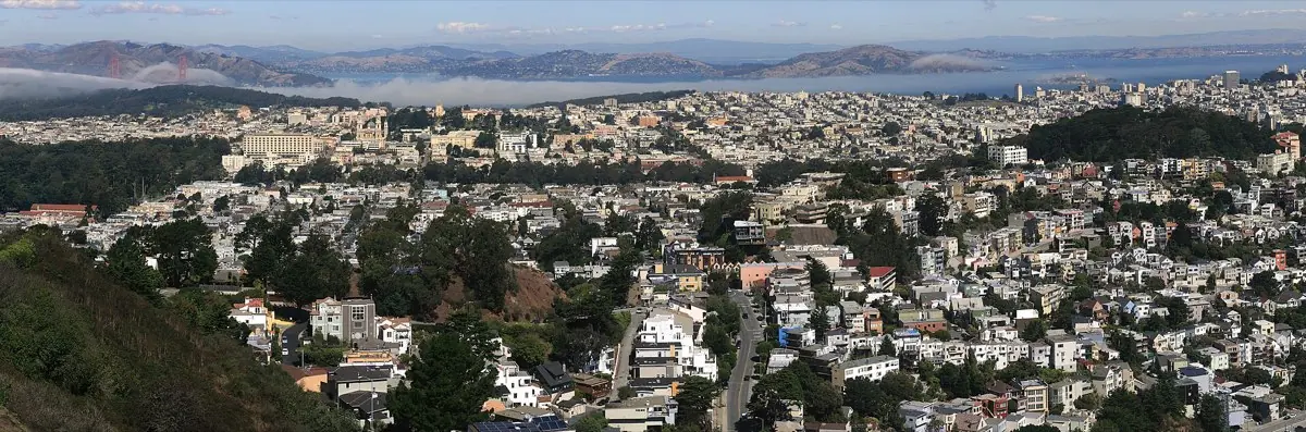
Twin hilltop summits with a 360-degree lookout over the entire city and bay.
 Private Tours Popular Pick
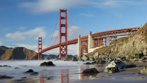
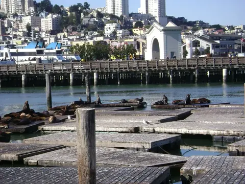
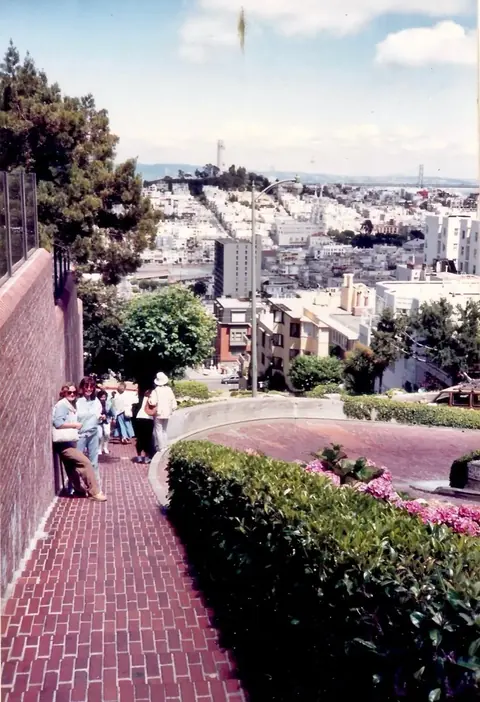
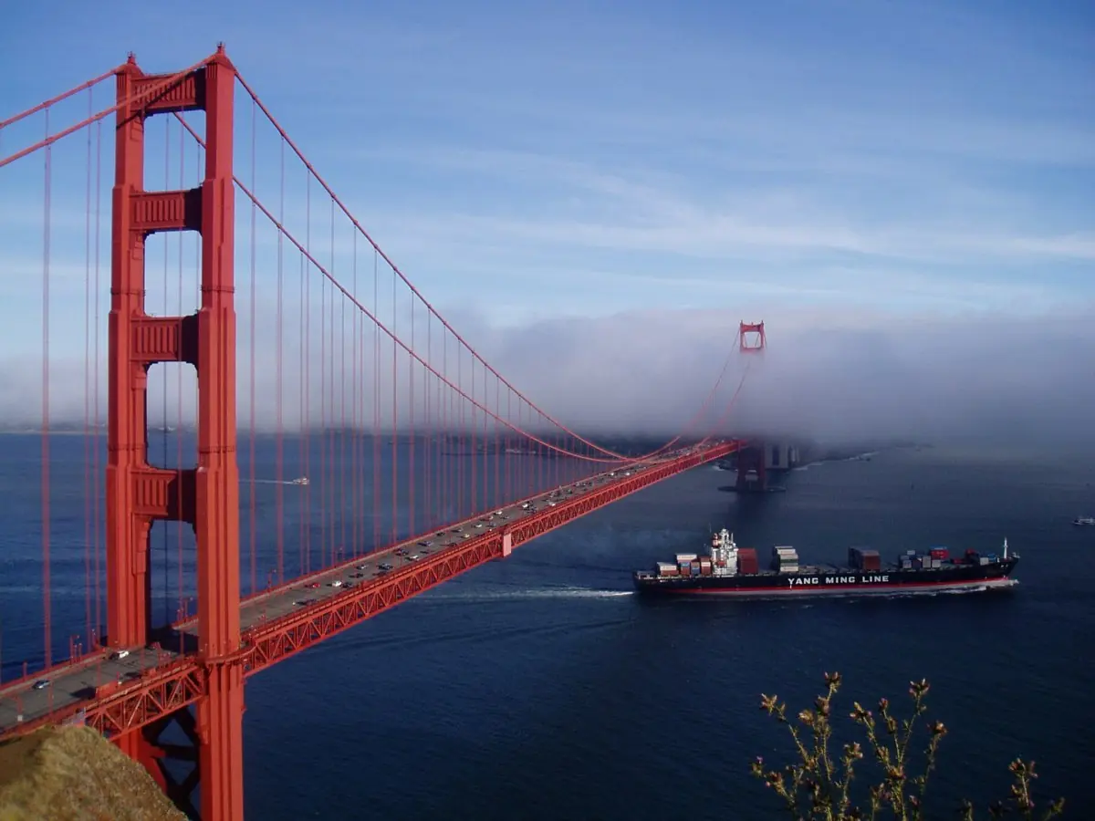
A private, fully customizable tour of San Francisco — the Golden Gate Bridge, Fisherman's Wharf, and the city's famously hilly neighborhoods — with a dedicated local guide.
 Private Tours
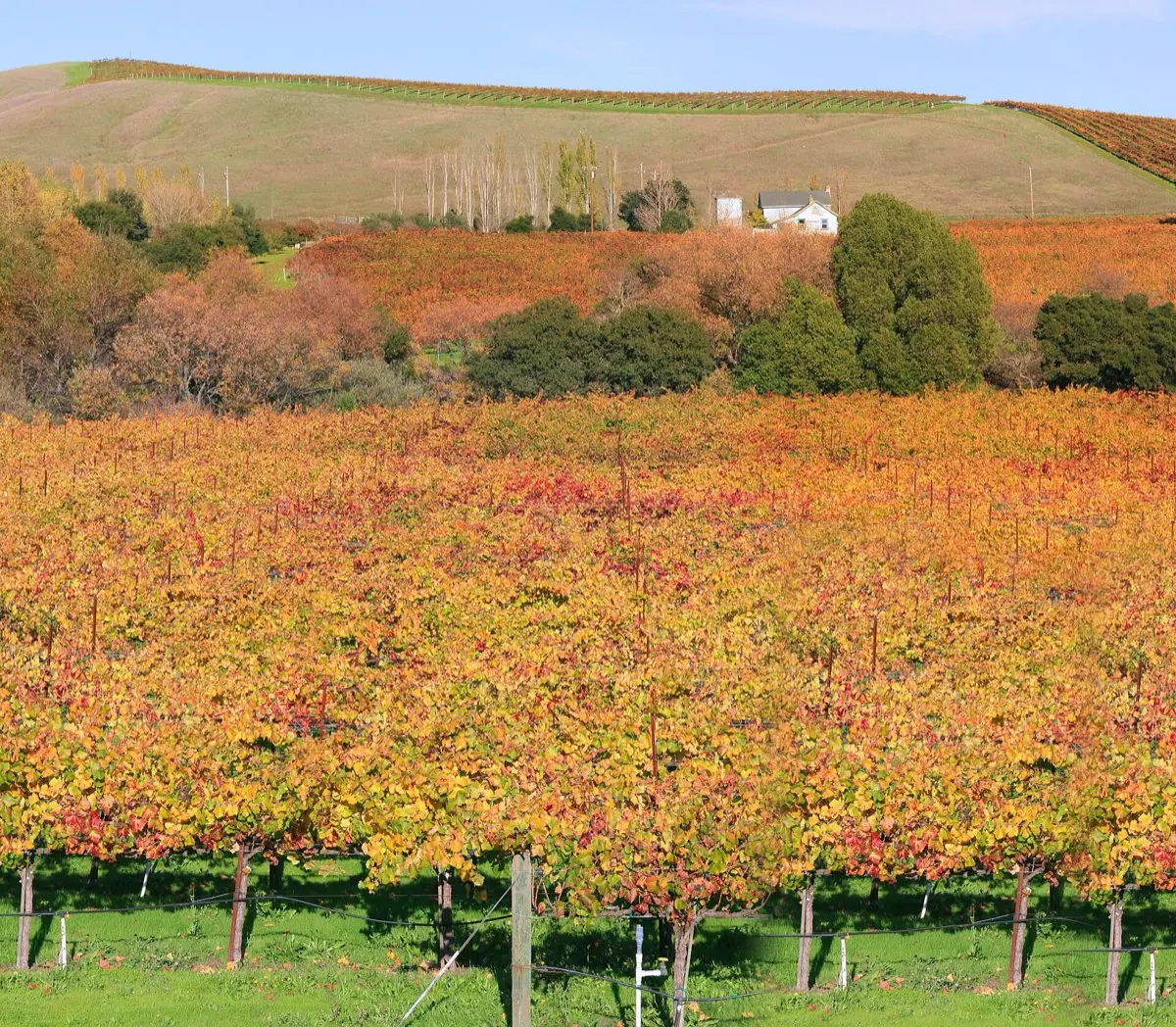
A private day trip from San Francisco into Napa and Sonoma wine country — visit boutique wineries at your own pace, with a driver who knows the region.
 Private Tours
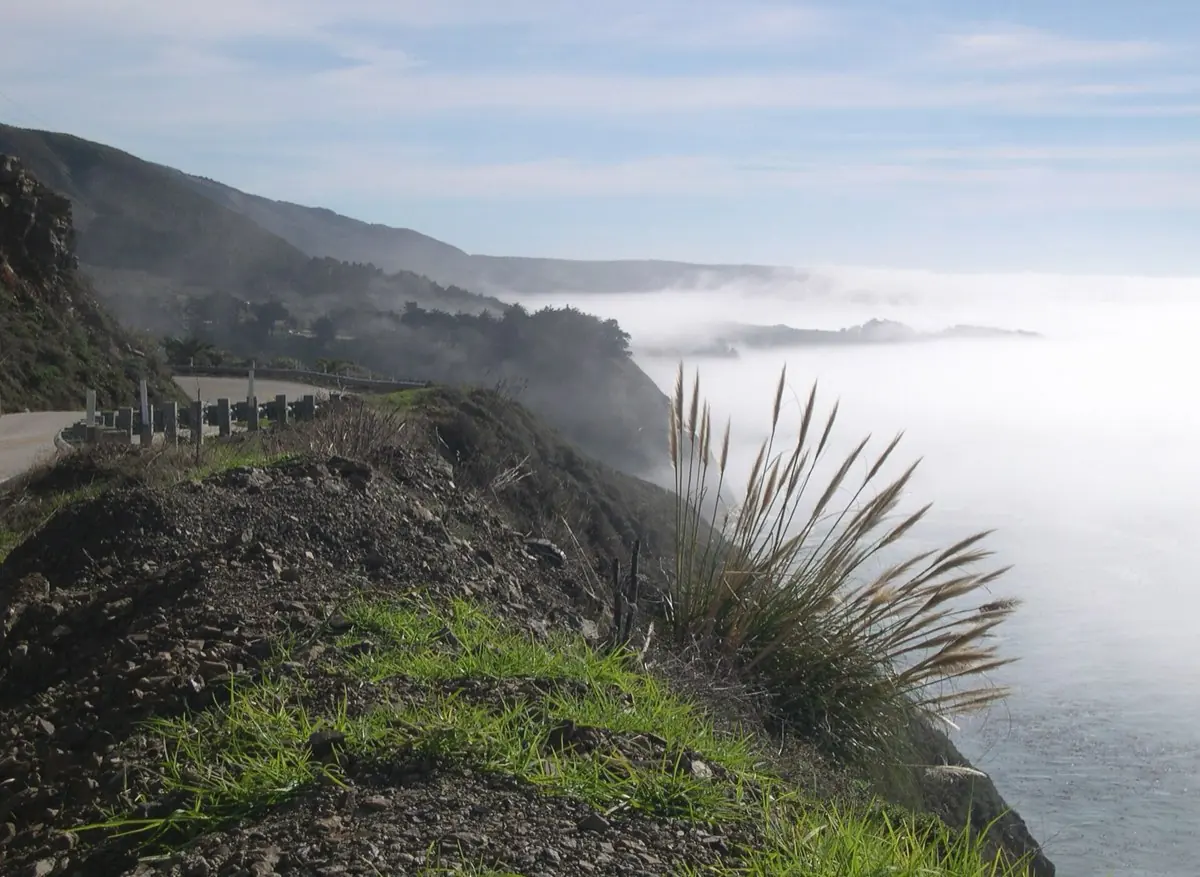
A private day trip from San Francisco down the California coast — Carmel-by-the-Sea, Monterey, and the cliffs of Big Sur along Highway 1.
Visitor guide
Twin Peaks is a pair of grassy summits near the geographic center of San Francisco, each rising to roughly 925 feet. They are the city's second- and third-highest natural points, a little below Mount Davidson (928 feet), and the open, treeless tops give some of the widest views of the city and bay.
The north and south summits, historically called Eureka and Noe, stand about 660 feet apart. Both are just over 900 feet high. Because they sit in the middle of the peninsula, they influence local weather, and the hills have occasionally been dusted with snow; a rare fall of several inches is recorded for February 5, 1976. Beneath the hills runs the Twin Peaks Tunnel used by Muni Metro, linking downtown with the West Portal area.
Before European settlement the Ohlone are believed to have used the hills as a lookout and hunting area, though the details are thinly documented. Spanish-era settlers are said to have called them Los Pechos de la Choca (sometimes written la Chola), which San Francisco Recreation and Parks translates as Breasts of the Maiden, and used the land for ranching. The English name Twin Peaks came into use after the American takeover of San Francisco in the nineteenth century.
The summit lands are part of the Twin Peaks Natural Area, owned and managed by the San Francisco Recreation and Parks Department. San Francisco Recreation and Parks describes it as a 64-acre park, though some older published figures are smaller, roughly 31 to 34 acres. It is one of the few places in the city where the endangered Mission blue butterfly survives. The butterfly, listed as federally endangered in 1976, depends on lupine as its host plant, and the loss of that lupine contributed to its disappearance from San Francisco. Since 2009 Recreation and Parks has worked on habitat restoration and translocation here; the department reported an estimated 128 females in 2023 and called it a positive recovery trend. The department asks visitors to stay on designated trails and keep dogs leashed.
Twin Peaks Boulevard loops around the hills, and a viewing area known as Christmas Tree Point sits about 70 feet below the north peak. From the overlooks you can look over downtown, Market Street, the East Bay and the bay itself, and on very clear days far beyond. The road layout has been changed in recent years to give more space to people on foot and bicycle, so check San Francisco Municipal Transportation Agency and Recreation and Parks notices for current road and parking arrangements.
Twin Peaks is a short drive from the Castro, Haight-Ashbury and Golden Gate Park, so it fits easily into a city loop that also takes in Painted Ladies, Lombard Street or the Golden Gate Bridge.
See every tour and attraction we cover in San Francisco.