TorontoOntario · 36 tours
 Niagara FallsOntario · 25 tours
 New York CityNew York · 30 tours
 Las VegasNevada · 8 tours
 San FranciscoCalifornia · 16 tours
 VancouverBritish Columbia · 17 tours
 DubaiUAE · 54 tours
 Abu DhabiUAE · 5 tours
 Buenos AiresArgentina · 23 tours
 AthensGreece · 31 tours
 AucklandNew Zealand · 38 tours
 CancunMexico · 54 tours
No destinations match “”. Try searching all tours instead — that search understands full questions, not just place names.
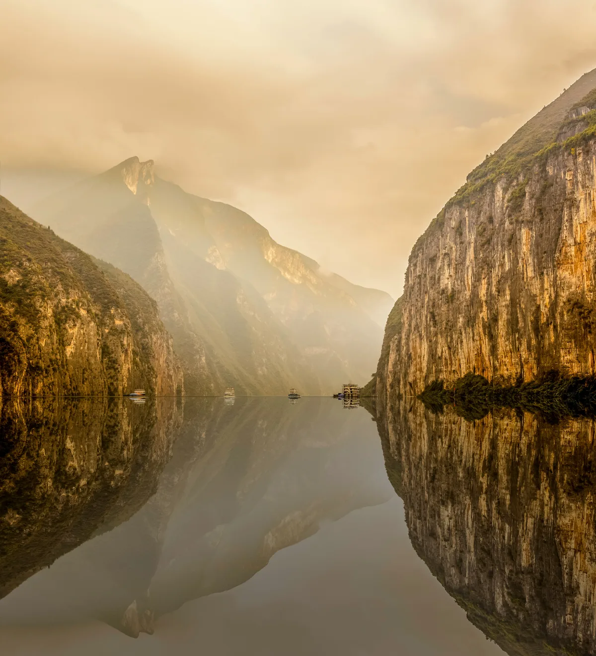
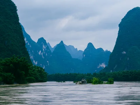
Asia's longest river cuts through three dramatic limestone gorges between Chongqing and Yichang, most commonly seen on a multi-day river cruise past cliffside towns and the Three Gorges Dam.
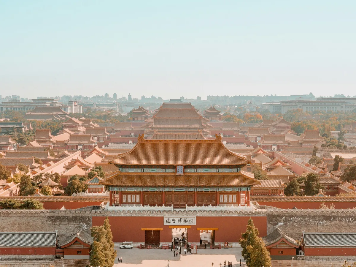 Multi-Day Tours Popular Pick
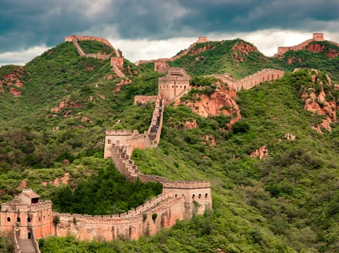
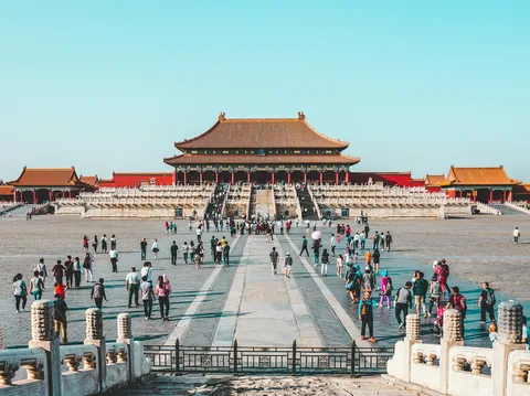
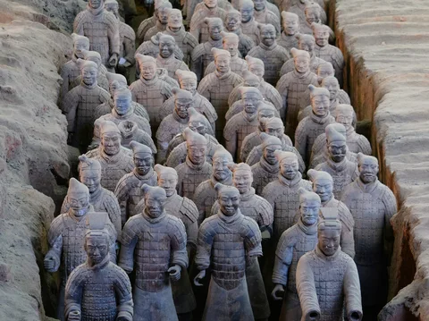
A 12-day classic across Beijing, Xi'an and Shanghai — the Great Wall, the Terracotta Warriors, a Yangtze River cruise and Shanghai's skyline, all with your own driver-guide.
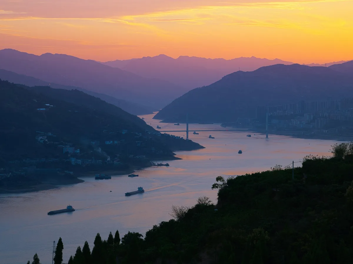 Multi-Day Tours
Beijing, Xi'an and Chengdu's icons, the Leshan Giant Buddha, a Yangtze River cruise through the Three Gorges, and a finish in Shanghai.
Visitor guide
The Three Gorges are three adjacent gorges on the middle reaches of the Yangtze River in central China, known for their steep cliffs and scenery. Together they span about 193 miles, or 311 kilometres, from Baidicheng in Chongqing in the west to Nanjin Pass at Yichang in Hubei in the east, and they are usually seen on a river cruise.
According to Wikipedia, Qutang Gorge is about 8 kilometres long and runs from Baidicheng at Fengjie to Daxi. Its western entrance is the renowned Kuimen, and the cliffs on both sides are described as if cut by knives or axes. Wu Gorge is about 45 kilometres long, running from Wushan to Guandukou, and is lined by the Wu Mountains, among them Fairy Peak, which folk tradition links to a fairy who helped Yu the Great control the floods. Xiling Gorge is about 66 kilometres long, the longest of the three, running from Zigui to Nanjin Pass, and includes smaller gorges such as Military Book and Sword Gorge, Yellow Cow Gorge and Lantern's Shadow Gorge.
The gorges were carved by the Yangtze after the surrounding crust rose. Narrow valleys form where limestone resists erosion, while softer sandstone and shale produce wider valleys.
The Northern Wei scholar Li Daoyuan described the gorges in his Commentary on the Water Classic, writing that the cliffs blocked most of the sunlight so that the sun was visible only at noon. Li Bai's poem Setting Out from Baidicheng evokes the scene, with monkeys howling along the banks as the boat passes countless peaks. Shipbuilding advances in the Tang and Song dynasties allowed regular transport through the gorges, but traffic stayed light until Sichuan was resettled in the 1600s. By the late 1700s large volumes of grain moved downstream, and cargo was towed upstream by hand. Passage was hazardous, and workers carved navigation markers and towpaths and removed rocks. Manual towing persisted in some places until the 1970s.
Sun Yat-sen proposed damming the gorges in 1919. The project was debated for decades, and in 1992 the National People's Congress approved it with 67.11 percent of the votes. The dam stands at Sandouping, Yichang, in the middle of Xiling Gorge. The reservoir reached its initial level in 2006, and main construction was finished by the end of 2008, with full operation of the underground power plant reported in 2012 and a ship lift reportedly completed in 2015.
The dam raised water levels, making the river wider and the mountains appear lower, though the gorges still offer dramatic cliff views. It caused major ecological change and the relocation of many towns and villages. Larger ships can now navigate the river, and river cruise demand has grown.
Rising water threatened several cultural sites. The Baiheliang hydrographic mark, dating to 763 in the Tang dynasty, carries an inscription of nearly 30,000 characters and 18 carved carp used to record water levels, and it is now protected in the Baiheliang Underwater Museum. The Shibaozhai buildings were protected by a dam built around them, and Zhang Fei Temple was relocated in its entirety. Many other relics, including hanging coffins and stone inscriptions, could not be protected and were submerged.
Most visitors see the gorges from the water, typically on a multi-day cruise between Chongqing and Yichang. A private tour can be arranged to connect the cruise with transfers and sightseeing on land at either end.
See every tour and attraction we cover in China.