TorontoOntario · 36 tours
 Niagara FallsOntario · 25 tours
 New York CityNew York · 30 tours
 Las VegasNevada · 8 tours
 San FranciscoCalifornia · 16 tours
 VancouverBritish Columbia · 17 tours
 DubaiUAE · 54 tours
 Abu DhabiUAE · 5 tours
 Buenos AiresArgentina · 23 tours
 AthensGreece · 31 tours
 AucklandNew Zealand · 38 tours
 CancunMexico · 54 tours
No destinations match “”. Try searching all tours instead — that search understands full questions, not just place names.
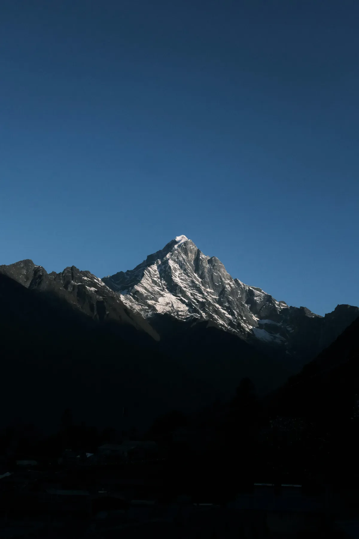
The Sherpa heartland of Namche Bazaar, Tengboche Monastery, and Everest Base Camp itself, reached by mountain flight into Lukla.
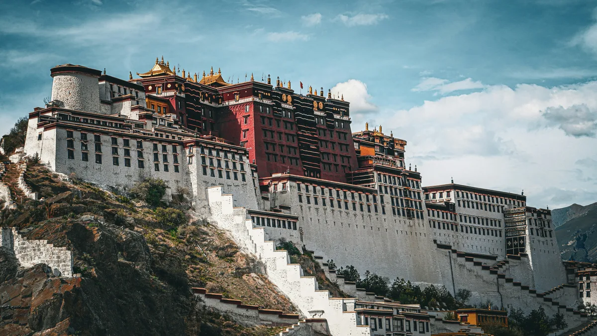 Multi-Day Tours
A 22-day journey across three Himalayan nations — nine nights in Nepal's Kathmandu, Chitwan and Pokhara, seven nights in Tibet including Everest Base Camp, and five nights in Bhutan's Thimphu, Punakha and Paro.
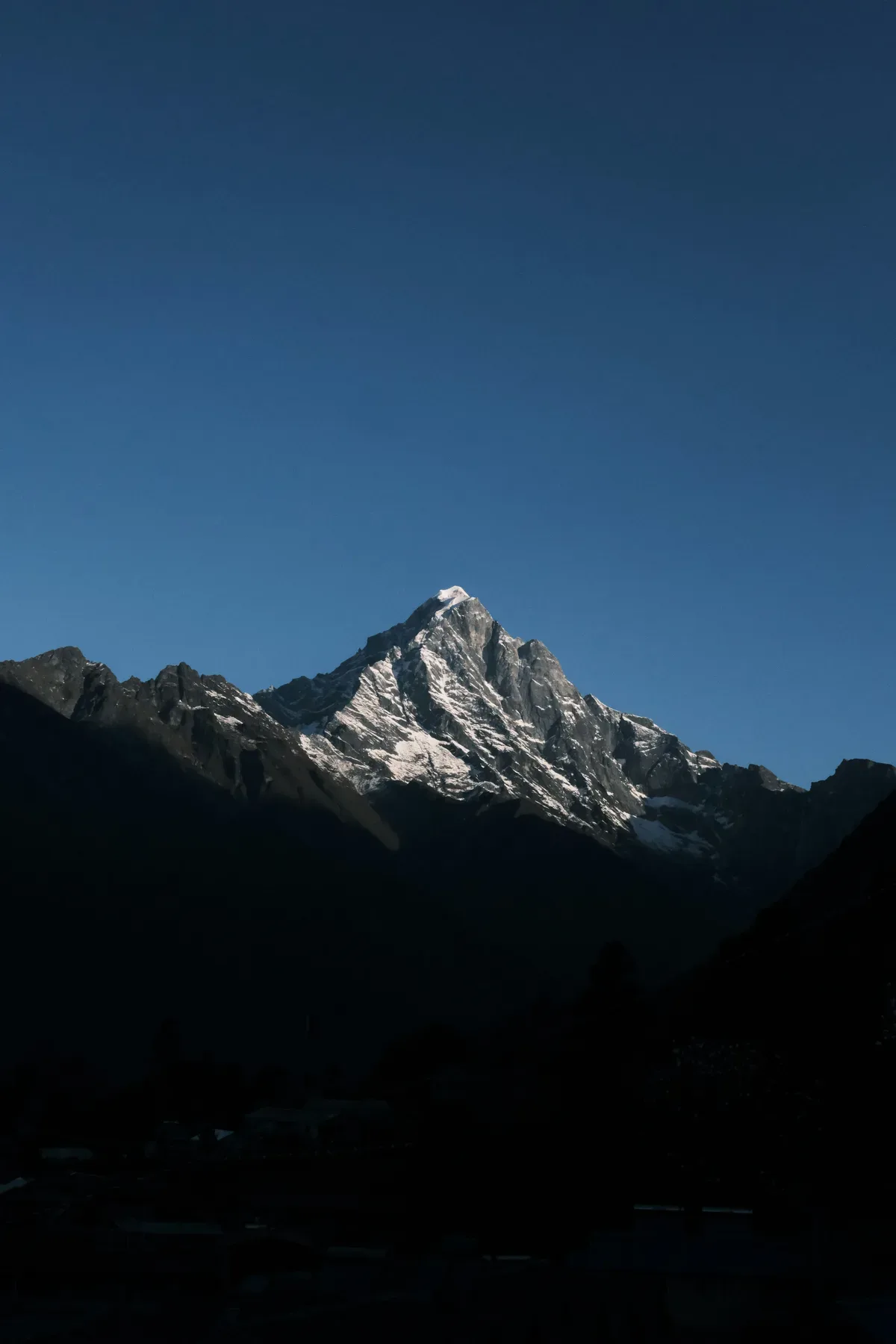 Multi-Day Tours
A 14-day journey to the foot of Everest — a flight into Lukla, Sherpa villages of Namche Bazaar and Tengboche, a sunrise ascent of Kalapatthar, and the trek to Everest Base Camp itself.
Visitor guide
Khumbu, also known as the Everest Region, is a region of northeastern Nepal on the Nepalese side of Mount Everest. It lies in the Solukhumbu District of Koshi Province and is a heartland of Sherpa settlement. Its elevations run from about 3,300 metres up to the 8,848-metre summit of Everest, which Wikipedia describes as the highest place on Earth.
According to Wikipedia, Khumbu is one of three subregions of the main Kirat Rai and Sherpa settlement of the Himalaya, alongside Solu and Pharak. It includes the town of Namche Bazaar and villages such as Thame, Khumjung, Pangboche, Pheriche, Dingboche, Lobuche and Phortse, with Lukla and Phakding at its southern approach. The 2011 census counted 3,456 people in 912 houses, and 347 registered hotels and tea houses were recorded in 13 villages. Sherpa clans of the region include the Salakha, Murminso, Thaktok, Garza and others.
Namche Bazaar sits on the sides of a hill at about 3,440 metres, 137 kilometres northeast of Kathmandu. It is the main trading centre of the area, and most Sherpas working in tourism come from around Namche. Wikipedia says it is popular with trekkers for altitude acclimatisation and is the gateway to the high Himalaya. A weekly market is held in the centre of town on Saturday mornings. The nearest open airport is Tenzing-Hillary Airport at Lukla, 13 kilometres south of Namche, while helicopter flights can reach Namche directly.
Tengboche Monastery, also called Dawa Choling Gompa, is a Tibetan Buddhist monastery of the Sherpa community at about 3,867 metres. It is described as the largest gompa in the Khumbu region. Lama Gulu built it in 1916 with links to Rongbuk Monastery in Tibet, and it is regarded as the first celibate monastery in the Nyingma lineage of Vajrayana Buddhism. An earthquake destroyed it in 1934 and a fire destroyed it again in 1989, and it was rebuilt each time. The setting offers panoramic views of peaks including Everest, Nuptse, Lhotse, Ama Dablam and Thamserku.
Much of Khumbu lies within Sagarmatha National Park, established on 19 July 1976, covering 1,148 square kilometres and ranging from 2,845 metres at Monjo to the summit of Everest. In 1979 it became Nepal's first national park inscribed as a Natural World Heritage Site. The park includes the upper catchments of the Dudh Kosi and Bhotekoshi rivers and the Gokyo Lakes, along with peaks such as Lhotse, Cho Oyu, Nuptse and Ama Dablam. Barren land above 5,000 metres makes up about 69 percent of the park. Forests of fir, Himalayan birch and rhododendron grow in the subalpine belt, and Wikipedia lists 208 bird species, Himalayan tahr, musk deer and, above 3,500 metres, the snow leopard. Tourism in the area began in the early 1960s.
Reaching Khumbu involves mountain flights or helicopter transfers and then days of high-altitude walking, so itineraries are planned around acclimatisation. Voyzo can arrange private transfers and guided travel on the road sections of a Nepal journey, and travellers should discuss the specific routes and altitude needs when planning.
See every tour and attraction we cover in Nepal.