TorontoOntario · 36 tours
 Niagara FallsOntario · 25 tours
 New York CityNew York · 30 tours
 Las VegasNevada · 8 tours
 San FranciscoCalifornia · 16 tours
 VancouverBritish Columbia · 17 tours
 DubaiUAE · 54 tours
 Abu DhabiUAE · 5 tours
 Buenos AiresArgentina · 23 tours
 AthensGreece · 31 tours
 AucklandNew Zealand · 38 tours
 CancunMexico · 54 tours
No destinations match “”. Try searching all tours instead — that search understands full questions, not just place names.
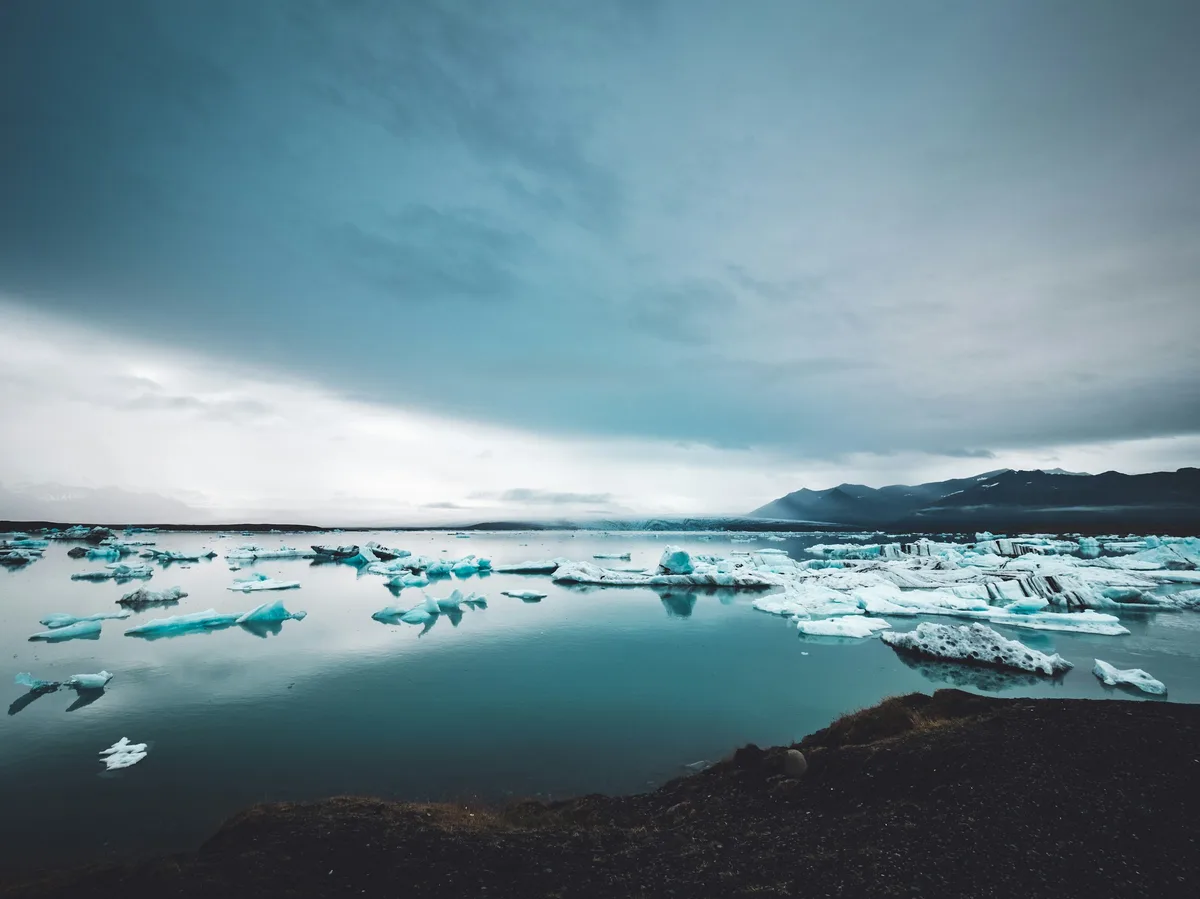
A glacial lagoon on Iceland's southeast coast where icebergs calve from the Breidamerkurjokull glacier and drift slowly out to sea, often washing up on the black sand shore of neighboring Diamond Beach.
 Multi-Day Tours
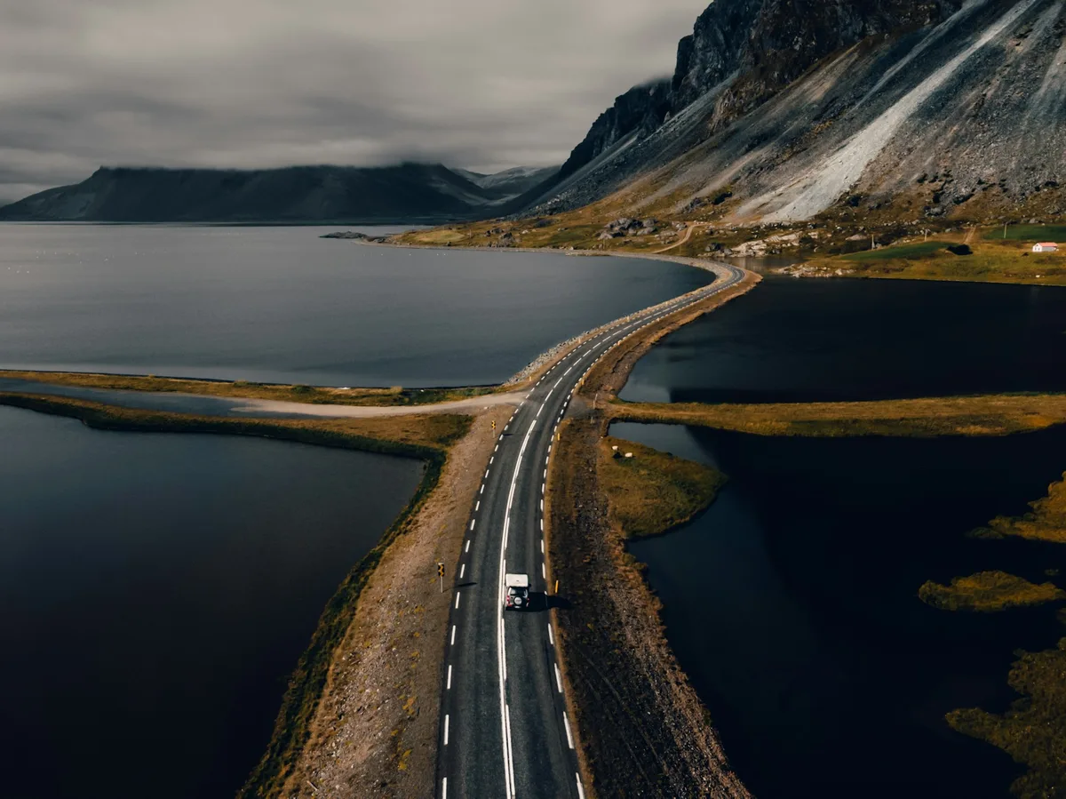
A 7-day circuit from the Golden Circle's geysers and Gullfoss down the South Coast to Jokulsarlon Glacier Lagoon, through the Eastfjords to Lake Myvatn's geothermal fields, and back to Reykjavik via Akureyri.
 Multi-Day Tours
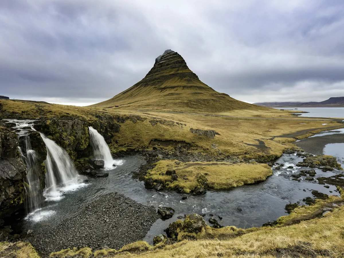
A 10-day loop from the Golden Circle and South Coast to Jokulsarlon, the Eastfjords, Lake Myvatn, Husavik whale-watching, Akureyri, and the Snaefellsnes Peninsula's Kirkjufell Mountain.
 Multi-Day Tours
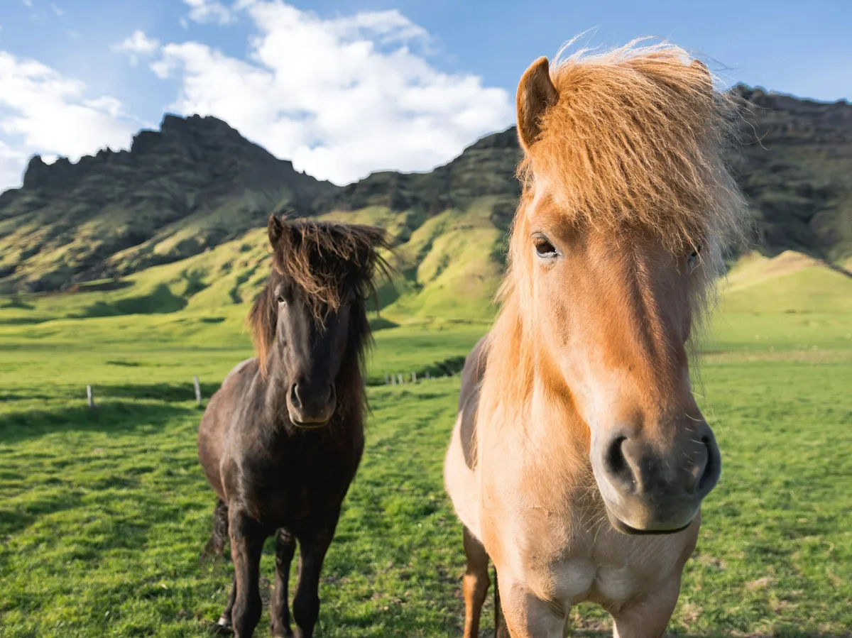
A 14-day full circuit of the Ring Road for Viking-history enthusiasts — Reykjavik's Viking museums, Snaefellsnes saga sites, the Westfjords-adjacent north, Husavik whale-watching, Lake Myvatn's Game of Thrones locations, the Eastfjords, Jokulsarlon, and the Golden Circle.
Visitor guide
Jokulsarlon is a large glacial lake in the southern part of Vatnajokull National Park in southeastern Iceland. It sits at the head of the Breidamerkurjokull outlet glacier, on the Ring Road between Hofn and Skaftafell, and its name translates as glacial river lagoon.
Wikipedia gives the lake a surface area of about 25 square kilometres, a maximum length of 8 km and a maximum depth of 284 m, reported in 2009 as making it the deepest lake in Iceland. Another source cited there says it is more than 350 feet deep, so depth figures vary. The lake lies at sea level. When settlers arrived around AD 870, the glacier edge lay about 20 km farther north. Between roughly 1600 and 1900 the glacier advanced, and warmer temperatures between 1920 and 1965 caused rapid retreat. The lagoon formed around 1934 to 1935 and covered about 8 square kilometres in 1975, since growing roughly fourfold.
Ice blocks calving from the glacier can be about 30 m high. Icebergs drift toward the river mouth, where they may become stuck on the bottom, and tides and wind move them until they are small enough to float out to sea. They look milky white or bright blue depending on the air trapped in the ice, and some are streaked by ash from ancient eruptions. The lagoon drains through a shallow outlet into the Atlantic, and the glacier front is now about 8 km from the sea. Icebergs that reach the ocean sometimes wash up on the black sand beach at Eystri-Fellsfjara, popularly called Diamond Beach.
The glacier created a wide outwash plain called Breidamerkursandur, roughly 25 km across, which is a summer bird habitat. Tides carry fish such as herring, capelin and salmon into the lagoon, and common seals gather at the mouth in winter and rest on icebergs. Arctic terns nest nearby, and Arctic skuas nest along the shores in summer.
In 2017 the Icelandic state bought the farm Fell, which includes Jokulsarlon, and the area was protected as part of Vatnajokull National Park, which became a UNESCO World Heritage Site on 5 July 2019. The lagoon has appeared in films including A View to a Kill (1985), Lara Croft: Tomb Raider (2001), Die Another Day (2002) and Batman Begins (2005). Boat tours there began in 1985.
The Glacial River Bridge carries the Ring Road across the lagoon outlet. To protect its pillars from erosion and from icebergs, engineers placed stone boulders to deflect ice. Wikipedia notes that continued retreat of the glacier could eventually create a deep fjord here. The glacier is described as retreating about 200 m per year, and as the ice melts the land rises about 2 to 4 cm a year, partly offsetting coastal erosion.
The lagoon is next to the Ring Road, so it is often a stop on a South Coast journey. A private guided visit with a driver suits the long distances on that route.
See every tour and attraction we cover in Iceland.