TorontoOntario · 36 tours
 Niagara FallsOntario · 25 tours
 New York CityNew York · 30 tours
 Las VegasNevada · 8 tours
 San FranciscoCalifornia · 16 tours
 VancouverBritish Columbia · 17 tours
 DubaiUAE · 54 tours
 Abu DhabiUAE · 5 tours
 Buenos AiresArgentina · 23 tours
 AthensGreece · 31 tours
 AucklandNew Zealand · 38 tours
 CancunMexico · 54 tours
No destinations match “”. Try searching all tours instead — that search understands full questions, not just place names.
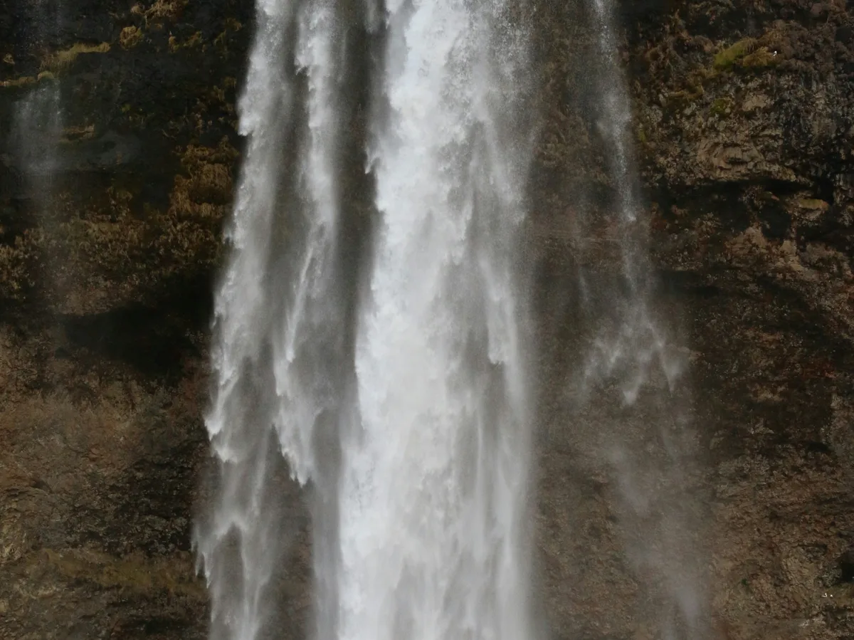
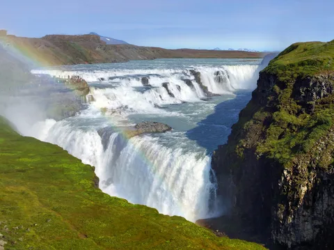
A 60-meter waterfall on Iceland's South Coast, notable for the path that runs behind the falling water, letting visitors walk in a full circle around the cascade — one of the most photographed stops on the Ring Road.
 Multi-Day Tours
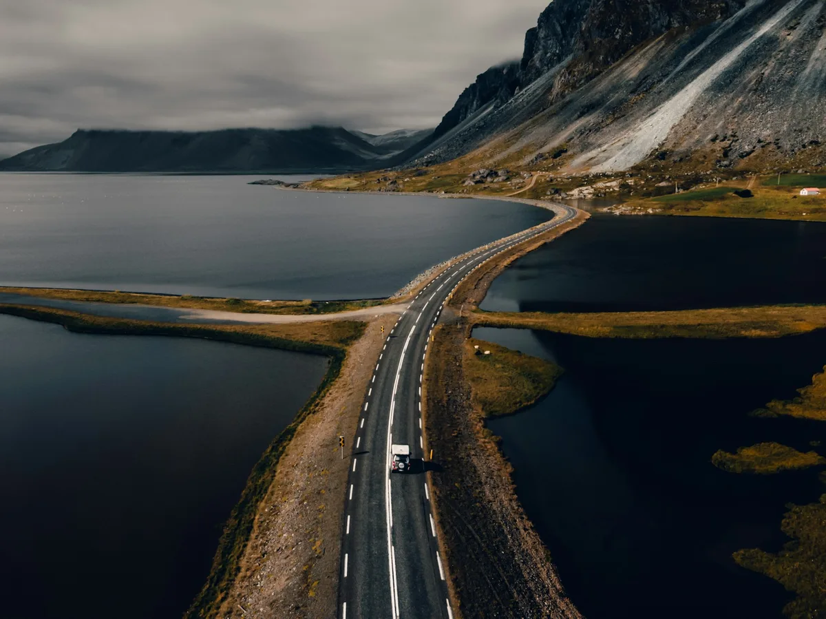
A 7-day circuit from the Golden Circle's geysers and Gullfoss down the South Coast to Jokulsarlon Glacier Lagoon, through the Eastfjords to Lake Myvatn's geothermal fields, and back to Reykjavik via Akureyri.
 Multi-Day Tours
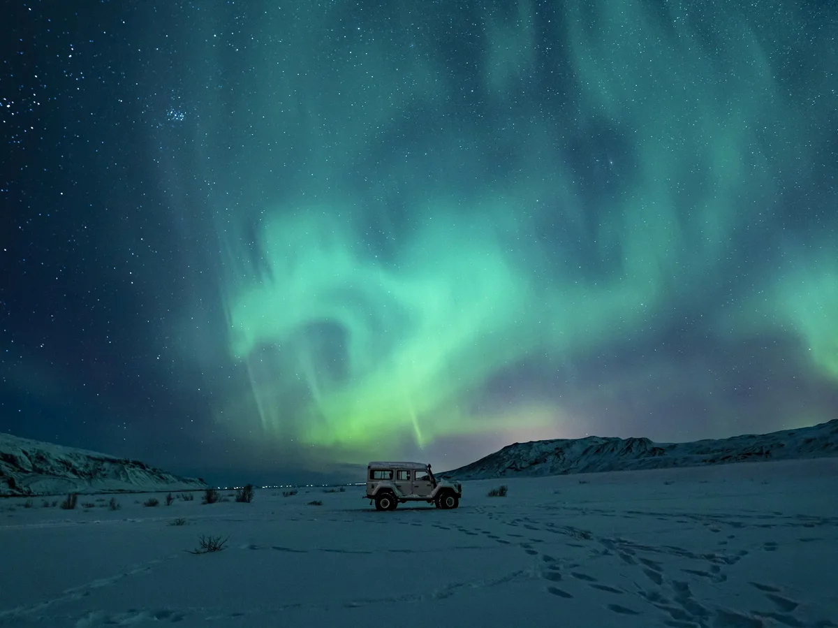
A 7-day winter trip starting with a Reykjavik Northern Lights boat tour, then the Golden Circle, glacier walks and ice caves near Jokulsarlon, and a return along the South Coast's waterfalls.
 Multi-Day Tours
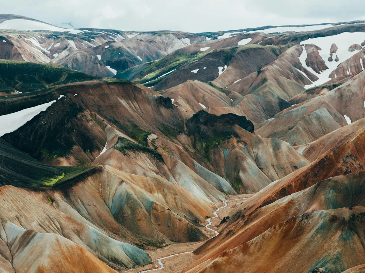
An 8-day hiking-focused route from the Golden Circle to the rhyolite mountains of Landmannalaugar, the South Coast's waterfalls and glaciers, and the birch-forested valley of Thorsmork, finishing with the Reykjanes Peninsula.
Visitor guide
Seljalandsfoss is a waterfall in Iceland's Southern Region, close to the Ring Road and the road to Thorsmork. It is part of the Seljalandsa river, which begins at the Eyjafjallajokull glacier, and Wikipedia gives its height as 60 m in a single drop. Other sources give figures between about 60 and 66 m.
The falls pour over a cliff that was once a coastline. Geological accounts explain that sea level was much higher during and after the end of the last Ice Age, and since then land has built up so that the former sea cliffs now lie far inland. A pool has formed beneath the falls where sea char and sea trout can be seen, according to one travel source. The river itself rises on the western side of the Eyjafjoll range.
Seljalandsfoss is best known for a path that leads behind the falling water into a small cave, which Wikipedia describes as letting visitors walk behind the falls. The path can be wet and slippery because of the spray, and conditions change with the season and flow. Light and rainbows can add to the scene, especially when the sun is low.
A short walk north is Gljufrabui, also spelled Gljufurarfoss, whose name roughly means gorge dweller. It tumbles from the Gljufura river into a narrow gorge and is largely hidden from view. Its source lies just north of the Trollagil canyon, and it is spring-fed and less voluminous than Seljalandsa. The two falls have contrasting characters, one open to the road and the other tucked behind rock.
The mountain above is the Eyjafjallajokull volcano, whose summit reaches 1,651 m. Its ice cap covered 66 square kilometres in 2019, and its eruption in 2010 began on 20 March at Fimmvorduhals and was followed by an explosive summit eruption on 14 April that disrupted air travel across northwestern Europe for six days, from 15 to 21 April. The route past the falls leads on toward Thorsmork, a mountain ridge named after the Norse god Thor, between the glaciers Tindfjallajokull and Eyjafjallajokull. Beyond the falls, the road becomes a rugged mountain track, passable only to suitable 4x4 vehicles.
Seljalandsfoss was a waypoint in the sixth season of The Amazing Race and features in the 1990 film The Juniper Tree, in which Bjork's character walks behind the waterfall. It also appears in a Justin Bieber video and in a season of Star Trek: Discovery.
Seljalandsfoss is reached via the farm of Seljaland, between the town of Selfoss and the waterfall Skogafoss. Wikipedia records that in May 2017 plans for an 8 m high information centre near the falls drew opposition from critics who said it would spoil the view. Past the falls, the road toward Thorsmork quickly gives way to a track that guides describe as among the most challenging mountain roads in Iceland, which is why many visitors treat the falls as a stop in their own right.
The falls are right beside the road, so they work well as a stop on a South Coast day. A private guided visit with a driver suits a day that continues to Skogafoss.
See every tour and attraction we cover in Iceland.