TorontoOntario · 36 tours
 Niagara FallsOntario · 25 tours
 New York CityNew York · 30 tours
 Las VegasNevada · 8 tours
 San FranciscoCalifornia · 16 tours
 VancouverBritish Columbia · 17 tours
 DubaiUAE · 54 tours
 Abu DhabiUAE · 5 tours
 Buenos AiresArgentina · 23 tours
 AthensGreece · 31 tours
 AucklandNew Zealand · 38 tours
 CancunMexico · 54 tours
No destinations match “”. Try searching all tours instead — that search understands full questions, not just place names.
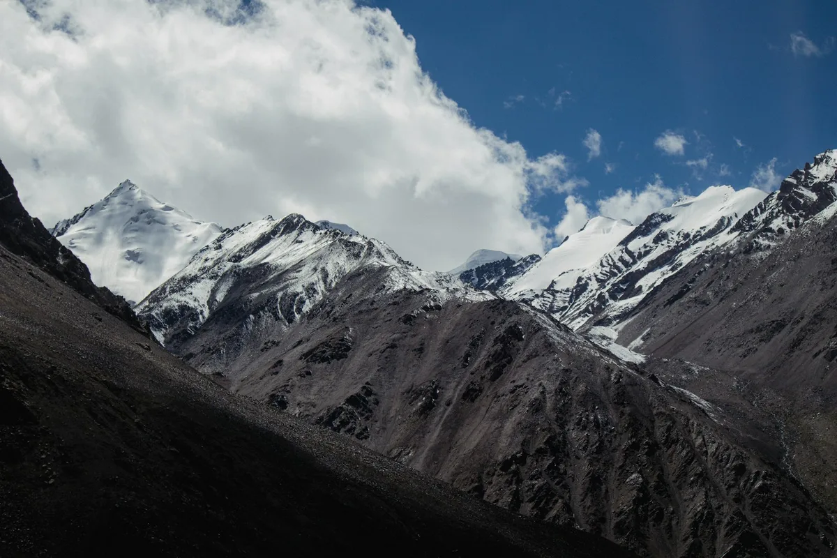
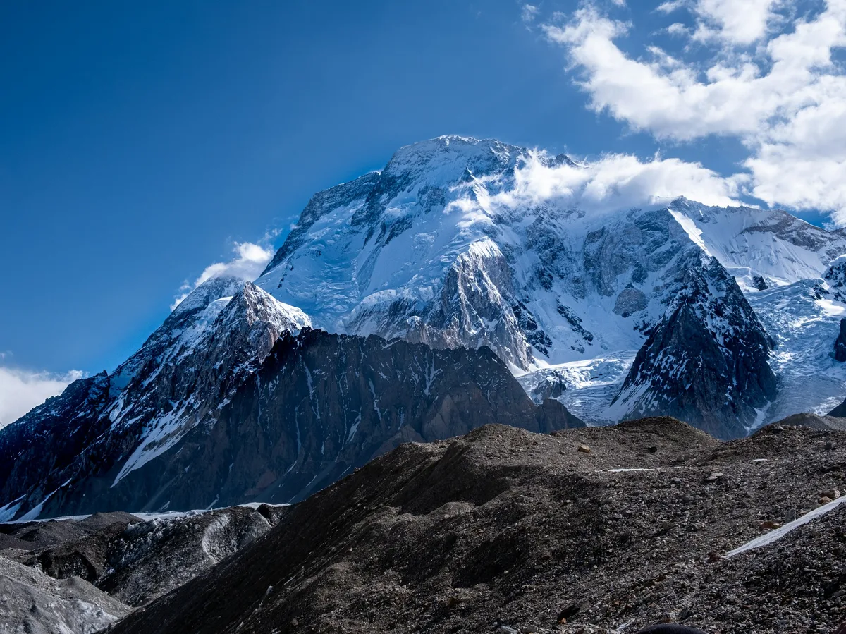
The trek to K2 Base Camp crosses the Baltoro Glacier past Concordia, where four of the world's fourteen 8,000m peaks come into view — one of the most remote treks in the world.
Visitor guide
The K2 Base Camp trek is a multi-day trek in the Karakoram of Gilgit-Baltistan, Pakistan, that follows the Baltoro Glacier to Concordia and on to the base of K2. K2, at 8,611 metres, is the second-highest mountain on Earth.
According to Wikipedia, K2 straddles Pakistan and China. Thomas Montgomerie surveyed the Karakoram in 1856 and labelled two prominent peaks K1 and K2, with K standing for Karakoram. Because K2 had no known local name, the survey mark stuck. The first ascent took place on 31 July 1954 by Achille Compagnoni and Lino Lacedelli on an Italian expedition led by Ardito Desio, and the first winter ascent was in January 2021 by a team of Nepalese climbers. The nickname Savage Mountain is attributed to George Bell of the 1953 American expedition.
Wikipedia adds that the name Chogori, from Balti words for big and mountain, has been suggested as a local name, but evidence for its use is scant, and that the name Mount Godwin-Austen was proposed but rejected by the Royal Geographical Society. A 2014 satellite measurement gave a height of about 8,609 metres, so quoted heights differ slightly. The same article records that Martin Conway's 1892 expedition reached Concordia on the Baltoro Glacier, one of the earliest Western visits to the area.
The trek follows the Baltoro Glacier in Shigar District, which Wikipedia describes as about 63 km long and 1,500 square kilometres in area. Its name, from Balti, is given as bone breaker. The glacier is fed by tributaries including the Godwin-Austen Glacier from K2, the Abruzzi and Gasherbrum Glaciers and others. Concordia, the junction of the Baltoro and Godwin-Austen Glaciers at about 4,600 metres, is a renowned trekking destination.
Several giants rise nearby. Besides K2, Wikipedia lists Broad Peak (8,047 metres), Gasherbrum I (8,080 metres), Gasherbrum II (8,035 metres) and Masherbrum (7,821 metres), plus the Trango Towers, whose vertical faces the article describes as among the tallest cliffs in the world. Three other summits above 8,000 metres lie within 20 km of K2.
Wikivoyage describes a trek of about 10 to 16 days, covering roughly 180 km return in Central Karakoram National Park, usually starting from Skardu. The journey runs by jeep to Askole, the last village, and then on foot through camps including Jhola, Paiju, Urdukas and Goro to Concordia, with approximate altitudes of 3,050 metres at Askole, 3,990 metres at Urdukas, and 4,620 metres at Concordia. Broad Peak base camp is listed near 4,800 metres, and K2 base camp near 5,000 metres.
Operators generally recommend summer, with July and August the usual window. Wikivoyage notes that foreigners cannot hike independently and must be accompanied by an approved guide, and a trekking visa arranged through an approved company is required. Some groups return via the Gondogoro Pass at about 5,585 metres to Hushe.
Wikipedia notes that increased tourism has put pressure on the glacier environment, with littering and sanitation problems along the route. A private tour with a driver suits the road legs between Islamabad, Skardu and Askole, while the trek itself is arranged with an approved guide.
See every tour and attraction we cover in Pakistan.