TorontoOntario · 36 tours
 Niagara FallsOntario · 25 tours
 New York CityNew York · 30 tours
 Las VegasNevada · 8 tours
 San FranciscoCalifornia · 16 tours
 VancouverBritish Columbia · 17 tours
 DubaiUAE · 54 tours
 Abu DhabiUAE · 5 tours
 Buenos AiresArgentina · 23 tours
 AthensGreece · 31 tours
 AucklandNew Zealand · 38 tours
 CancunMexico · 54 tours
No destinations match “”. Try searching all tours instead — that search understands full questions, not just place names.
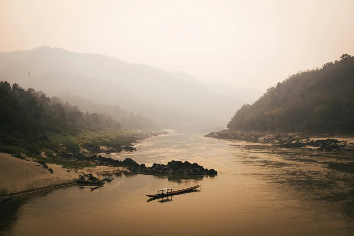
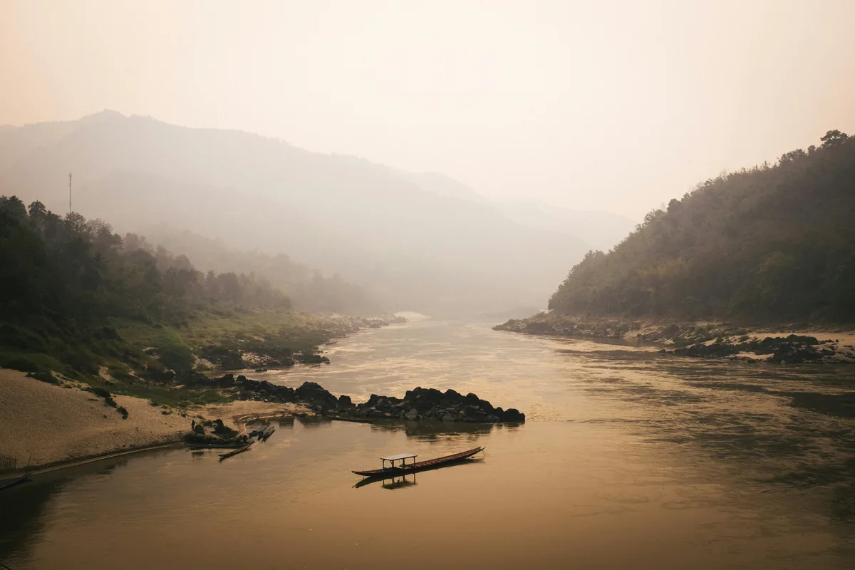
The wide, slow river that threads the length of Laos, traveled by longtail and slow boat past riverside villages, the gold-lacquered Buddha caves of Pak Ou, and misty mountain scenery near Pakbeng.
 Multi-Day Tours
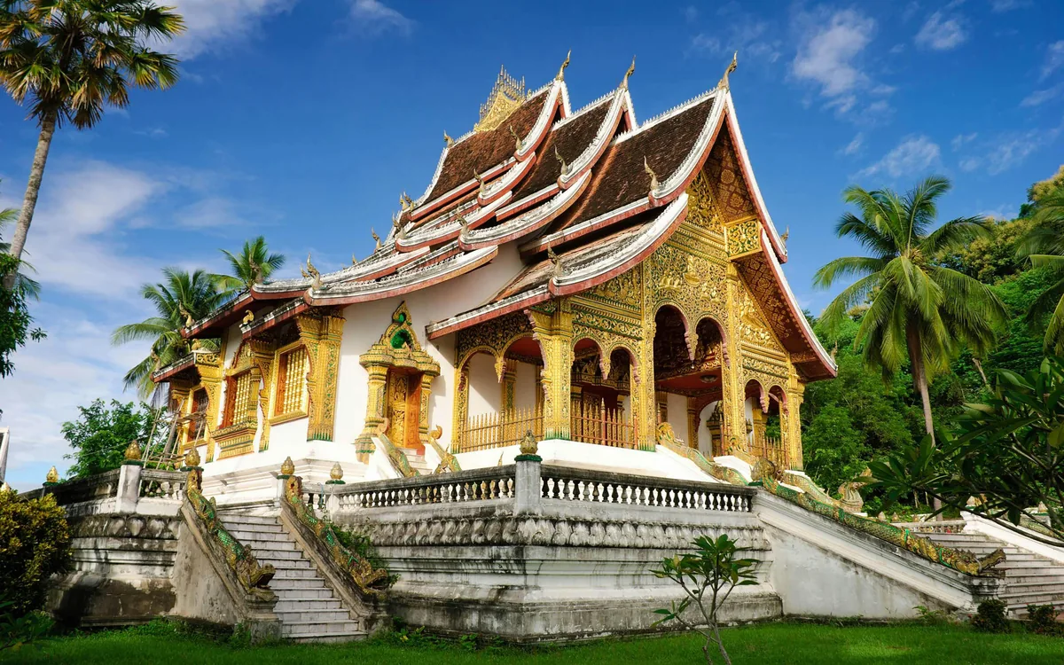
A 14-day photography-focused journey through Luang Prabang and deep into the mountains of Phongsaly province, working alongside a professional Lao photography guide to capture temple life, the Mekong River, and homestays with the Akha, Hmong, and Phounoy hill tribes.
 Multi-Day Tours
An 18-day in-depth journey through Laos — a two-day Mekong River cruise into Luang Prabang, jungle wildlife tracking in Nam Et-Phou Louey National Park, the Plain of Jars, Vientiane, and a coffee-country finish across the Bolaven Plateau to the 4,000 Islands.
 Multi-Day Tours
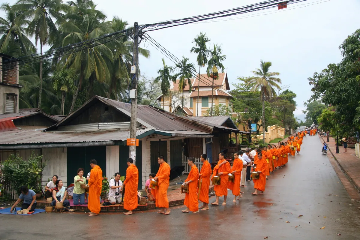
A 5-day introduction to Luang Prabang — the dawn alms ceremony, the National Museum and Wat Xieng Thong, a Lao cooking class, a scenic Mekong boat ride to the Pak Ou Caves, and a day at Kuang Si Waterfall.
Visitor guide
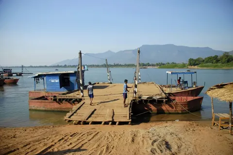
The Mekong is the great river that runs through Laos, forming much of the country's western border and linking the royal town of Luang Prabang with the southern islands of Si Phan Don. In northern Laos it is travelled by longtail and slow boat past riverside villages, forested hills and the Buddha caves at Pak Ou.
Wikipedia describes the Mekong as a transboundary river of East and Southeast Asia, ranked twelfth-longest in the world and third-longest in Asia. Its length is estimated at about 4,909 kilometres, though the infobox gives 4,350, so figures vary by source. It rises on the Tibetan Plateau, flows through China, where it is called the Lancang, then through Myanmar, Laos, Thailand, Cambodia and Vietnam. A name sometimes linked to it, Lan Xang, is also that of the historic Lao kingdom.
The river forms roughly 920 kilometres of the border between Laos and Thailand and passes the capital Vientiane and the southern city of Pakse. Wikipedia notes that the stretch between Chiang Saen and Vientiane is largely mountainous and forested, and that its hydrology is among the most natural in the lower basin.
Luang Prabang stands where the Nam Khan joins the Mekong, and boats leave from the riverbank for the Pak Ou Caves, which lie roughly 25 kilometres north at the mouth of the Nam Ou. The two caves, Tham Ting (lower) and Tham Theung (upper), face the river and hold hundreds of small wooden Buddha figures, many damaged, arranged on shelves in poses including meditation, teaching, walking and reclining.
Slow boats on the upper Mekong have long linked northern Laos with the Thai border, and travel writers often mention the overnight stop at the small town of Pakbeng. Mist rising off the water in the early morning is a common feature of this stretch in the cooler months.
Wikipedia reports that the Mekong basin is among the most biodiverse regions on Earth, with about 850 freshwater fish species recorded and one of the world's largest inland fisheries. Large species include the Mekong giant catfish, which can reach about three metres. An estimated 40 million rural people depend on wild fisheries in some way, and fish are a major source of protein in the region.
The Irrawaddy dolphin was once common in the lower Mekong, but Wikipedia says only a small remnant population remains. The river has also been affected by dams: as of early 2024 the article counted 371 dams in the basin, including hydropower plants in Laos, and links dam building with changes to fish stocks and flow.
A river day can be built into a private tour around Luang Prabang with a driver handling transfers to and from the pier. Boat types, durations and routes differ between operators and seasons, so details are best confirmed when planning.
See every tour and attraction we cover in Laos.