TorontoOntario · 36 tours
 Niagara FallsOntario · 25 tours
 New York CityNew York · 30 tours
 Las VegasNevada · 8 tours
 San FranciscoCalifornia · 16 tours
 VancouverBritish Columbia · 17 tours
 DubaiUAE · 54 tours
 Abu DhabiUAE · 5 tours
 Buenos AiresArgentina · 23 tours
 AthensGreece · 31 tours
 AucklandNew Zealand · 38 tours
 CancunMexico · 54 tours
No destinations match “”. Try searching all tours instead — that search understands full questions, not just place names.
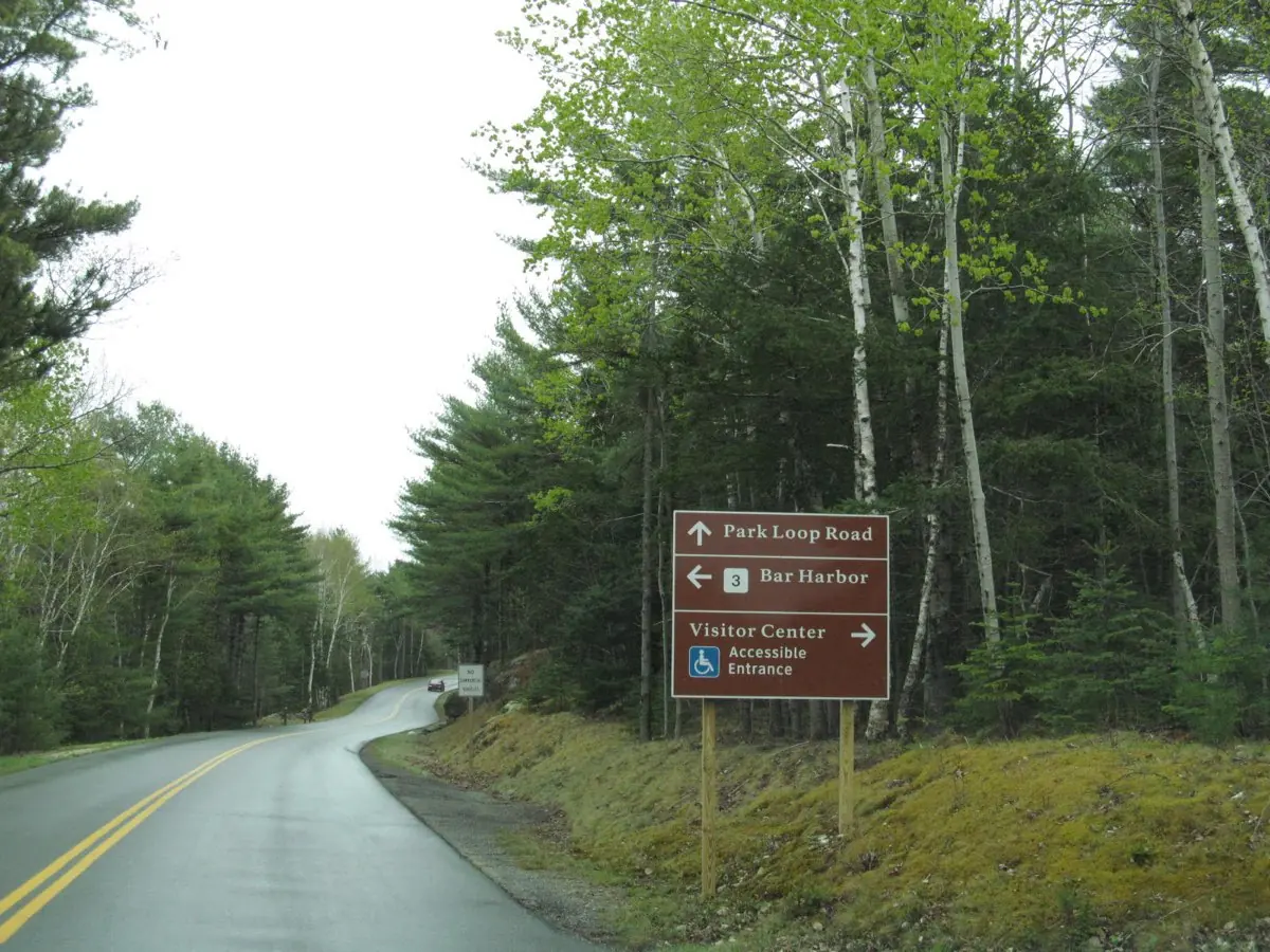
A scenic 27-mile route through Acadia National Park connecting most of its highlights.
Visitor guide
Park Loop Road is the 27-mile scenic drive around the east side of Mount Desert Island in Acadia National Park, Maine, linking the park's mountains, lakes and shoreline. The National Park Service calls it the go-to scenic drive on this side of the island, and it passes Sand Beach, Thunder Hole, Jordan Pond and the turn-off to Cadillac Mountain.
In the early 1900s some Mount Desert Island villages banned automobiles, and John D. Rockefeller Jr. was among those opposed to cars. The state legislature ended these auto wars in 1915 by requiring communities to open their roads to cars. Rockefeller then expanded his carriage road system and funded separate motor roads. The NPS says building ran from the early 1920s and the last segment was finished in 1958; its visitor page gives 1921 to 1958 while its motor-road history dates Rockefeller's first funded mountain road to 1922.
The road was built in stages across land that was largely private or town owned. Ocean Drive, begun by Rockefeller in 1929, was extended piece by piece, and the Civilian Conservation Corps built the Ocean Path. When Dorr and Rockefeller disagreed over a route in 1928, Frederick Law Olmsted Jr. was hired to settle it, and public pressure from island residents moved the route away from The Tarn toward Ocean Drive. NPS notes the Olmsted Brothers firm advised on routes, scenic overlooks and engineering details. Stanley Brook Road, built in 1934 to 1936 on Rockefeller's own land and donated, was designed with Olmsted's help and landscaped by Beatrix Farrand.
The Otter Point section was built in 1938 and 1939 after the Otter Cliff Naval Radio Station moved to Schoodic Point, and Paradise Hill Road, built in 1940 and 1941, lets visitors entering from Route 3 bypass Bar Harbor traffic. Among the structures are the 1935 Otter Creek Cove Bridge, the only solid masonry bridge on the park's motor roads, and the Duck Brook Bridge, completed in 1953, described as the largest stone-faced concrete arch bridge east of the Mississippi. Two of the park's 32 historic bridges, the Sieur de Monts Spring Bridge and Blackwoods Bridge, both built in 1939, carry Route 3 over the road.
Wikipedia lists the stops clockwise: Champlain Mountain and the Precipice trailhead, the Beehive, Sand Beach, Thunder Hole, the Gorham Mountain trailhead, Otter Cliff, Otter Cove, Hunters Beach overlook, Jordan Pond, Bubble Pond, the Eagle Lake overlook and the side road to Cadillac Mountain's summit. The NPS notes the road is mostly one-way and separate from local roads and the park's carriage roads, with speed limits between 25 and 35 miles per hour.
The NPS says the road can be very crowded in spring, summer and fall, and that in winter usually only part of it stays open to vehicles. Tolls, entrance rules, a seasonal shuttle and Cadillac Summit Road reservations all change, so check the NPS for current access, fees and conditions.
Because stops are spaced along a 27-mile one-way loop, a private vehicle and driver with door-to-door pickup lets you linger at the viewpoints you like and skip the rest without worrying about parking.
See every tour and attraction we cover in Bar Harbor.