TorontoOntario · 36 tours
 Niagara FallsOntario · 25 tours
 New York CityNew York · 30 tours
 Las VegasNevada · 8 tours
 San FranciscoCalifornia · 16 tours
 VancouverBritish Columbia · 17 tours
 DubaiUAE · 54 tours
 Abu DhabiUAE · 5 tours
 Buenos AiresArgentina · 23 tours
 AthensGreece · 31 tours
 AucklandNew Zealand · 38 tours
 CancunMexico · 54 tours
No destinations match “”. Try searching all tours instead — that search understands full questions, not just place names.
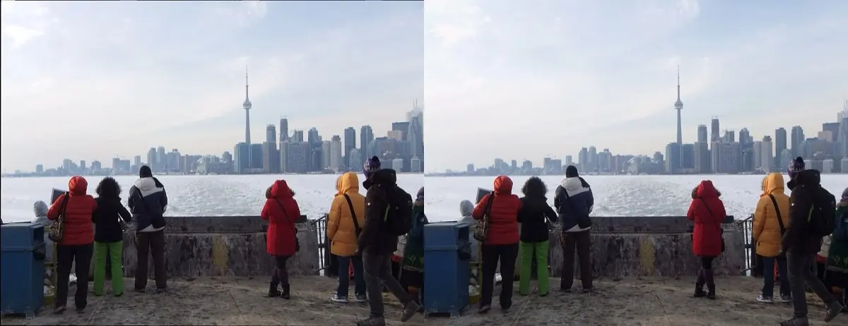
A chain of small islands in Lake Ontario reachable by ferry, with beaches and skyline views.
Visitor guide
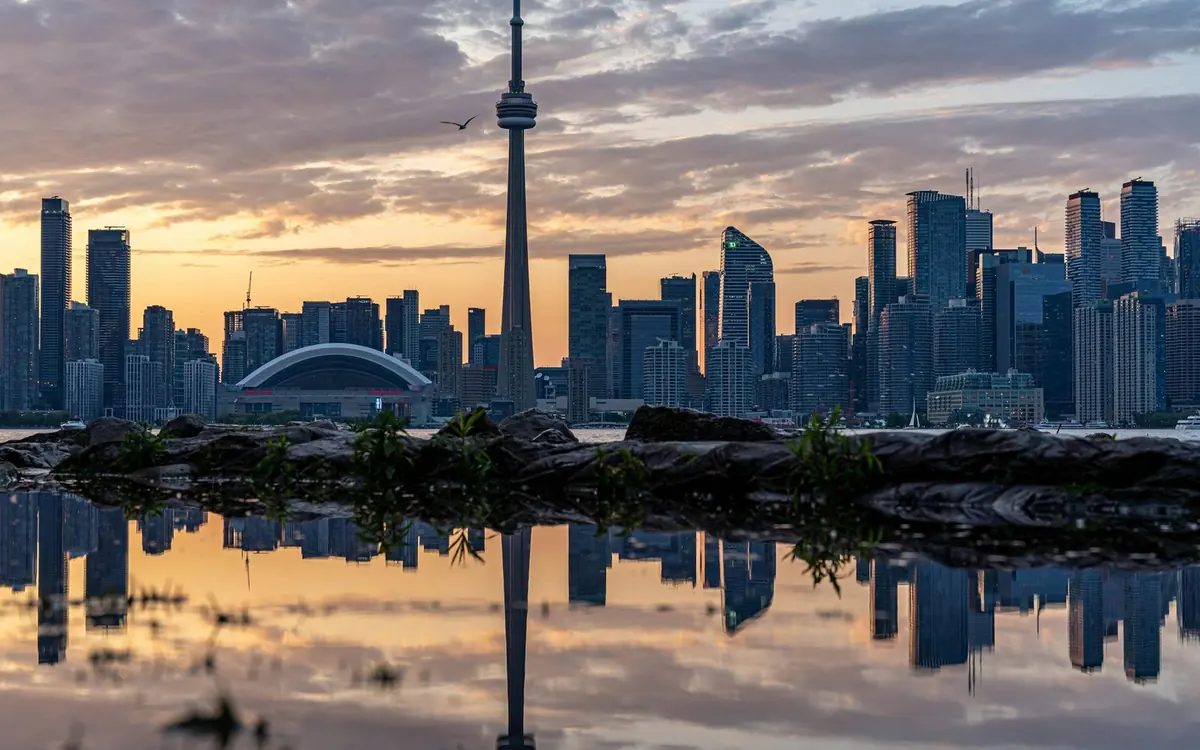
The Toronto Islands are a chain of about 15 low-lying islands in Lake Ontario, a short ferry ride from the foot of Bay Street. They cover roughly 332 hectares, hold beaches, parkland, a small residential community, and an amusement park, and they have almost no road traffic. The skyline view back across the harbour is the reason many visitors come.
The islands began as a sandbar and peninsula built from sediment eroded from the Scarborough Bluffs and carried west by lake currents. A violent storm in 1858 (some sources give April 13, others April 14) cut a channel through the peninsula, turning it into islands; that channel is now called the Eastern Gap, or Eastern Channel in City of Toronto documents. The Mississaugas of the Credit First Nation consider the islands sacred, and a land claim concerning them was settled with the Government of Canada in 2010.
The British built a blockhouse here in the 1790s, and the Gibraltar Point Lighthouse followed shortly after. Sources date it to 1808 or 1809, so the year is best treated as approximate. Local legend says its first keeper was murdered in 1815 and that his ghost lingers, but the story is folklore rather than established fact.
The Hanlan family, early year-round residents, developed the western end as a summer destination with an amusement park; their son Ned Hanlan became a celebrated rower. According to Wikipedia, Babe Ruth hit his first professional home run at Hanlan's Point Stadium in 1914, sending the ball into the lake. Ward's Island began as a tent settlement in the 1880s and grew into a cottage community.
The airport on the western end opened in 1939 as Port George VI Island Airport and was used during the Second World War to train Norwegian pilots; today it is Billy Bishop Toronto City Airport.
After the city leased the islands to Metro Toronto in 1955, homes were demolished and residents fought the removals through the courts into the late 1970s. In 1981 Ontario passed legislation that let residents stay, and the Toronto Islands Residential Community Stewardship Act of 1993 gave homeowners 99-year leases. The 2021 census counted 602 residents.
Centre Island is the largest and most visited, with beaches, bike paths, and Centreville Amusement Park, which opened in 1967 with a turn-of-the-century theme and includes a miniature railway and an antique carousel. Ward's Island is quieter and residential, with a beach and picnic areas. Hanlan's Point on the west side has a clothing-optional beach, one of two officially recognized in Canada, and was reportedly the site of Canada's first Gay Pride event. The lighthouse can be viewed from outside, though it is not generally open inside.
The ferry terminal is near Queens Quay, Harbourfront Centre, and the downtown core. A private Voyzo tour can drop you at the terminal and meet you again on your return, which saves parking and transit transfers on either end of the island visit.
See every tour and attraction we cover in Toronto.