TorontoOntario · 36 tours
 Niagara FallsOntario · 25 tours
 New York CityNew York · 30 tours
 Las VegasNevada · 8 tours
 San FranciscoCalifornia · 16 tours
 VancouverBritish Columbia · 17 tours
 DubaiUAE · 54 tours
 Abu DhabiUAE · 5 tours
 Buenos AiresArgentina · 23 tours
 AthensGreece · 31 tours
 AucklandNew Zealand · 38 tours
 CancunMexico · 54 tours
No destinations match “”. Try searching all tours instead — that search understands full questions, not just place names.
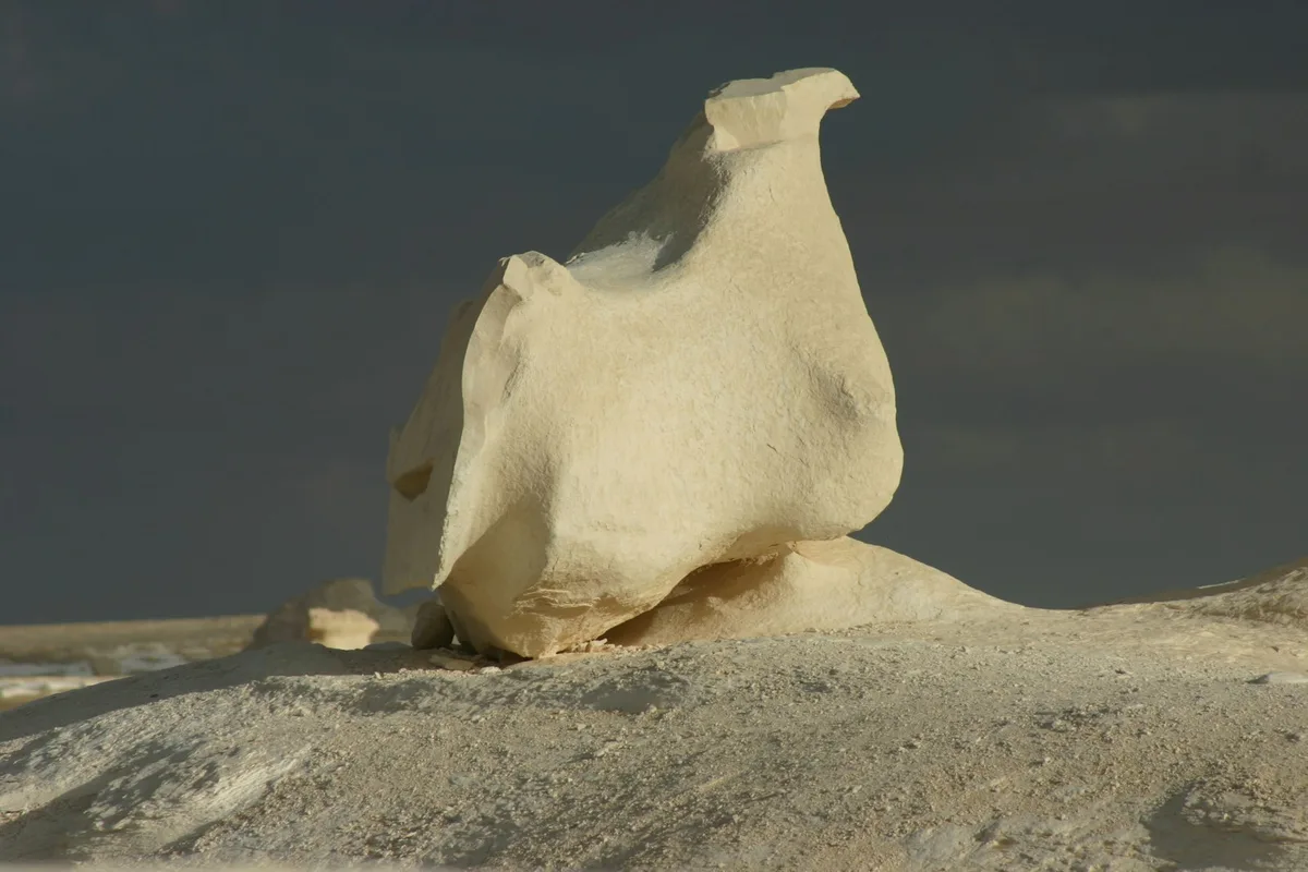
A protected desert landscape near the Farafra and Bahariya oases where wind-carved chalk-white rock formations rise from the sand, a highlight of Egypt's Western Desert.
 Multi-Day Tours
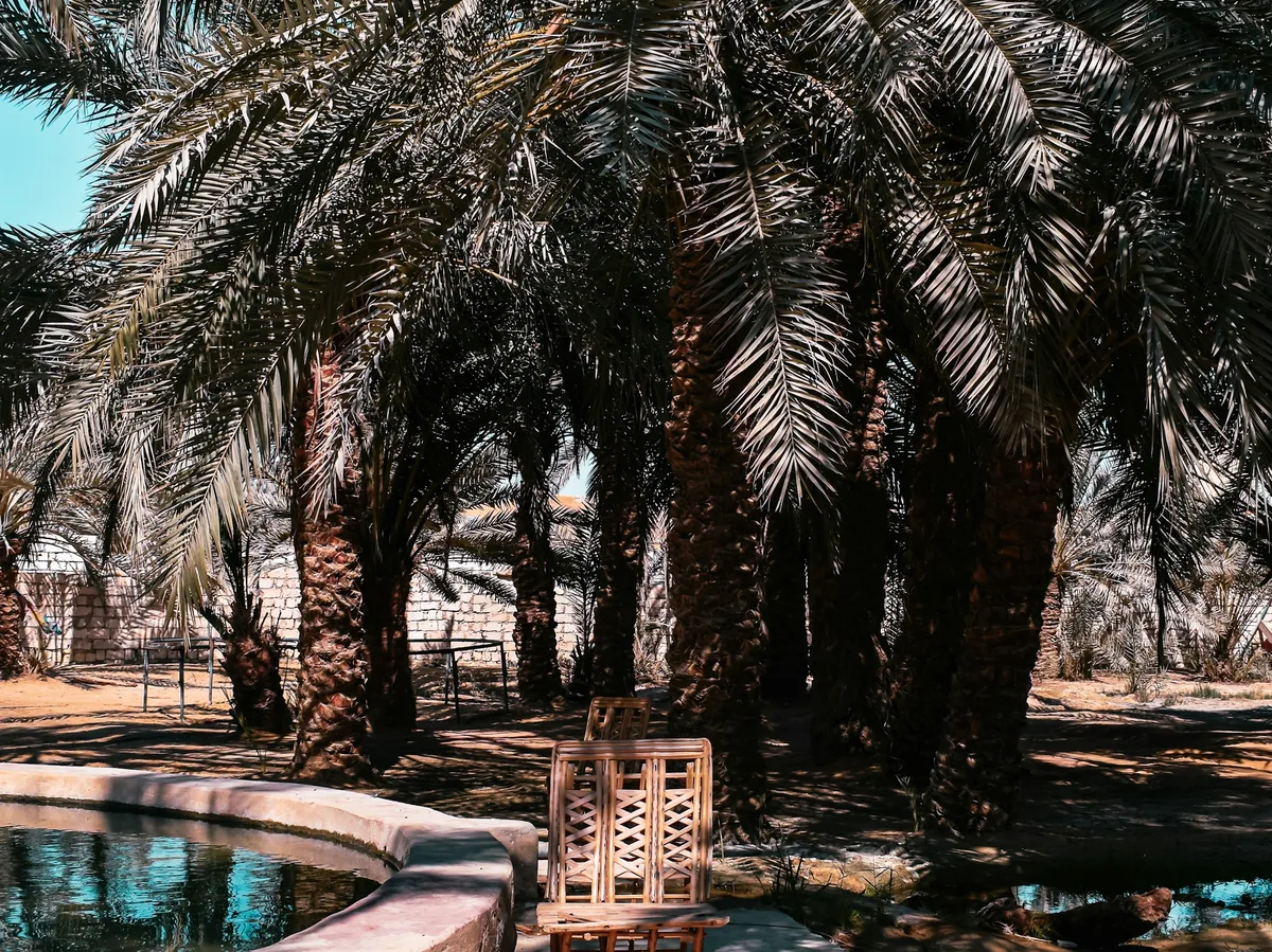
A week away from the Nile Valley entirely, exploring the Western Desert's Siwa and Bahariya oases — old mud-brick towns, hot springs, sand seas, and the White Desert's chalk formations.
 Multi-Day Tours
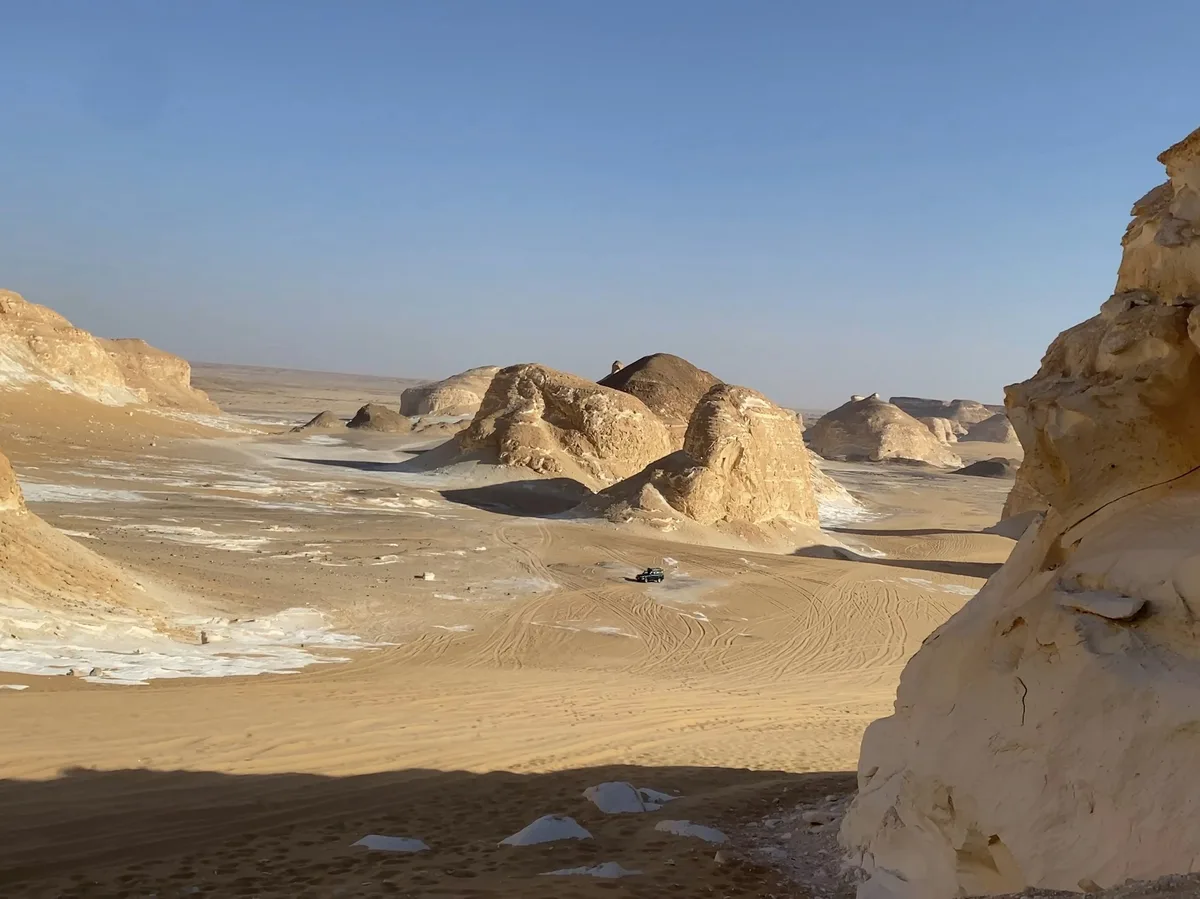
Eleven days pairing Cairo's pyramids with a deep run through the Western Desert — Siwa Oasis, the Black and White Deserts, and the Wadi Hitan whale fossil site.
Visitor guide
White Desert National Park, also known as Sahara el Beyda, is a protected area in Egypt's Western Desert, first established in 2002. It lies in the Farafra depression about 45 km north of Qasr Al Farafra and roughly 570 km southwest of Cairo, and it is known for large white chalk rock formations shaped by wind and sand.
The Protected Planet database lists the protected area at about 3,010 square kilometres, although some travel sources quote about 300, and it lies partly within the Farafra Oasis in New Valley Governorate. Wikipedia describes its chalk formations, sculpted by wind and sand erosion, as one of the important karst massifs of the Western Desert. Its highest point is El Qess Abu Said at 353 m and its lowest is Wadi Hennis at 32 m. Other features include cliffs at the northern end of the Farafra Depression, dunes that form part of the Great Sand Sea, and the oases of Ain El Maqfi and Ain El Wadi.
Travel sources agree the chalk was laid down on the floor of an ancient shallow sea, though they differ on exact ages, so dates are best treated loosely. Guides describe wind-eroded blocks taking mushroom and animal-like shapes, and some mention fossils of marine invertebrates and shark teeth in the southern part of the desert.
Wikipedia lists the endangered rhim gazelle and the vulnerable dorcas gazelle among the park's animals, along with Barbary sheep, jackals, Ruppell's, red and fennec foxes, and the sand cat. The park is listed as IUCN Category II.
Farafra is a depression of about 980 square kilometres, the second largest in western Egypt but the smallest by population, midway between the Dakhla and Bahariya oases. Wikipedia gives about 5,000 inhabitants in a 2002 estimate, mostly local Bedouins. The name is said to derive from an Arabic word for fizzy spring, and the ancient Egyptian name meant the land of cattle. The oasis has more than 100 wells, and warm, slightly sulfurous springs such as Bir Sitta are used for swimming.
Between the Bahariya and Farafra oases lies Crystal Mountain, a small arch of eroded chalk limestone with crystals. Wikipedia says the crystals are primarily barite and calcite, and notes that many websites incorrectly call them quartz.
Farafra has a hot desert climate. Wikipedia gives a mean annual daily maximum of about 30.1 degrees Celsius, a record high of 47.8 degrees and average annual rainfall of only about 2 mm. Despite this, the depression has been inhabited since the late Pleistocene and was known in ancient Egypt at least since the Middle Kingdom. A Roman-era spring, Ain Bishay, feeds an irrigated grove of date palms, citrus, olive, apricot and carob trees, showing how groundwater has supported farming in an otherwise arid landscape. Parts of the town of Farafra keep traditional mud-coloured architecture, which tourism has helped preserve.
The park appears as a Natural Wonder in the 2019 Civilization VI Gathering Storm expansion and as a playable region in Assassin's Creed Origins (2017), a sign of how recognisable its landscape has become.
The park is remote desert terrain, with sparse rainfall and hot conditions. A private tour with a driver and an experienced desert guide suits a visit, since the surroundings are open and unmarked.
See every tour and attraction we cover in Egypt.