TorontoOntario · 36 tours
 Niagara FallsOntario · 25 tours
 New York CityNew York · 30 tours
 Las VegasNevada · 8 tours
 San FranciscoCalifornia · 16 tours
 VancouverBritish Columbia · 17 tours
 DubaiUAE · 54 tours
 Abu DhabiUAE · 5 tours
 Buenos AiresArgentina · 23 tours
 AthensGreece · 31 tours
 AucklandNew Zealand · 38 tours
 CancunMexico · 54 tours
No destinations match “”. Try searching all tours instead — that search understands full questions, not just place names.
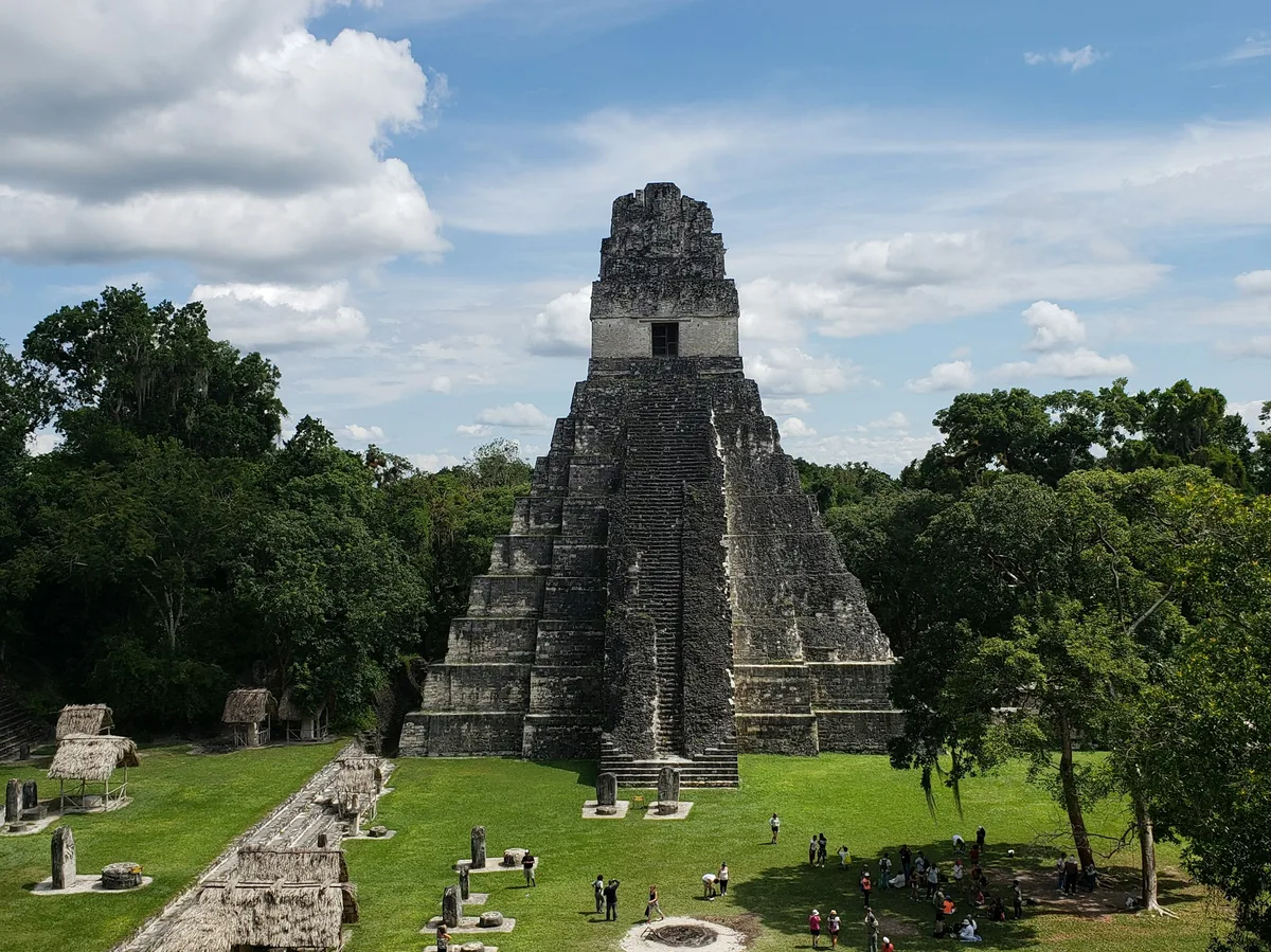
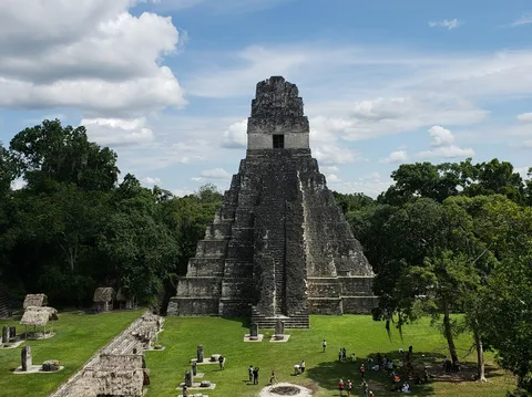
A Maya ceremonial center in the Peten jungle near Tikal, with over 500 structures around a lake, far quieter than its famous neighbor and known for sunset views from its tallest temple.
Visitor guide
Yaxha is a Maya archaeological site in northeastern Peten, Guatemala, standing on a ridge above Lake Yaxha about 30 kilometres southeast of Tikal. Wikipedia describes it as the third-largest ruin in Guatemala, after Tikal and El Mirador, and it lies within the Yaxha-Nakum-Naranjo National Park.
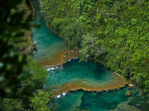
The name comes from a Maya word meaning 'blue-green water', and the emblem glyph of the city was read as Yax-ha by the epigrapher David Stuart. The ruins extend for roughly 3 kilometres along a limestone ridge between Lake Yaxha and Lake Sacnab. The lakes have no outlet, and their blue-green colour is attributed to dissolved minerals from the karst bedrock.
The site has more than 500 structures, about 40 stelae, 13 altars and nine temple pyramids, according to Wikipedia. Its estimated territory was about 237 square kilometres, and its population at the Late Classic peak has been estimated at around 42,000. The national park that surrounds it covers 37,160 hectares and also protects the ancient cities of Topoxte, Nakum and Naranjo, along with many smaller settlements.
Settlement began in the Middle Preclassic period, around 1000 to 350 BC, and by the Late Preclassic Yaxha was the largest settlement in the Yaxha-Sacnab basin. The city expanded in the Early Classic and shows Teotihuacan influence after the events at Tikal in AD 378. Stela 11 shows a warrior with attributes of the rain god Tlaloc in a style similar to Tikal's Stela 32. Stela 5, dated to AD 357, is the earliest dated monument at the site.
In the Late Classic, the nearby city of Naranjo eclipsed Yaxha without fully dominating it. Inscriptions record that Naranjo's king sacked Yaxha in AD 710 and that another Naranjo ruler captured Yaxha's king in AD 799. Yaxha avoided the rapid collapse seen elsewhere, and its latest recorded date is AD 793, on Stela 13. Only limited activity continued in the Postclassic, associated with islanders on the lake.
Structure 216, a pyramid-temple on the East Acropolis, is the tallest building at Yaxha at over 30 metres. Structure 218 is a palace-type building that was remodelled several times and yielded murals and a high-status burial. The South Acropolis, excavated between 2005 and 2007, is a complex of six patio groups on an artificial platform with a ballcourt. Plaza C is an E-Group, an astronomical complex with three Early Classic stelae. Plaza A is a twin-pyramid complex from the 8th century AD, one of very few outside Tikal, and it appears to have been left unfinished.
Causeways link groups of buildings, including a lake causeway of about 400 metres that connected the city to the shore.
Teoberto Maler first reported the ruins in 1904, the Carnegie Institution mapped them in the 1930s, and stabilisation work began in 1988. Early 21st-century work was part of a program funded by the Inter-American Development Bank. The ruins sit in jungle, with wildlife typical of the Peten forest, and the pyramids and lake viewpoints are the main draws. As many visitors reach Yaxha from Tikal or Flores, a private vehicle and guide make the long forest road and the walking between groups easier to manage.
See every tour and attraction we cover in Guatemala.