TorontoOntario · 36 tours
 Niagara FallsOntario · 25 tours
 New York CityNew York · 30 tours
 Las VegasNevada · 8 tours
 San FranciscoCalifornia · 16 tours
 VancouverBritish Columbia · 17 tours
 DubaiUAE · 54 tours
 Abu DhabiUAE · 5 tours
 Buenos AiresArgentina · 23 tours
 AthensGreece · 31 tours
 AucklandNew Zealand · 38 tours
 CancunMexico · 54 tours
No destinations match “”. Try searching all tours instead — that search understands full questions, not just place names.
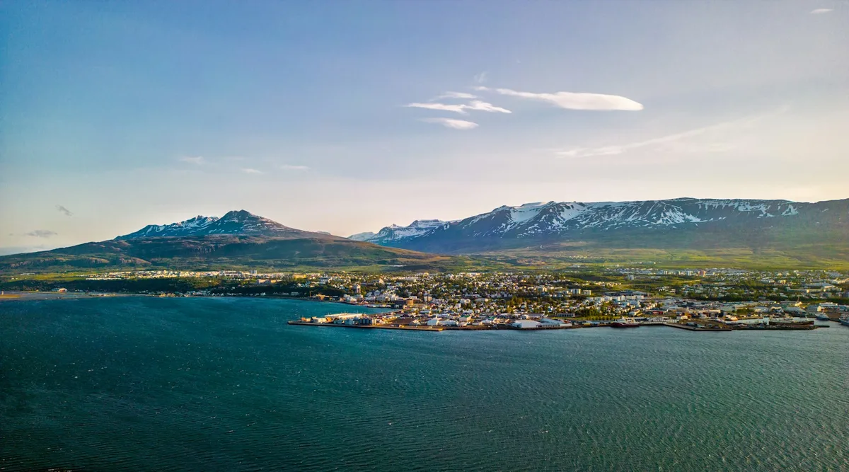
Iceland's second-largest urban area, sitting at the head of Eyjafjörður fjord in the north, known as the capital of North Iceland and a base for whale watching and Northern Lights viewing.
 Multi-Day Tours
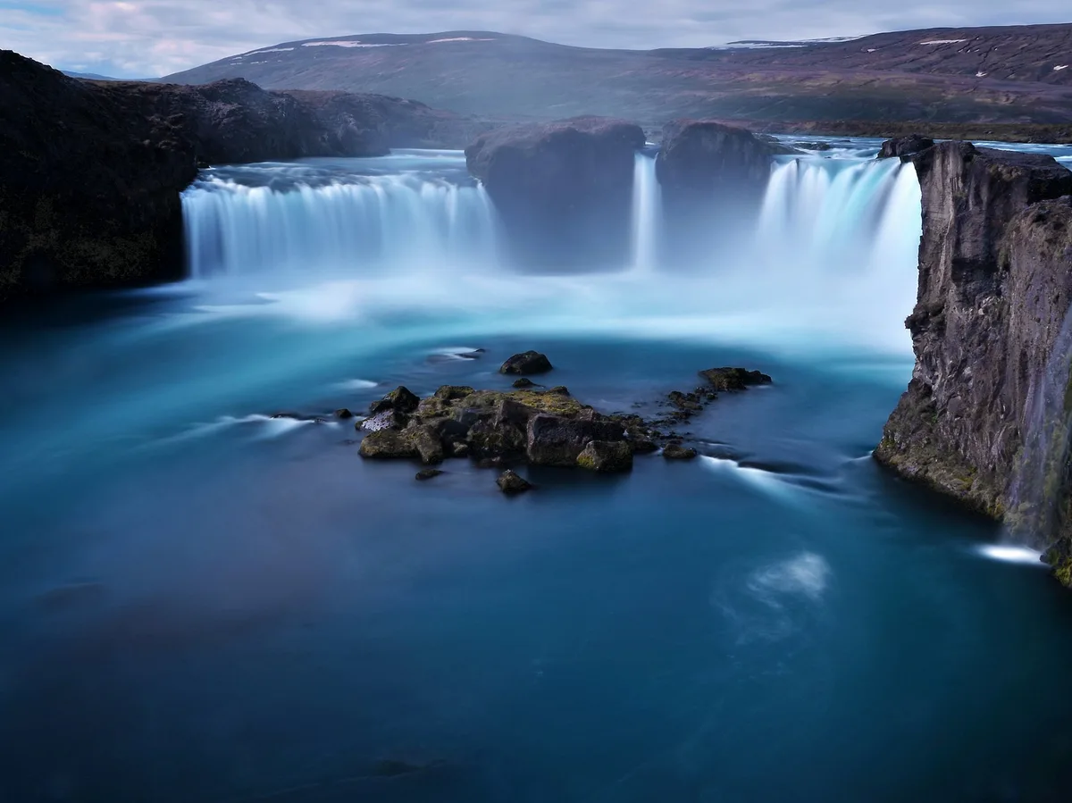
A 9-day route through North Iceland's less-visited landscapes — a flight to Akureyri, the Diamond Circle's Dettifoss and Asbyrgi Canyon, the remote Westfjords, the Snaefellsnes Peninsula, and a finish through the western lava fields.
 Multi-Day Tours
A 14-day full circuit of the Ring Road for Viking-history enthusiasts — Reykjavik's Viking museums, Snaefellsnes saga sites, the Westfjords-adjacent north, Husavik whale-watching, Lake Myvatn's Game of Thrones locations, the Eastfjords, Jokulsarlon, and the Golden Circle.
Visitor guide
Akureyri is a town in northern Iceland, on the west side of the inland end of the fjord Eyjafjordur. Nicknamed the Capital of North Iceland, it is the largest settlement outside the Capital Region and Iceland's fifth most populous municipality.
Mountains surround the town, with Struta (1,451 m) about 10 km to the west and Kerling (1,538 m) at the head of Gleradalur. The municipality also includes the island of Hrisey at the mouth of the fjord and Grimsey off the coast. Wikipedia gives a population of 20,284 for 2026 over an area of 138 square kilometres. Its harbour is ice-free and handles fish processing, freight and cruise ships.
The Norse settler Helgi magri is said to have settled the area in the ninth century, and the first mention of Akureyri is in 1562 court records. Danish merchants used the site for trading in the seventeenth century, valuing its natural harbour and fertile land. Permanent settlement began in 1778, and the town received its municipal charter in 1786 from King Christian VII, when its population was 12. It lost municipal status in 1836 and regained it in 1862. During the Second World War, Allied units were based there, including a Norwegian-British squadron that flew Catalina flying boats to protect convoys. Population grew from 2,239 in 1910 to 16,756 in 2005.
Akureyrarkirkja and Glerarkirkja are the town's major churches. The botanical gardens lie on Spitalavegur, and the Nature Museum opened on their grounds in 1957. Museums include the Akureyri Museum, the Akureyri Art Museum, Nonnahus, Davidshus, an industry museum, a motorcycle museum and the Aviation Museum of Iceland. The Hlidarfjall ski slopes lie just west of town, and the town has what the article describes as the most northerly 18-hole golf course in the world. The University of Akureyri was founded in 1987. Festivals include a medieval festival at Gasir and the Akureyri International Music Festival.
Akureyri has either a subarctic or a cold-summer Mediterranean climate, depending on the isotherm used. Precipitation is low for Iceland, around 574 mm a year, because prevailing winds come from the south, and winters are cold but not severe. Fishing has historically been central to the economy, and two of Iceland's five largest fishing companies are headquartered there.
Hrisey, a village about 35 km north of the town with about 210 residents, became part of Akureyri in 2004. It is the second-largest island off Iceland and is used as a quarantine site for pets and livestock. Major employers include fishing and food companies and Akureyri Hospital, one of two major hospitals in Iceland.
Akureyri Airport is the only airport in Iceland with scheduled international service other than Keflavik, and the Ring Road connects the town to Reykjavik, about 390 km away. The Vadlaheidargong tunnel opened in December 2018. A private guided visit with a driver suits exploring the town and the surrounding fjord.
See every tour and attraction we cover in Iceland.