TorontoOntario · 36 tours
 Niagara FallsOntario · 25 tours
 New York CityNew York · 30 tours
 Las VegasNevada · 8 tours
 San FranciscoCalifornia · 16 tours
 VancouverBritish Columbia · 17 tours
 DubaiUAE · 54 tours
 Abu DhabiUAE · 5 tours
 Buenos AiresArgentina · 23 tours
 AthensGreece · 31 tours
 AucklandNew Zealand · 38 tours
 CancunMexico · 54 tours
No destinations match “”. Try searching all tours instead — that search understands full questions, not just place names.
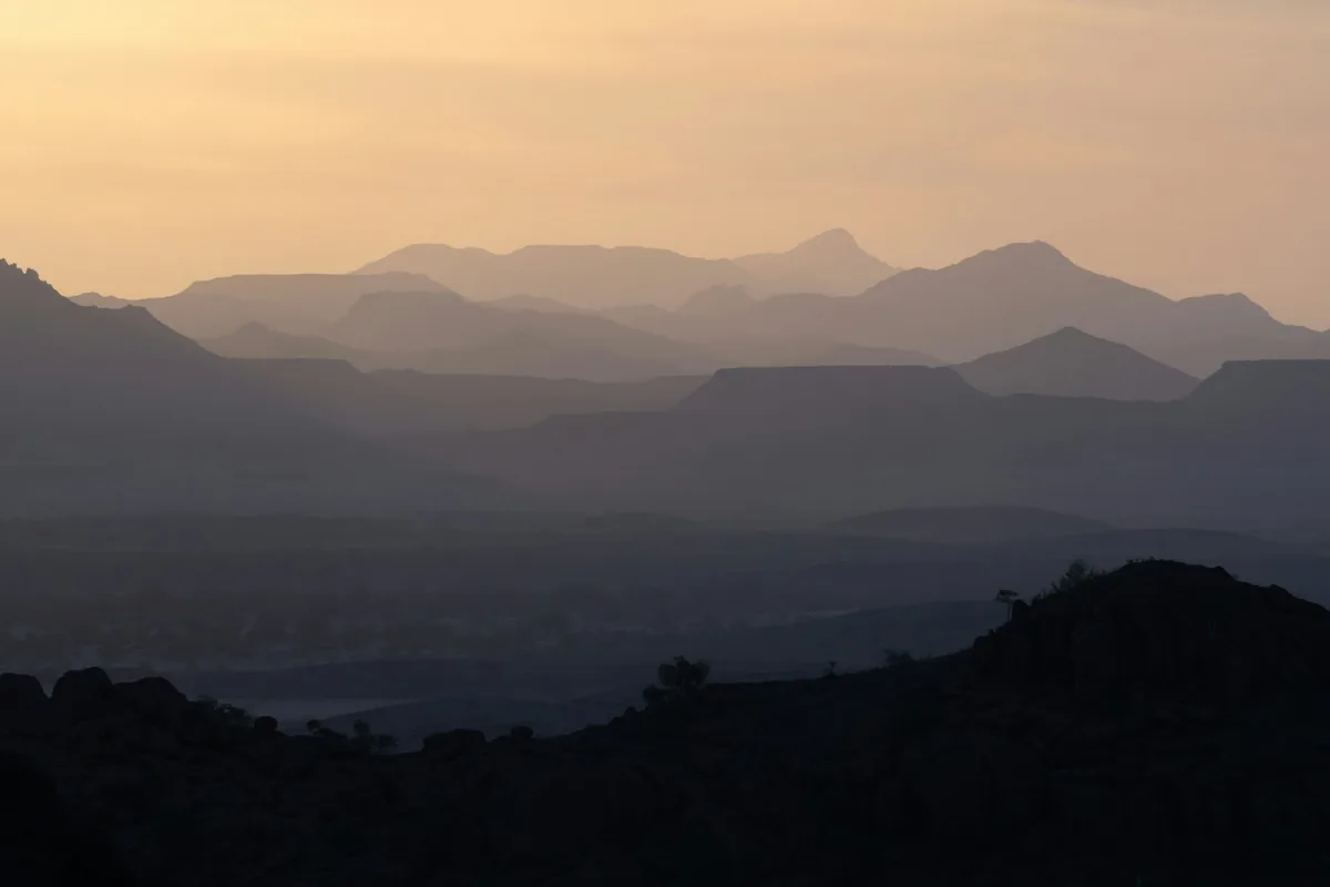
A rugged, sparsely populated region of northwestern Namibia known for desert-adapted elephants, the Petrified Forest, and the UNESCO-listed rock engravings of Twyfelfontein.
 Multi-Day Tours
A 10-day Namibia circuit from the AfriCat big-cat sanctuary at Okonjima through Etosha National Park's game drives and the desert-adapted elephants of Damaraland to coastal Swakopmund.
 Multi-Day Tours
A 14-day private family circuit from Windhoek through the Kalahari and the red dunes of Sossusvlei to Swakopmund, the Himba villages of Kaokoland, and the game drives of Etosha National Park.
 Multi-Day Tours
A 12-day private route from the red dunes of Sossusvlei along the Skeleton Coast to Swakopmund, the desert landscapes of Damaraland, and Etosha National Park's east and south, ending at the AfriCat Foundation.
 Multi-Day Tours
A 15-day Namibia journey combining classic sights — Sossusvlei, the Skeleton Coast, Damaraland, and Etosha — with overnight hiking trails through the NamibRand Nature Reserve and remote Palmwag Concession.
Visitor guide
Damaraland is a rugged, sparsely populated region of northwestern Namibia, long associated with the Damara people and known today for its rock art, desert-adapted elephants and dramatic mountain scenery. Its name survives as a travel region even though it no longer exists as an administrative unit.
Wikipedia describes Damaraland as the name of the north-central part of South West Africa, bordered roughly by Ovamboland to the north, the Namib Desert to the west, the Kalahari to the east and the Windhoek region to the south. The name was used in German colonial times, and the 1911 Encyclopaedia Britannica called it the central portion of German South West Africa. In the 1970s the apartheid-era government applied the name to a Bantustan, a self-governing homeland for the Damara people on the western edge of the older territory, with Khorixas as its capital. That arrangement was replaced in 1980 by ethnic representative authorities, and the homeland was abolished in May 1989 as Namibia moved toward independence. Today the area falls mainly within the Kunene and Erongo regions.
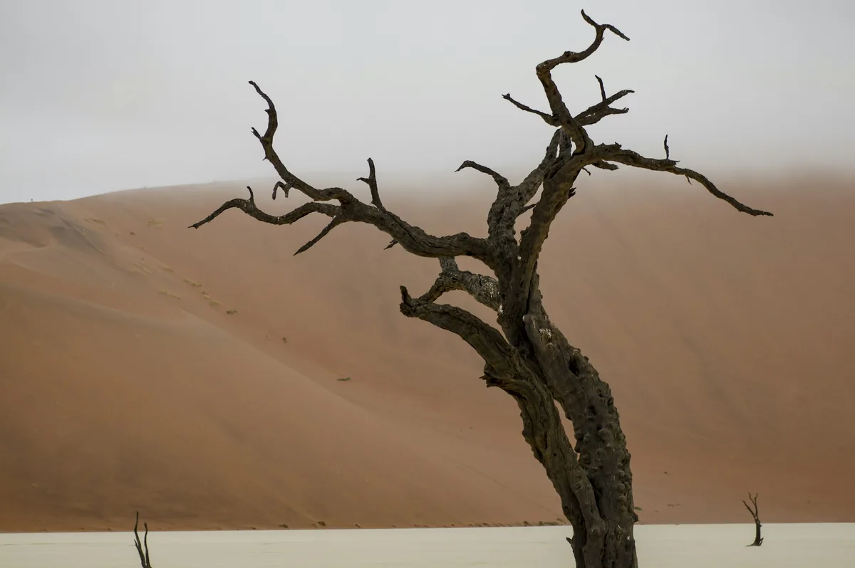
The region's best-known site is Twyfelfontein, a valley of sandstone slabs carrying thousands of engravings and some paintings. UNESCO inscribed it in 2007, and it is widely described as Namibia's first World Heritage Site. Nearby attractions named in sources include the Organ Pipes, Burnt Mountain and the Petrified Forest, where fossilised tree trunks lie scattered across the ground.
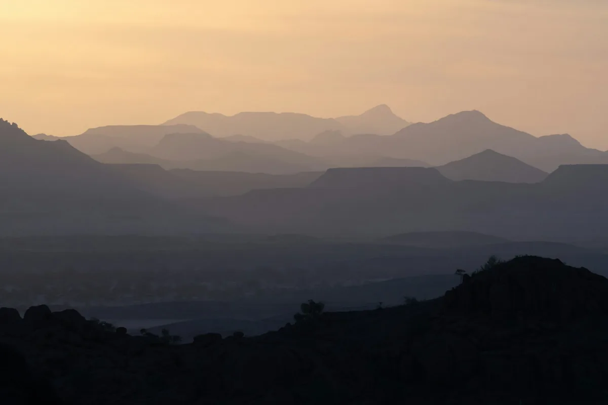
Namibia's highest mountain, the Brandberg, rises in the area. Its highest point, the Konigstein, reaches 2,573 metres, and the massif is a granitic dome formed during Early Cretaceous rifting, about 132 to 130 million years ago according to Wikipedia. The name means Burning Mountain in German, a reference to its glow at sunset. The Tsisab Ravine at its foot is home to the painting known as the White Lady, and the mountain holds well over a thousand rock shelters with tens of thousands of paintings, which are spiritually important to San people.
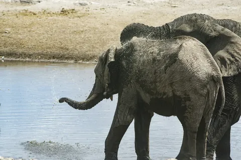
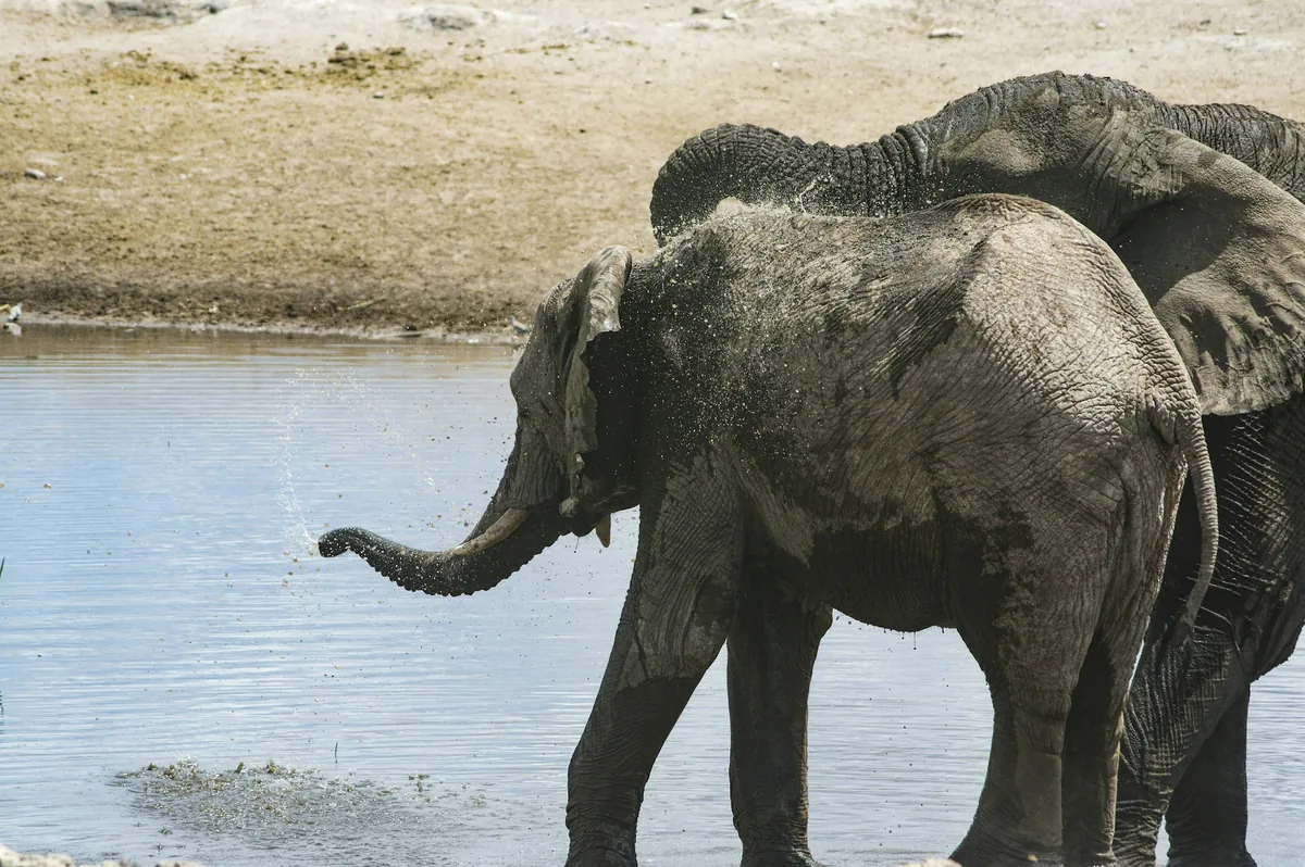
Namibia's north-west holds one of the few desert-adapted elephant populations in the world; another is in Mali. They are African bush elephants rather than a separate species, but they are an ecotype rather than a distinct form: their feet appear wider, and their bodies are about the same size as savannah elephants though they may look less bulky. They keep close to ephemeral rivers such as the Hoanib and Hoarusib, travelling long distances at night between them. An adult bull may eat about 250 kilograms of fodder and drink about 160 litres of water a day, yet can go up to three days without drinking. Conservation groups estimate that only about 150 remain, spread across five river subpopulations, after sharp declines in the 1980s. The Brandberg area is also noted as home to rare black rhinos.
The wider Kunene Region is home to Damara, Nama and Himba communities and is described as relatively underdeveloped because of its mountainous, dry terrain, which makes farming difficult. The region's population density is about one person per square kilometre. A private guided journey through Damaraland suits its long distances and rough tracks, and local guides can explain the rock art and wildlife in context.
See every tour and attraction we cover in Namibia.