TorontoOntario · 36 tours
 Niagara FallsOntario · 25 tours
 New York CityNew York · 30 tours
 Las VegasNevada · 8 tours
 San FranciscoCalifornia · 16 tours
 VancouverBritish Columbia · 17 tours
 DubaiUAE · 54 tours
 Abu DhabiUAE · 5 tours
 Buenos AiresArgentina · 23 tours
 AthensGreece · 31 tours
 AucklandNew Zealand · 38 tours
 CancunMexico · 54 tours
No destinations match “”. Try searching all tours instead — that search understands full questions, not just place names.
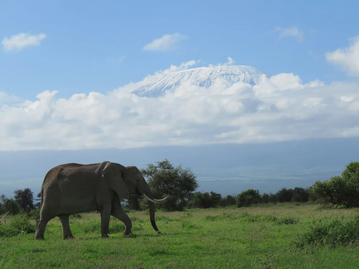
Africa's highest peak and, by common description, the world's tallest free-standing mountain, its snow-capped summit visible for miles across the surrounding savanna even to visitors who aren't climbing it.
 Multi-Day Tours
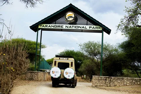
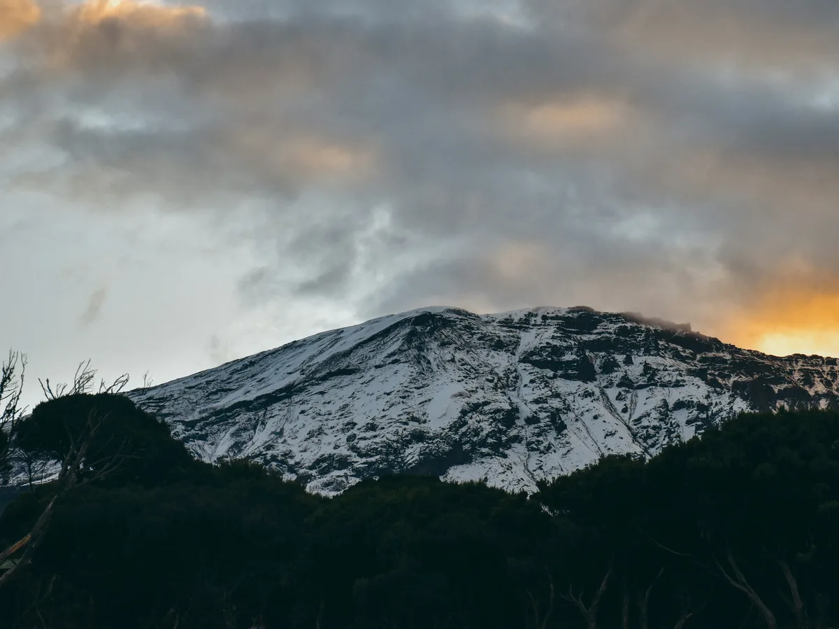
A 9-day trip through the heart of northern Tanzania — a day hike onto Kilimanjaro's Shira Ridge, a coffee-farm and canoe day in Arusha, Tarangire's wildlife, a Lake Eyasi visit with the Hadzabe and Datoga, a descent into the little-visited Empakaai Crater, and a full day in the Ngorongoro Crater.
 Multi-Day Tours
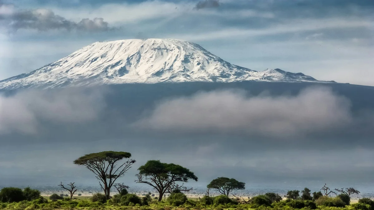
A 9-day Kilimanjaro summit trek on the Machame Route — six days climbing through rainforest, the Shira Plateau, the Barranco Wall, and Barafu Camp to a torchlit summit push to Uhuru Peak, using the recommended slow acclimatization pace.
Visitor guide
Mount Kilimanjaro is a dormant stratovolcano in northern Tanzania and the highest mountain in Africa, rising to 5,895 metres at Uhuru Peak. Wikipedia describes it as the highest free-standing mountain above sea level in the world, and its snow-capped summit can be seen from far across the surrounding plains.
Kilimanjaro is built from three cones. Kibo is the highest and largest, with Uhuru Peak on the rim of its crater. Mawenzi, at 5,149 metres, is a jagged, heavily eroded cone, and Shira, at about 4,005 metres, is the lowest. Mawenzi and Shira are extinct, while Kibo is considered dormant. The Saddle plateau, at about 4,400 metres, lies between Kibo and Mawenzi. The mountain formed from volcanic activity along the East African Rift beginning more than two million years ago, and Kibo's last major activity is dated to roughly 150,000 to 200,000 years ago. Wikipedia notes that the 5,895 metre figure comes from a 1952 survey and that later measurements have varied slightly.
Ice caps and glaciers such as the Credner, Furtwangler and Rebmann glaciers cap Kibo. Wikipedia reports that ice cover shrank from about 11.4 square kilometres in 1912 to under one square kilometre by 2011, a loss of almost 85 percent, and describes this retreat as unusual within the mountain's long history. In 2022 the International Union of Geological Sciences listed the Pleistocene Kilimanjaro volcano among its 100 geological heritage sites. The mountain has two rainy seasons, from March to May and around November, and the southern slopes are much wetter than the northern ones.
Because of its height and equatorial position, Kilimanjaro has distinct vegetation belts. Wikipedia lists bushland and farmland on the lower slopes, montane rainforest roughly between 1,800 and 2,800 metres, heather and moorland, alpine desert and finally an arctic summit zone. Endemic plants include the giant groundsel, and elephants and buffalo occur in the lower forests. About 50,000 people attempt the mountain each year, and the national park lists seven main routes to the summit, including Machame, Lemosho, Marangu, Rongai and Umbwe. Routes differ in length, scenery and crowding, and longer itineraries allow more time to adjust to the altitude.
The origin of the name Kilimanjaro is disputed, with suggested meanings including mountain of greatness or white mountain. The Chagga people living on the slopes called the two main peaks Kipoo and Kimawenze. The German missionary Johannes Rebmann reported the mountain to Europeans in 1848, and the first recorded ascent to the summit was made on 6 October 1889 by Hans Meyer and Ludwig Purtscheller. After Tanzania's independence the summit was renamed Uhuru Peak, Swahili for freedom peak.
Kilimanjaro has been a national park since 1973. Many visitors enjoy it without trekking, taking in views from the lower slopes and nearby safari areas, and a private guided day around the mountain can focus on the forest, villages and viewpoints.
See every tour and attraction we cover in Tanzania.