TorontoOntario · 36 tours
 Niagara FallsOntario · 25 tours
 New York CityNew York · 30 tours
 Las VegasNevada · 8 tours
 San FranciscoCalifornia · 16 tours
 VancouverBritish Columbia · 17 tours
 DubaiUAE · 54 tours
 Abu DhabiUAE · 5 tours
 Buenos AiresArgentina · 23 tours
 AthensGreece · 31 tours
 AucklandNew Zealand · 38 tours
 CancunMexico · 54 tours
No destinations match “”. Try searching all tours instead — that search understands full questions, not just place names.
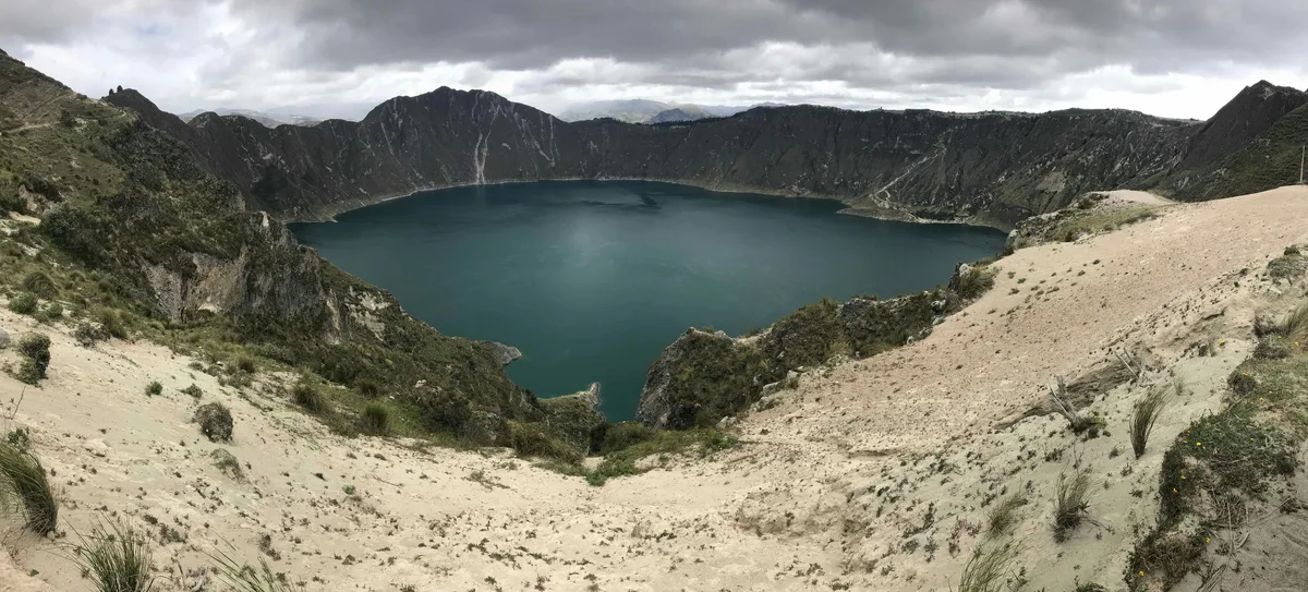
A water-filled volcanic caldera in the Ecuadorian Andes, its turquoise-green lake ringed by a rim trail with views down into the crater and out over surrounding indigenous farming villages.
 Multi-Day Tours
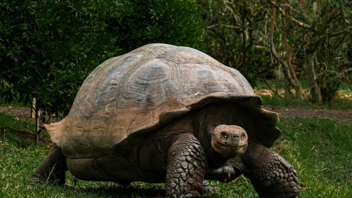
A sweeping 19-day route through Ecuador's highlands, the Amazon rainforest of Yasuni, the colonial cities of the Andes, and a five-island Galapagos finale.
 Multi-Day Tours
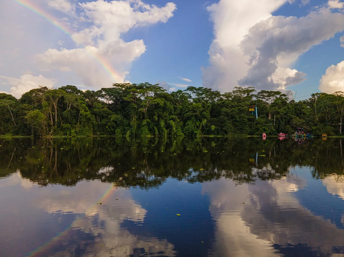
A compact 8-day adventure from Quito through Cotopaxi, Quilotoa, Baños, and into the Upper Amazon, finishing with a soak in Papallacta's hot springs.
Visitor guide
Quilotoa is a water-filled volcanic caldera in Cotopaxi Province, Ecuador, and is the westernmost volcano in the Ecuadorian Andes. Its green crater lake, about 3 kilometres across, sits at roughly 3,500 metres and is surrounded by a rim that offers views down into the crater and across highland farming country.
According to Wikipedia, Quilotoa is a dacite volcano whose caldera formed when the volcano collapsed after a very large eruption, known as the 1280 Plinian eruption, roughly 800 years ago. That eruption ended a dormancy of about 14,000 years and is classed as VEI 6. The article describes seven eruptive phases, one of which involved water meeting magma, suggesting a lake may already have existed. Pyroclastic flows and lahars from the event are reported to have travelled as far as the Pacific coast, and ash spread across the northern Andes. Wikipedia also notes that the surrounding rock is dated to roughly 40,000 years, long before the caldera-forming event.
The crater lake sits at about 3,500 metres above sea level and is around 250 metres deep, with a volume of about 0.35 cubic kilometres. Its greenish colour is attributed to dissolved minerals. Fumaroles have been reported on the lake floor and hot springs on the eastern flank, a reminder that the volcano is geologically alive. Locals have reported a slow drop in the water level, and travertine deposits along the shore show that levels were once higher.
The village of Quilotoa lies beside the rim and is the usual starting point for visitors. A trail around the caldera covers about 10 kilometres and takes several hours, with sandy, steep sections that can be harder in fog. The rim reaches higher points at three lava domes, around 3,810 to 3,915 metres. A path also leads down to the lakeshore; the climb back up is steep at altitude, and mules are sometimes offered in the village. Because of the elevation, a gradual pace and warm layers matter even on sunny days.
Quilotoa is the best-known stop on the Quilotoa Loop, a circuit of Andean villages and canyons that is also walked as a multi-day village-to-village route. Travel guides describe the Saturday market at Zumbahua, with indigenous vendors selling crafts, produce and livestock, and the village of Tigua, known for bright paintings of Andean life on sheepskin. The villages are working farming communities, so a private guide can help with introductions and local context. Market days differ from village to village, so itineraries are best planned around them.
Cotopaxi's highlands are cool and often cloudy, with weather changing quickly through the day. Clear mornings generally give the strongest colour on the lake. Quilotoa can be seen on a long day trip or combined with other stops on the Avenue of the Volcanoes.
See every tour and attraction we cover in Ecuador & Galapagos.