TorontoOntario · 36 tours
 Niagara FallsOntario · 25 tours
 New York CityNew York · 30 tours
 Las VegasNevada · 8 tours
 San FranciscoCalifornia · 16 tours
 VancouverBritish Columbia · 17 tours
 DubaiUAE · 54 tours
 Abu DhabiUAE · 5 tours
 Buenos AiresArgentina · 23 tours
 AthensGreece · 31 tours
 AucklandNew Zealand · 38 tours
 CancunMexico · 54 tours
No destinations match “”. Try searching all tours instead — that search understands full questions, not just place names.
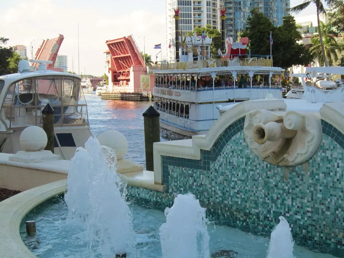
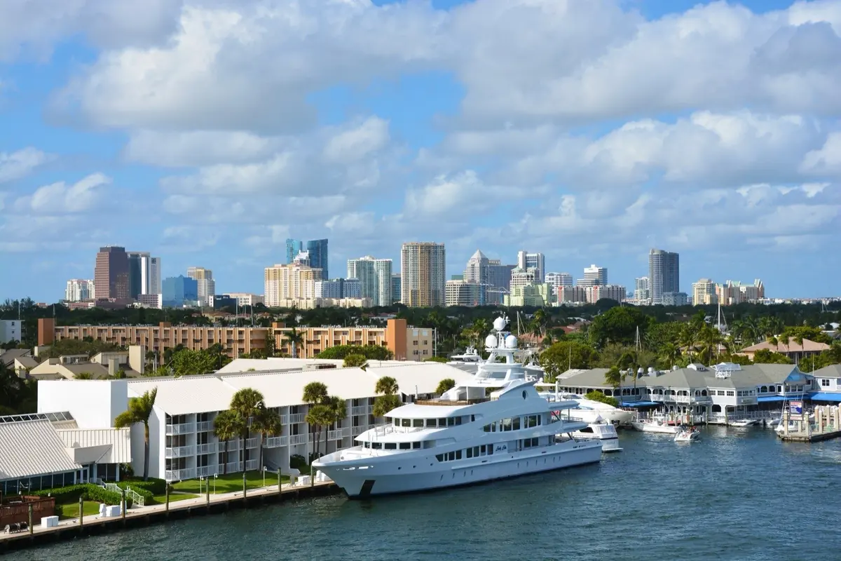
Roughly 165 miles of navigable waterways that earned Fort Lauderdale the nickname 'Venice of America.'
Visitor guide
Fort Lauderdale's canals are the city's defining geography: a web of natural river forks, dredged channels and finger islands that gave the city its nickname, the "Venice of America." The city is commonly credited with about 165 miles of waterways within its limits, and a large share of the homes in the older neighborhoods back onto water.
The story starts at the New River, where Frank Stranahan ran a ferry and trading post in the 1890s on the site that became the heart of the city. The name Fort Lauderdale itself goes back to a fort built in 1838 during the Second Seminole War. Engineers later cut the New River Canal toward Lake Okeechobee, reaching the lake by 1912, as part of the state's effort to drain Everglades wetlands for farming and settlement.
Most of the finger-island subdivisions came in the 1920s land boom. A city planning document records that developer Charley Rhodes began dredging the islands off Las Olas in 1922 to create the Venice Isle subdivision, with lots selling by early 1923. Dredgers piled the spoil into land, leaving the straight canals that still define neighborhoods such as Las Olas Isles. One account attributes the nickname to Commodore Avylen Harcourt Brook, a retired advertising executive who moved to the city in 1919, though that attribution is hedged in the source and the claim should be treated as local tradition.
The 165-mile figure appears in encyclopedic summaries of the city, but accounts differ on what counts: residential canals, navigable rivers, or the Intracoastal Waterway, which runs through the city. Some local sources speak more loosely of "more than a hundred miles." Treat any single number as approximate, and note that it covers waterways inside the city limits rather than the whole of Broward County.
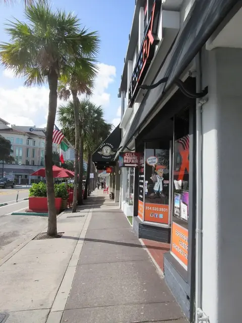
The New River is the main natural artery, running through downtown on its way to the Intracoastal. Much of the city's boating life clusters along the Riverwalk Arts and Entertainment District, which is anchored on the west by the Broward Center for the Performing Arts and links to Las Olas Boulevard. East of downtown, the Seven Isles, Hendricks Isles and Venice Isles neighborhoods are laced with canals that Las Olas crosses on bridges, so a drive along the boulevard gives frequent glimpses of docked boats.
One piece of trivia explains how the city stays connected: the Cypress Creek Canal, which flows under Interstate 95, is the only link between the city's northwestern section and the rest of the city.
Because most canals are lined with private property, the best views come from the water or from public bridges and parks. Boat tours and water-taxi style services operate in the area, but routes, schedules and operators change, so check current services before you plan around one. A private driver is a good fit for a land-based view: you can follow Las Olas Boulevard across the isles, pause at the Riverwalk, and pair the drive with a short boat outing arranged separately. Voyzo's private vehicle and driver with door-to-door pickup keeps the logistics simple.
The canals shape daily life here: they provide water access to ocean-going boats, create the setting for waterfront real estate, and tie the city to the broader South Florida drainage story that reshaped the Everglades. Understanding them explains why Fort Lauderdale feels more like a boating town than a typical beach resort.
See every tour and attraction we cover in Fort Lauderdale.