TorontoOntario · 36 tours
 Niagara FallsOntario · 25 tours
 New York CityNew York · 30 tours
 Las VegasNevada · 8 tours
 San FranciscoCalifornia · 16 tours
 VancouverBritish Columbia · 17 tours
 DubaiUAE · 54 tours
 Abu DhabiUAE · 5 tours
 Buenos AiresArgentina · 23 tours
 AthensGreece · 31 tours
 AucklandNew Zealand · 38 tours
 CancunMexico · 54 tours
No destinations match “”. Try searching all tours instead — that search understands full questions, not just place names.
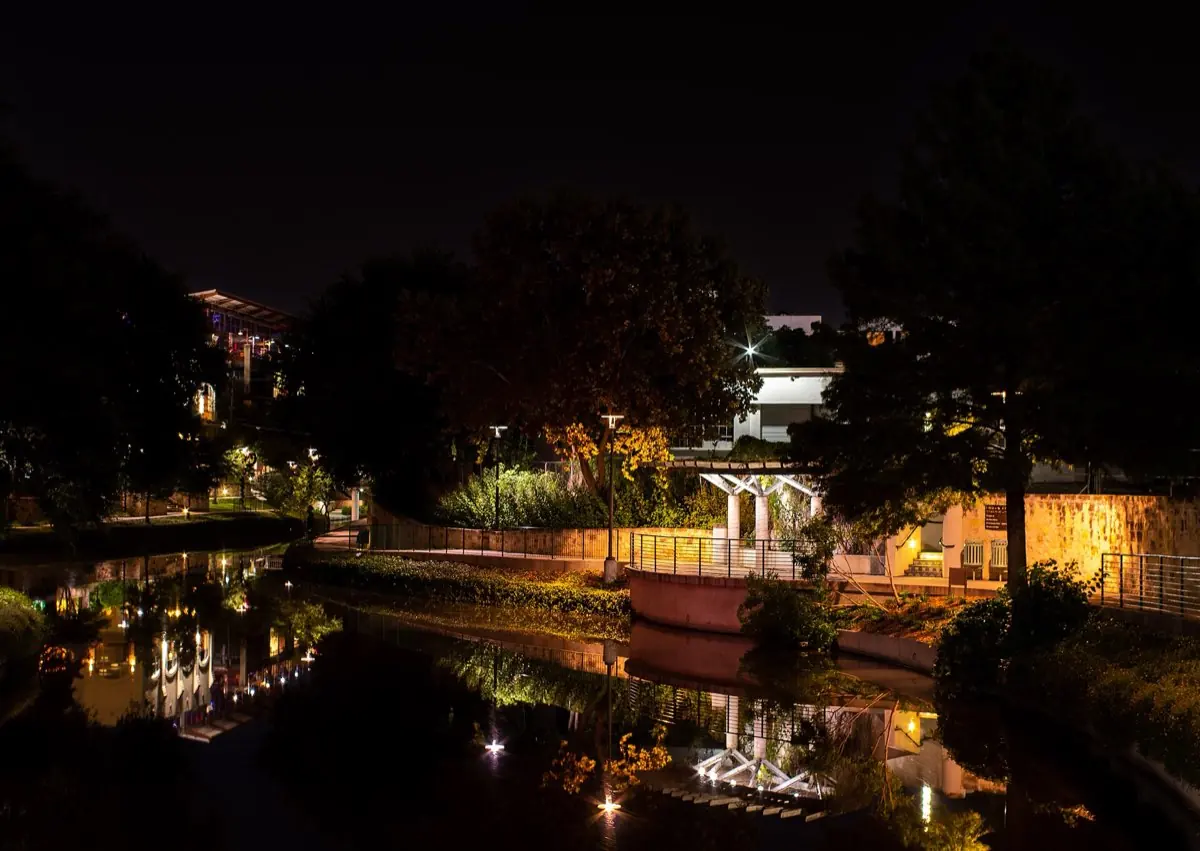
A river-level network of walkways below downtown, lined with restaurants and cypress trees.
Visitor guide
The San Antonio River Walk is a city park that runs one level below the downtown streets, with stone walkways, bridges, bald cypress trees and a continuous line of restaurants, shops and hotels beside the water. It grew out of a flood-control and beautification scheme of the late 1920s and 1930s, and it is now the thread linking downtown San Antonio to a much longer riverside trail network.
A flood on the San Antonio River in September 1921 killed 51 people, according to Wikipedia's account, and left downtown scarred. In the years that followed the city weighed practical fixes, including turning the river bend into a covered storm sewer. Work on the Olmos Dam and a bypass channel began in 1926, and the San Antonio Conservation Society opposed paving the river over.
In 1929 the young San Antonio architect Robert Hugman submitted a plan to treat the bend as a landscaped, pedestrian-level amenity. Money took time: a 1938 bond issue funded the San Antonio River Beautification Project, and Works Progress Administration labor in 1939 built roughly 17,000 feet of walkways and about twenty bridges, along with plantings that included bald cypress. Accounts generally place the opening in 1941. The Olmos Dam and bypass channel were put to the test in 1946, when another major flood threatened downtown and the damage was limited.
Growth came in stages. Casa Rio opened in 1946 and is described as the first restaurant on the water. The first major extension came for HemisFair '68, when the Hilton Palacio del Rio opened; the Hyatt Regency followed in 1981 with the Paseo del Alamo connector toward Alamo Plaza, and a 1988 expansion created a lagoon at Rivercenter.
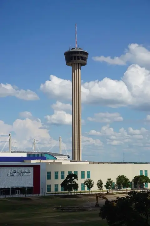
The original downtown loop is about two and a half miles by Wikipedia's reckoning, and it is the part most visitors picture: arched stone bridges, shaded patios and river barges gliding past. A quarter-mile extension of the walk passes through the Henry B. Gonzalez Convention Center on the edge of the former HemisFair grounds.
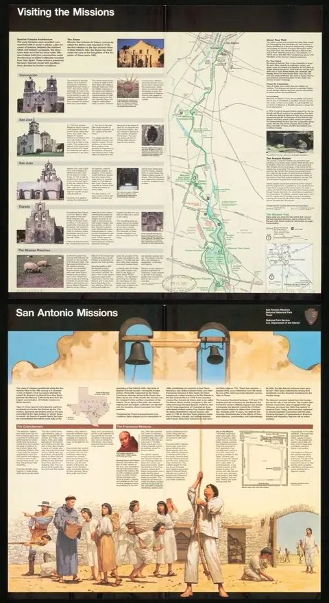
Beyond downtown the walk has been extended in both directions. The Museum Reach, a roughly $72 million project, opened on May 30, 2009, heading north toward the museum area, and the Mission Reach extended the walk several miles south toward Mission Espada, with the Mission Reach project described as completed in October 2013. In early 2016 the River Walk was connected to the San Pedro Creek greenway for the first time.
Two annual traditions are tied to the water: Fiesta San Antonio's springtime river parade of flower-decked floats, and the Mud Festival, which marks the cleaning of the river bottom.
Because the downtown stretch sits below street level and many streets nearby are busy, it helps to have a driver who knows where to drop you near the stairways and where to meet you again. Voyzo runs this as a private tour with your own vehicle and driver, door-to-door from your hotel, so the walk can be paired with other San Antonio stops at your own pace. Check the City of San Antonio and the barge operator for current barge schedules and any area closures.
See every tour and attraction we cover in San Antonio.