TorontoOntario · 36 tours
 Niagara FallsOntario · 25 tours
 New York CityNew York · 30 tours
 Las VegasNevada · 8 tours
 San FranciscoCalifornia · 16 tours
 VancouverBritish Columbia · 17 tours
 DubaiUAE · 54 tours
 Abu DhabiUAE · 5 tours
 Buenos AiresArgentina · 23 tours
 AthensGreece · 31 tours
 AucklandNew Zealand · 38 tours
 CancunMexico · 54 tours
No destinations match “”. Try searching all tours instead — that search understands full questions, not just place names.
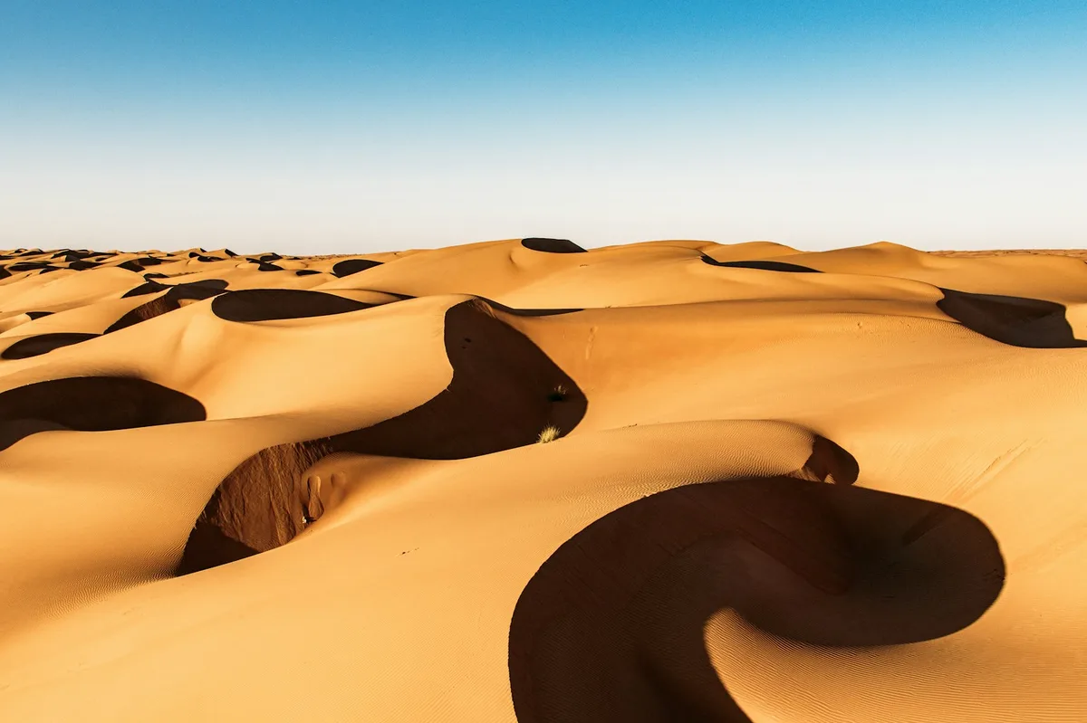
A sea of dunes reaching up to 200m in eastern Oman, home to Bedouin communities and a classic overnight desert-camp stop on Oman itineraries.
 Multi-Day Tours
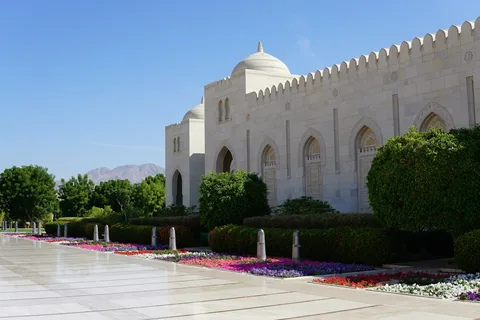
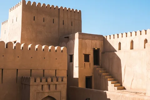
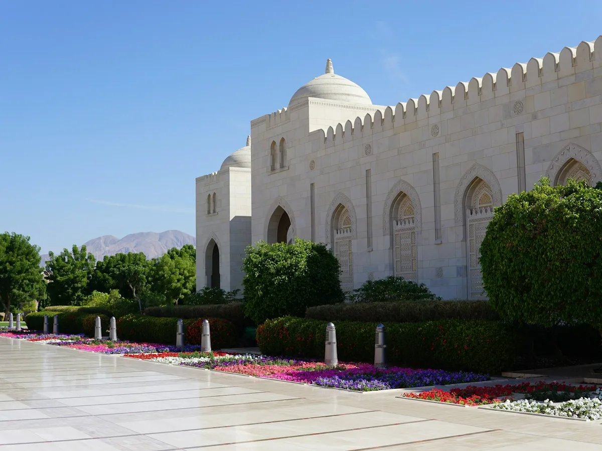
An 8-day route from Muscat's Sultan Qaboos Grand Mosque and Mutrah Souq along the coast to Sur, into Wahiba Sands for a desert camp night, up into the Jabal Akhdar mountains, and through Nizwa's fort and souq.
 Multi-Day Tours
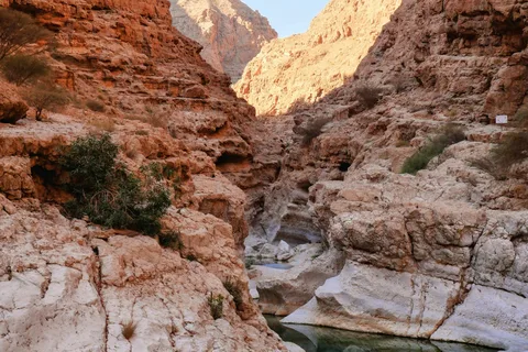
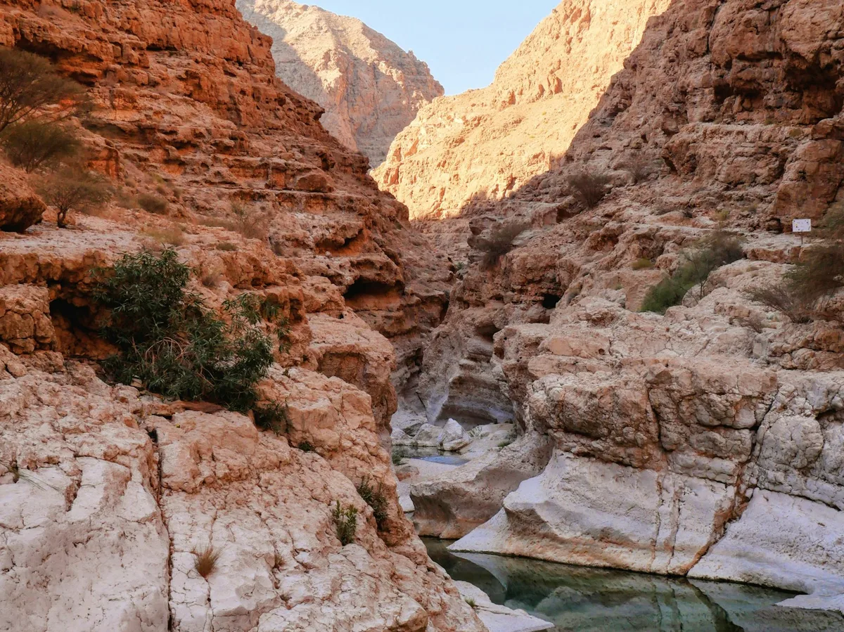
A 13-day, hike-focused private route through Oman's cities and mountains — from Muscat's mosque and forts, through the canyons of Wadi Nakhr and Jebel Akhdar, to a night in Wahiba Sands and a hike through Wadi Shab's pools and waterfalls.
Visitor guide
Wahiba Sands, now officially called Sharqiya Sands, is a large desert in the Ash Sharqiyah region of eastern Oman. It is a field of ridges and dunes inhabited by Bedouin communities, and a classic stop on journeys through the Sultanate.
Wikipedia gives the Arabic name as ar-Rimal ash-Sharqiyyah and says the area was formerly known as Wahiba Sands, taking its name from the Bani Wahiba tribe. It lies in Oman's Eastern Region and is divided between the northern and southern governorates. The desert covers an estimated 12,500 square kilometres, running roughly 180 km north to south and 80 km east to west.
The desert dates to the Quaternary period. Wikipedia attributes its formation to two wind systems: the south-west monsoon and the northern shamal wind. Wadi Batha and Wadi Andam mark its northern and western edges, and beneath the surface sand lies an older layer of cemented carbonate sand called eolianite. Alluvium believed to have come from Wadi Batha has been found about 200 metres below the interdune surface in the central desert.
Dunes are divided into a high (upper) northern Wahiba, where mega-ridge sand systems line up along a north-south axis, and a lower, southern section. Wikipedia says the northern dunes reach up to about 100 metres and are thought to have formed after the last regional glaciation, while travel descriptions often quote heights of up to about 200 metres. Because sources differ, heights are best treated as approximate and varying by area. Sand peaks tend to build up just beyond the strongest winds, where slowing air drops its load.
The desert looks barren, but a Royal Geographical Society project (fieldwork 1985 to 1987) documented a surprising range of life. Wikipedia reports about 16,000 invertebrates recorded, around 200 species of other wildlife including birds, and roughly 150 species of native plants, although a 1987 symposium summary of the project mentions some 175 plant species collected, mostly around the margins of the sands, so counts differ. The ghaf tree (Prosopis cineraria) is named as a representative plant of the region. The same article notes that wind erosion is believed to have helped create a nearly level plain in the southwest, so the landscape is not uniformly dune-covered: sand ridges, flat interdune corridors and sparse scrub all appear in different parts of the region.
The area is home to Bedouin groups. When the 1986 expedition took place, the tribes present included the Al Wahiba, for whom the region is named, as well as the Al-Amr, Al-Bu-Isa, Hikman, Hishm and Janaba. Between June and September, Wikipedia notes, Bedouins gather at the oasis of Al-Huyawah near the desert's edge to harvest dates.
Wikipedia notes that vehicles are used on the dunes near the Eastern Hajar Mountains. The desert is commonly visited as an overnight desert-camp stop, usually combined with other highlights in eastern Oman, and soft sand makes experienced local drivers important. A private tour with a driver who knows the dune tracks suits the terrain, and winter months are generally the more comfortable time for a desert stay.
See every tour and attraction we cover in Oman.