TorontoOntario · 36 tours
 Niagara FallsOntario · 25 tours
 New York CityNew York · 30 tours
 Las VegasNevada · 8 tours
 San FranciscoCalifornia · 16 tours
 VancouverBritish Columbia · 17 tours
 DubaiUAE · 54 tours
 Abu DhabiUAE · 5 tours
 Buenos AiresArgentina · 23 tours
 AthensGreece · 31 tours
 AucklandNew Zealand · 38 tours
 CancunMexico · 54 tours
No destinations match “”. Try searching all tours instead — that search understands full questions, not just place names.
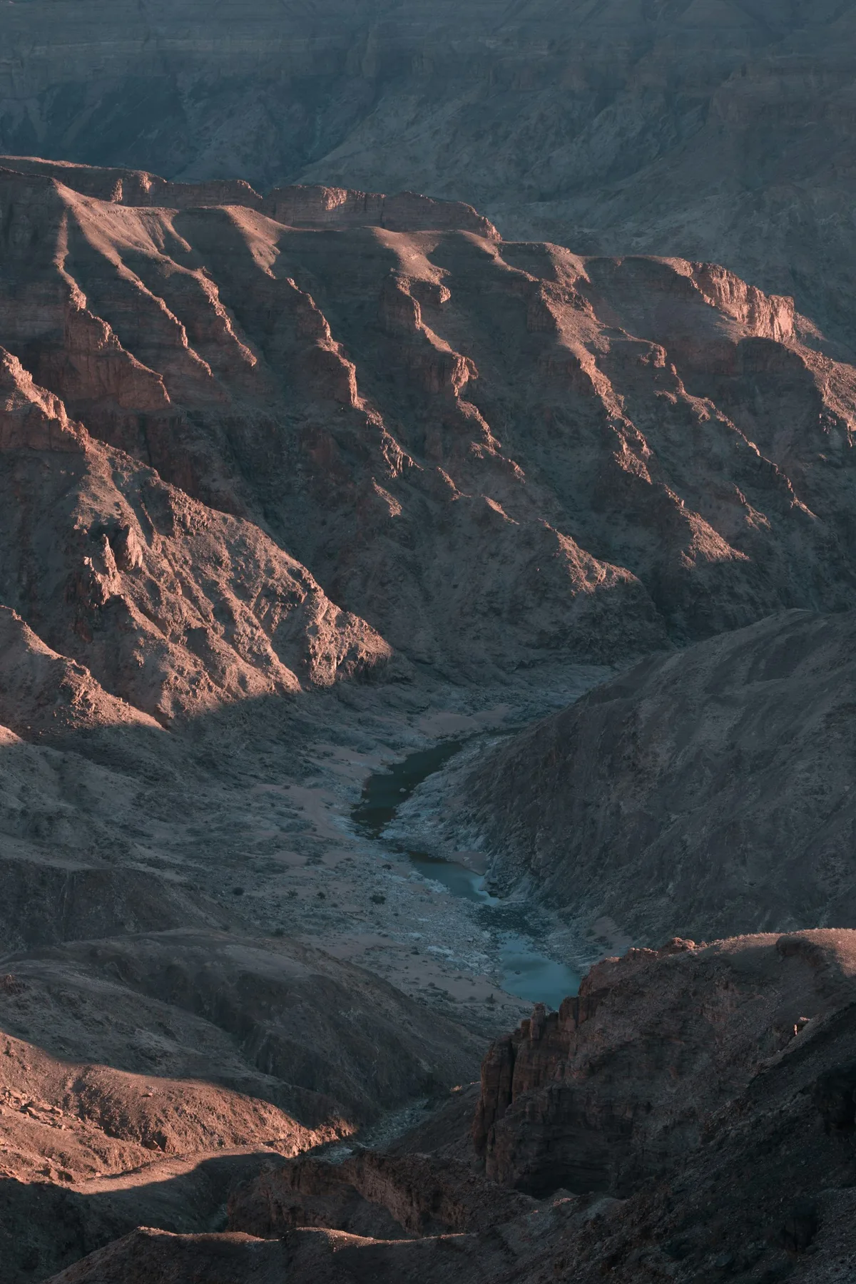
Africa's largest canyon, in southern Namibia — roughly 160 km long, up to 27 km wide and 550 metres deep, and one of Namibia's most-visited natural landmarks after Etosha.
Visitor guide
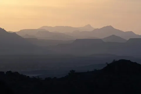
Fish River Canyon is a vast gorge in southern Namibia, described by Wikipedia as the largest canyon in Africa. It is roughly 160 kilometres long, up to 27 kilometres wide and nearly 550 metres deep, and is one of the country's most-visited natural attractions.
The canyon lies in the south of the country, and the deepest point is given as 549 metres. The area covers about 5,900 square kilometres and falls under Namibia's environment and tourism ministry. Only the section near Hobas, within the ǀAi-ǀAis/Richtersveld Transfrontier Park, is open to the public, and the rest is privately owned. Hobas has public viewpoints along the rim, and the hot springs resort of ǀAi-ǀAis lies at the lower end of the canyon, about 70 kilometres to the south.
Wikipedia gives a long geological story. About 650 million years ago, tectonic movement created a north-south graben, a lowered corridor, which allowed the ancient Fish River to erode a flat plain that became the upper canyon. Glaciation around 300 million years ago, part of the Karoo Ice Age, deepened it further. Around 60 million years ago Africa and South America separated and Africa rose, and the steeper gradient let the river carve the meandering lower canyon into hard gneiss. The upper and lower sections were both declared national monuments in 1962.
The Fish River is the longest interior river in Namibia. It flows intermittently, usually flooding in late summer, and for the rest of the year it is a chain of long, narrow pools that often dry to stagnant water by September. The river cuts through a plateau that is now dry, stony and sparsely vegetated, with drought-resistant plants.
A famous multi-day trail runs about 90 kilometres through the canyon, mostly along the river for roughly 88 kilometres to ǀAi-ǀAis, and is usually completed in about five days. It begins at a car park about 13 kilometres west of Hobas, where chains help hikers over the steep first 100 metres of the descent. The trail involves more than 20 river crossings, has no amenities or phone coverage, and requires hikers to carry all supplies. Hazards include steep descents, deep sand, slippery crossings, baboons, snakes and scorpions. Permits are issued only in the cooler months of the year because of flooding and extreme summer heat, and hikers need a medical fitness certificate. These details change, so confirm the current rules before planning a hike.
Documented running through the canyon began in 1990, and an annual ultra marathon has been held since 2011. Wikipedia lists a record of 6 hours 57 minutes set in 2012, later bettered by AJ Calitz in 2016.
Typical temperatures range from about 5 to 30 degrees Celsius with low humidity, but summer days can reach 48 degrees, and flash floods and strong winds occasionally disrupt the season. Most visitors who are not hiking see the canyon from the viewpoints near Hobas. A private guided visit with a driver is a practical way to reach the rim viewpoints and the southern region around them.
See every tour and attraction we cover in Namibia.