TorontoOntario · 36 tours
 Niagara FallsOntario · 25 tours
 New York CityNew York · 30 tours
 Las VegasNevada · 8 tours
 San FranciscoCalifornia · 16 tours
 VancouverBritish Columbia · 17 tours
 DubaiUAE · 54 tours
 Abu DhabiUAE · 5 tours
 Buenos AiresArgentina · 23 tours
 AthensGreece · 31 tours
 AucklandNew Zealand · 38 tours
 CancunMexico · 54 tours
No destinations match “”. Try searching all tours instead — that search understands full questions, not just place names.
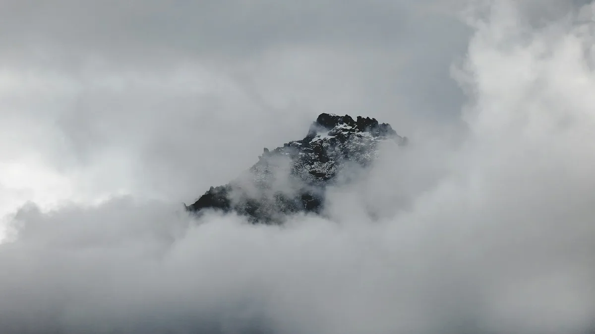
A glacier on the South Island's West Coast that descends from the Southern Alps toward temperate rainforest, with guided walks and helicopter access onto the ice.
Visitor guide
Franz Josef Glacier, known in Maori as Ka Roimata o Hine Hukatere, is a temperate maritime glacier on New Zealand's West Coast, in the South Island. It descends from the Southern Alps to within sight of temperate rainforest and lies in Westland Tai Poutini National Park, part of the Te Wahipounamu World Heritage area.
According to Wikipedia, the glacier is about 12 km long and falls to less than 300 metres above sea level, with the Waiho River emerging from its terminus. Its snowfield at the head lies over 2,500 metres above sea level and covers about 20 square kilometres. The glacier drops from that height to 300 metres in only 11 km, and this steep, narrow descent is what lets it persist in a valley that also holds temperate rainforest. Fox Glacier lies about 20 km to the south.
The snowfield can receive up to 15 metres of precipitation a year, among the highest in the world. At the end of the last ice age, about 18,000 years ago, the ice reached the present coastline or beyond, and the retreating ice left moraines that formed coastal hills and lakes. The Waiho Loop, about 4 km north of Franz Josef township, is the glacier's terminal moraine, an arc of rubble about 80 metres high that is still covered in native forest.
The Maori name translates roughly as the tears of Hine Hukatere. In the oral tradition, Hine Hukatere loved mountain climbing, and her lover Tuawe died when an avalanche swept him from the peaks. Her tears flowed down the mountain, and Rangi, the Sky Father, froze them to form the glacier. The German geologist Julius von Haast named it after Emperor Franz Joseph I of Austria in 1865, and the Ngai Tahu Claims Settlement Act 1998 gave it the official dual name Franz Josef Glacier / Ka Roimata o Hine Hukatere.
The glacier's length changes in cycles that depend on the balance between meltwater and the snowfall feeding the snowfield. Wikipedia notes that it was much longer than today when Haast arrived, with its ice surface about 300 metres higher, and that between its first official mapping in 1893 and 1983 it retreated about 3 km up the valley. Advances followed in several periods of the 20th century, including 1983 to 1999 and 2004 to 2008, each followed by greater retreat. After 2008 the glacier retreated rapidly, by about 1.5 km between 2008 and 2017. Plants colonise the bare rock behind it, so the stage of forest succession shows how long ago each surface was exposed.
Franz Josef and Fox are described as New Zealand's most publicly accessible glaciers, and they have drawn visitors for more than a century. The mountain guiding Graham family is closely tied to this tourism history. In March 2012 the terminal face collapsed, making it too dangerous to approach on foot, and the valley walk now ends at a lookout about 3 km from the main terminal face. Most visitors take helicopter tours that land guests between the first and second icefalls for guided walks on the ice with provided crampons and ice axes. Franz Josef village, about 5 km from the glacier on State Highway 6, is the base for visits, and a private guided trip with a driver fits well into a longer South Island journey along the West Coast.
See every tour and attraction we cover in New Zealand.