TorontoOntario · 36 tours
 Niagara FallsOntario · 25 tours
 New York CityNew York · 30 tours
 Las VegasNevada · 8 tours
 San FranciscoCalifornia · 16 tours
 VancouverBritish Columbia · 17 tours
 DubaiUAE · 54 tours
 Abu DhabiUAE · 5 tours
 Buenos AiresArgentina · 23 tours
 AthensGreece · 31 tours
 AucklandNew Zealand · 38 tours
 CancunMexico · 54 tours
No destinations match “”. Try searching all tours instead — that search understands full questions, not just place names.
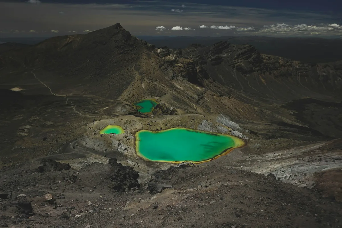
A 19.4 km trail across volcanic terrain in Tongariro National Park, passing the Mount Ngauruhoe cone and the mineral-colored Emerald Lakes — regularly ranked among the world's best day hikes.
Visitor guide
The Tongariro Alpine Crossing is a 19.4 km tramping track in Tongariro National Park on New Zealand's North Island. It crosses the volcanic terrain of Mount Tongariro and passes the eastern base of Mount Ngauruhoe, and it is regarded as one of the country's most popular day walks.
Tongariro National Park is a World Heritage site recognised for both natural and cultural significance. The crossing itself is rated moderate by Wikipedia and runs between a high point at Red Crater, at 1,886 metres, and a low point at the Ketetahi road end, at 760 metres. Until 2007 the route was known as the Tongariro Crossing; the name was changed to include the word Alpine to emphasise how exposed the terrain and weather can be.
Most walkers travel from Mangatepopo, at about 1,120 metres, towards Ketetahi, because this direction involves less climbing. The track begins on a gentle gradient near Mangatepopo Hut, then climbs steeply to the Tongariro saddle. It continues through South Crater, climbs to the rim of Red Crater, then descends past the Emerald Lakes and the edge of Blue Lake. The final two hours are a long descent down the northern flank of the volcano, past the Ketetahi area. Wikipedia gives the walking time as about seven hours in good weather, while the Department of Conservation advises allowing about 9 hours, and longer in winter or if walked in the opposite direction.
Because the track is linear, walkers normally arrange transport between the two ends. A private driver suits this well, since the start and finish are far apart by road.
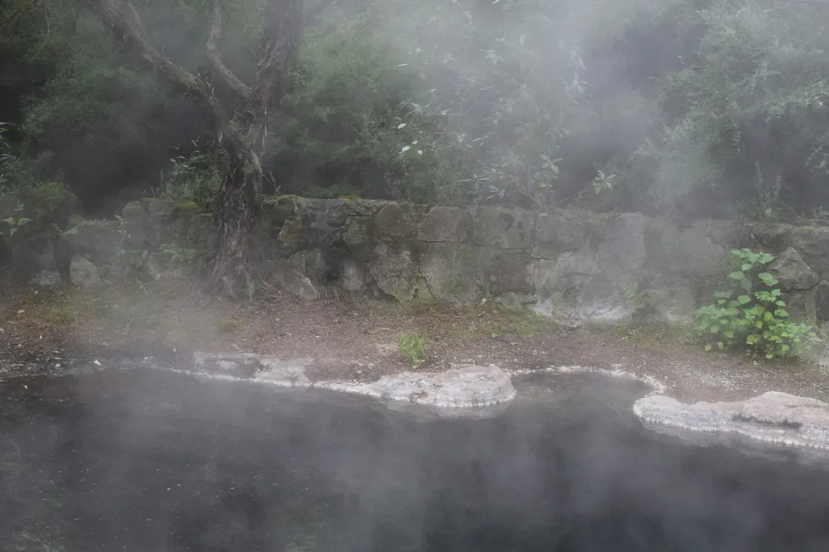
Almost the entire route crosses exposed volcanic ground with little vegetation. The landscape includes solidified lava flows, loose tephra and lava bombs, and active fumaroles release steam and sulphur dioxide, leaving yellow sulphur deposits. The lakes and pools are strongly coloured by dissolved volcanic minerals, and some springs emit near-boiling water, so natural water along the route is generally not drinkable.
Mount Tongariro is a multi-cratered active volcano. In August 2012 a small eruption from the Te Maari craters sent ash and blocks over the track and damaged the roof of Ketetahi Hut, and a second eruption in November 2012 produced an ash cloud about 4,000 metres high. No one was injured in either event, though the track was temporarily closed.
The Ketetahi hot springs lie on private land owned by the iwi Ngati Tuwharetoa, outside the national park, and access to them is prohibited. Climbing Mount Ngauruhoe as a side trip is discouraged: the mountain is tapu (sacred) to local iwi, the Department of Conservation asks visitors not to climb it, and the markings for that side route were removed. The Department of Conservation launched a free booking system in October 2023; bookings are recommended for everyone walking any part of the track and required for shuttle and guided services.
The main hazards are strong wind chill, rapid changes in weather and sudden storms with snow and cloud that greatly reduce visibility. Route poles can be buried by snow or blown down in winter. Wikipedia notes two deaths among an estimated 65,000 walkers in 2006. Walkers therefore need to follow current conditions and track advice, and be prepared for a full day on exposed ground.
See every tour and attraction we cover in New Zealand.