TorontoOntario · 36 tours
 Niagara FallsOntario · 25 tours
 New York CityNew York · 30 tours
 Las VegasNevada · 8 tours
 San FranciscoCalifornia · 16 tours
 VancouverBritish Columbia · 17 tours
 DubaiUAE · 54 tours
 Abu DhabiUAE · 5 tours
 Buenos AiresArgentina · 23 tours
 AthensGreece · 31 tours
 AucklandNew Zealand · 38 tours
 CancunMexico · 54 tours
No destinations match “”. Try searching all tours instead — that search understands full questions, not just place names.
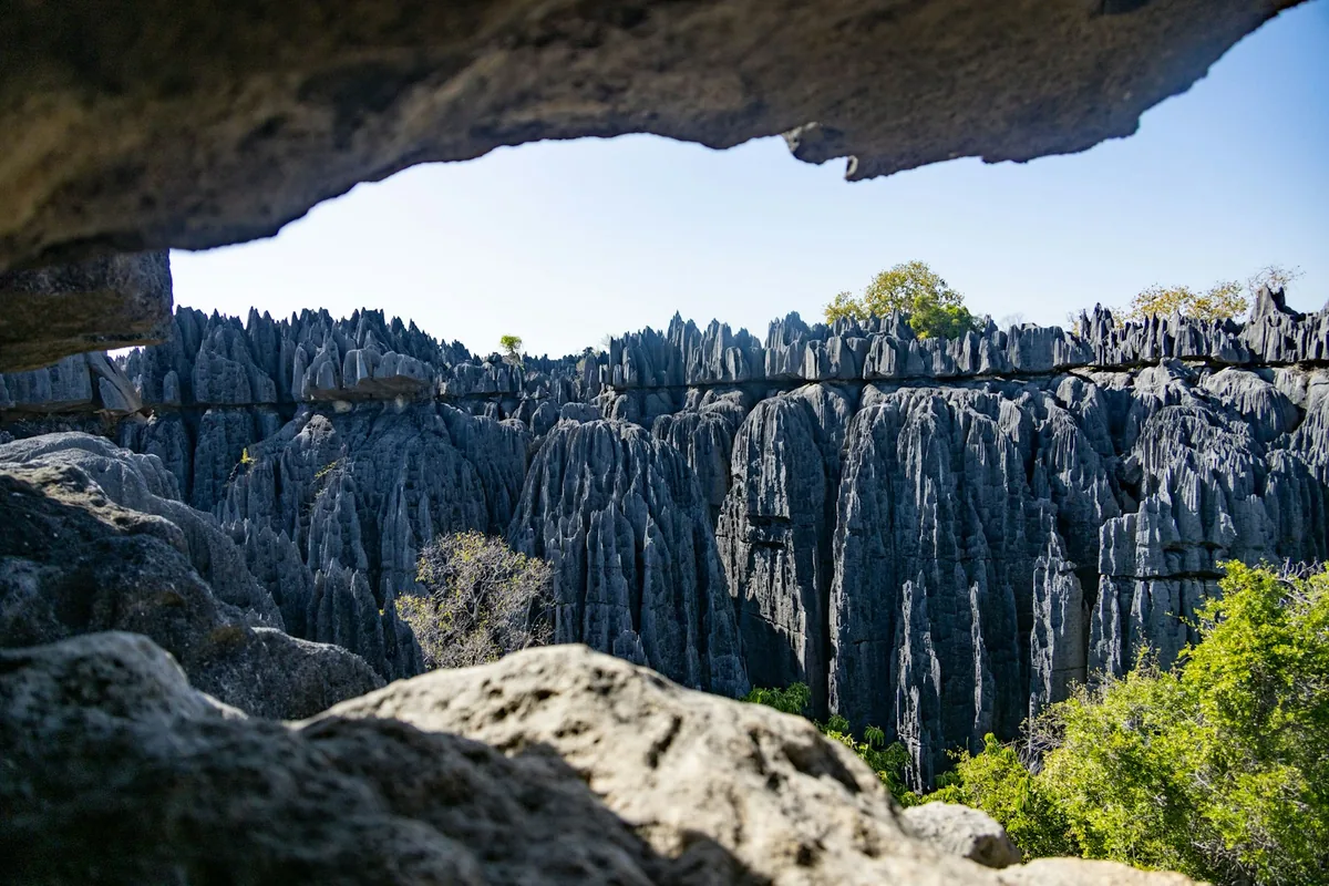
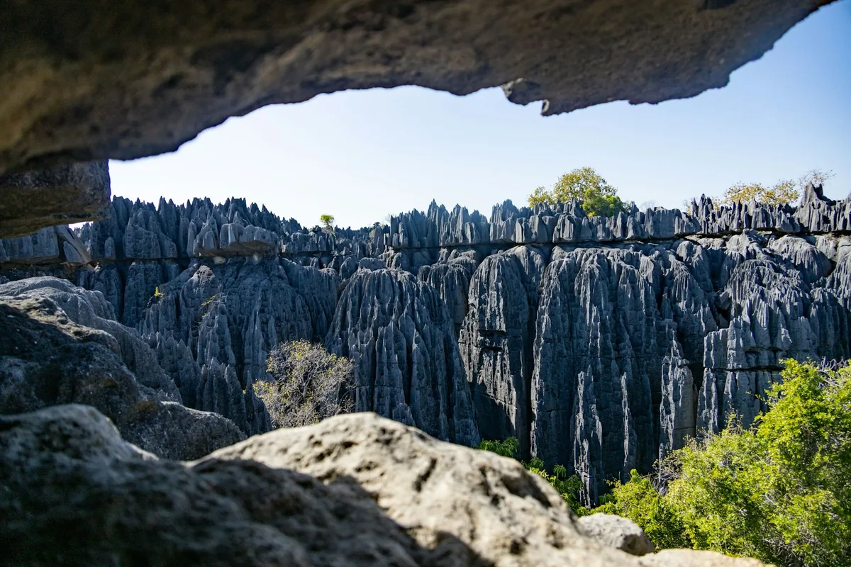
A UNESCO World Heritage site of razor-sharp limestone karst pinnacles ('tsingy'), explored via suspension bridges, ladders, and boat rides along the Manambolo Gorge.
 Multi-Day Tours
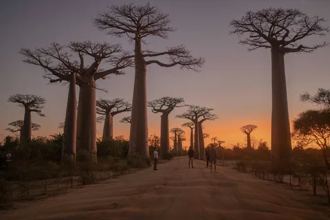
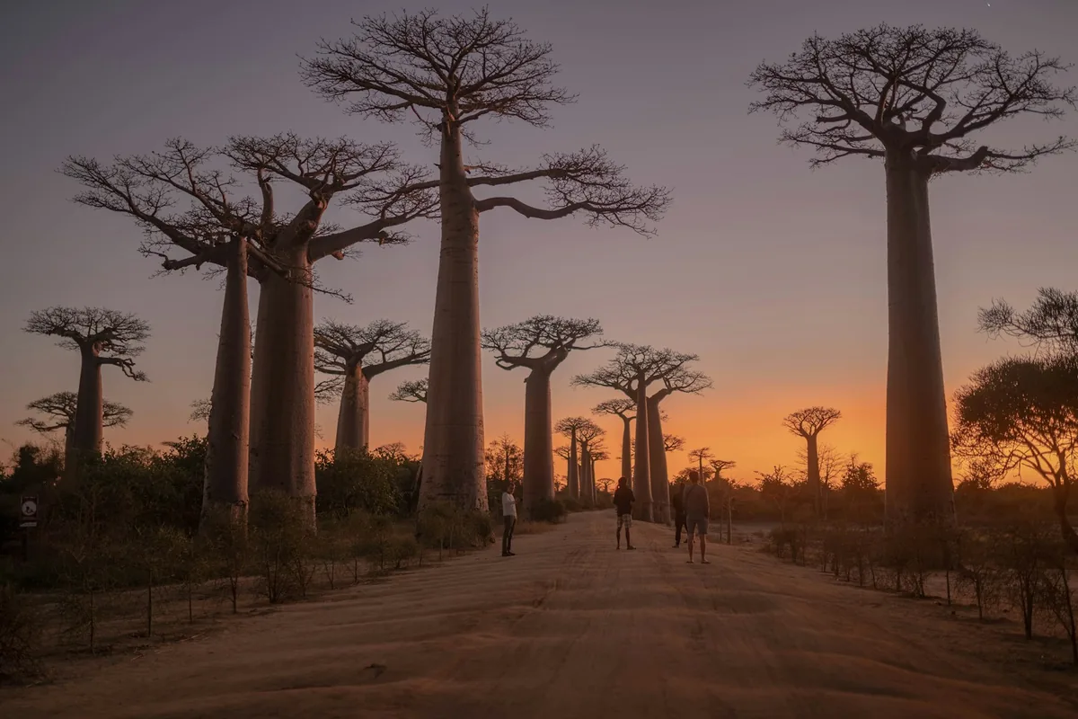
A 10-day circuit from Antananarivo to Morondava with a traditional canoe ride down the Tsiribihina River, night wildlife walks in Kirindy Forest, the karst pinnacles of Tsingy de Bemaraha, and a sunset stop at the Avenue of the Baobabs.
 Multi-Day Tours
An 8-day, faster-paced version of our western Madagascar circuit — Kirindy Forest's nocturnal wildlife, the Tsingy de Bemaraha's limestone pinnacles, and a sunset stop at the Avenue of the Baobabs, without the extra river-canoe leg.
 Multi-Day Tours
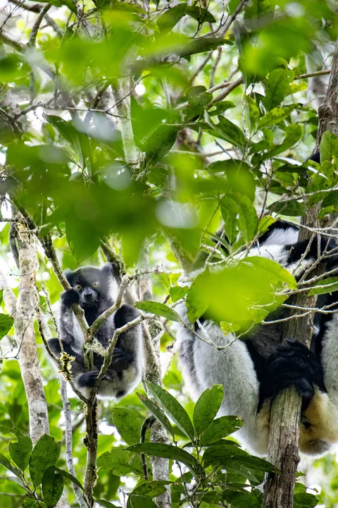
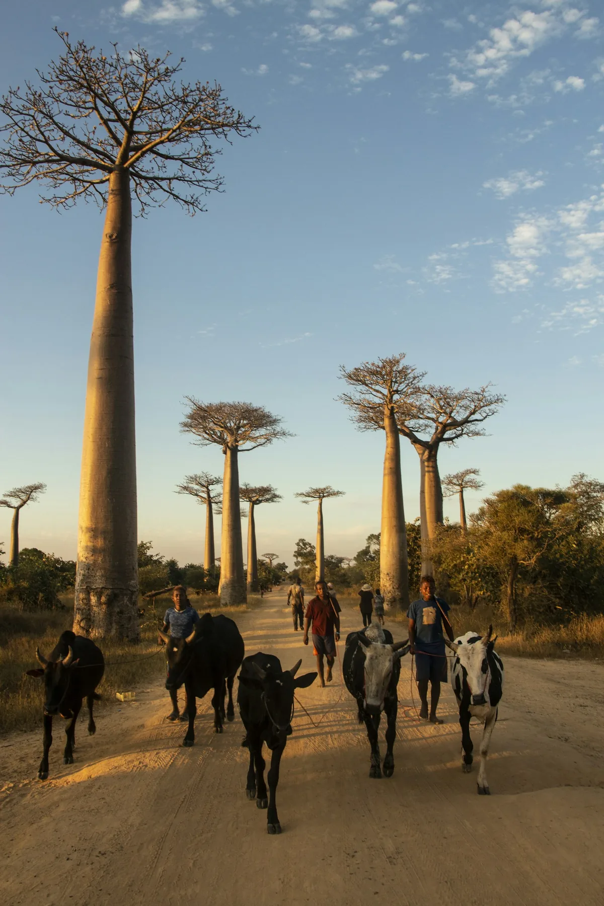
A 15-day, full-country circuit — the baobabs and tsingy of the west, Andasibe's rainforest, the Pangalanes Canal, and whale-watching off Sainte Marie island in the east.
Visitor guide
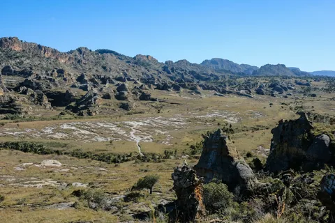
Tsingy de Bemaraha National Park is a protected area in the Melaky region of western Madagascar, known for its dense stands of sharp limestone pinnacles called tsingy. Together with the neighbouring Strict Nature Reserve, it forms the Tsingy de Bemaraha UNESCO World Heritage Site, which is notable for its karst landscape, dry forests and endemic wildlife.
According to Wikipedia, tsingy is a Malagasy word often translated as "where one cannot walk barefoot", a reference to the razor-like limestone. The formations are karst: groundwater has undercut elevated plateaus and carved caverns and fissures into the limestone, while vertical and horizontal erosion have produced fields of needles that look like forests of stone. The Manambolo River cuts through the area in a gorge below cliffs.
The park is traditionally described in two parts: the Great Tsingy and the Little Tsingy. Wikipedia's article on the national park describes the park as centred on those two formations.
The Strict Nature Reserve was established on 31 December 1927. In 1997 its southern end was designated Tsingy de Bemaraha National Park, which covers about 723 square kilometres, while the northern end remains a strict nature reserve of about 834 square kilometres in Wikipedia's listing. UNESCO inscribed the site as a natural World Heritage Site in 1990 under criteria vii and x, credited to its unique geography, preserved mangrove forests and wild bird and lemur populations. The park is managed by Madagascar National Parks.
Wikipedia says the area has an exceptionally large number of endemic plant and animal species, and many live in very small niches. The summit, slopes and base of a single needle can each support a different ecosystem. UNESCO credits the site with preserved mangrove forests as well as dry forest and the open karst, and the Manambolo River cuts through the whole area. Lemurs and birds are part of the draw for visitors, though the species seen depend on the area, season and luck.
Visitors reach the park by road from Morondava, roughly 150 kilometres south of the reserve according to Wikipedia, on tracks that can be rough, or less commonly from Antsalova, which can be reached by air. Wikipedia reports the park saw 10,093 visitors in 2011, a sign of how remote the area is. Travel in the park is typically on foot with a guide, over ladders, cables and suspension bridges that help visitors cross the formations, and by boat on the Manambolo gorge. The terrain is rough and physically demanding in places, and sturdy shoes and gloves are commonly recommended.
Travelling here with a private vehicle and driver is practical because of the distances and road conditions, and a private guide can explain the geology and wildlife. The wet season makes tracks harder to travel, so planning around the seasons matters.
Because the formations are so sharp and the gorge so deep, guides and park staff set the routes, and visitors follow marked paths rather than wandering freely across the rock.
See every tour and attraction we cover in Madagascar.